 Aborigines of Canada, Alaska and Greenland, 1906, map on durable cotton canvas, 50 x 70 cm, 20 x 25" approx.
$41.37
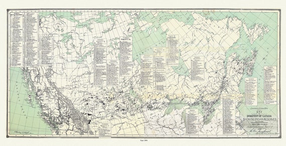 Map of the Dominion of Canada, showing Indian reserves, 1891,, vintage map reprinted on durable cotton canvas, 16 x 30" approx.
$41.37
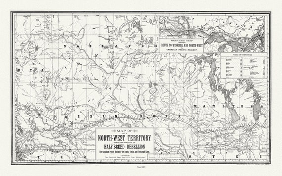 Map of part of North-West Territory shewing the locality of the Half-Breed Rebellion, 1885, map on canvas, 50 x 70 cm, 20 x 25" approx.
$41.37
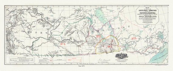 Northwest Territory, Manitoba Ceded by Indian Treaties 1,2,3, & 4, 1875 , map on durable cotton canvas, 20 x 34" approx.
$41.37
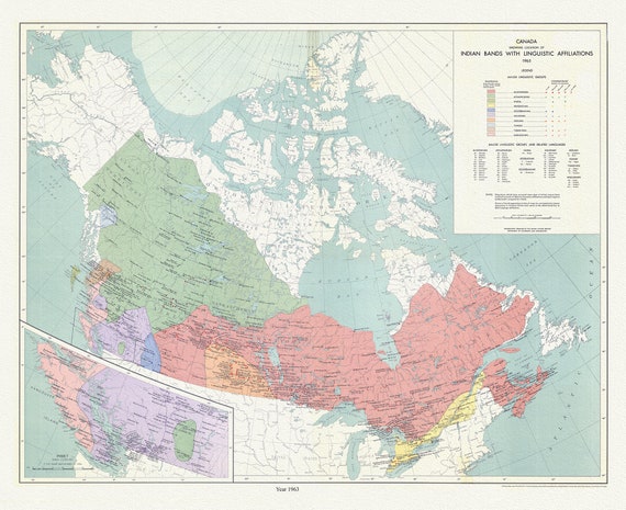 Canada, showing the locations of Indian bands with linguistic affiliations, 1965 , map on cotton canvas, 50 x 70 cm, 20 x 25" approx.
$41.37
 Northwest Territory, Manitoba Ceded by Indian Treaties 1,2,3, & 4, 1875 Ver. II, map on durable cotton canvas, 20 x 34" approx.
$52.66
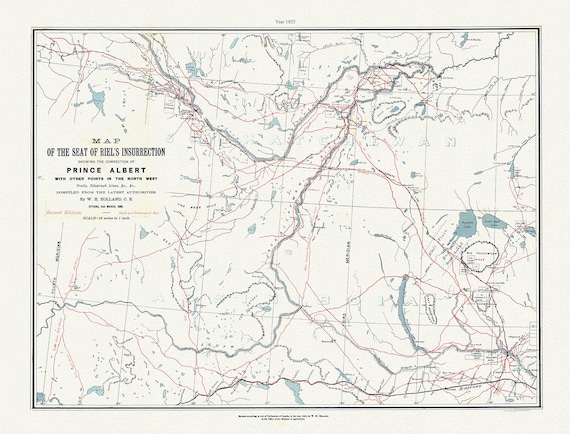 Map of the seat of Riel's insurrection. showing, Prince Albert with other points in the NW, trails, telegraph lines, 1885, canvas, 20 x 25"
$41.37
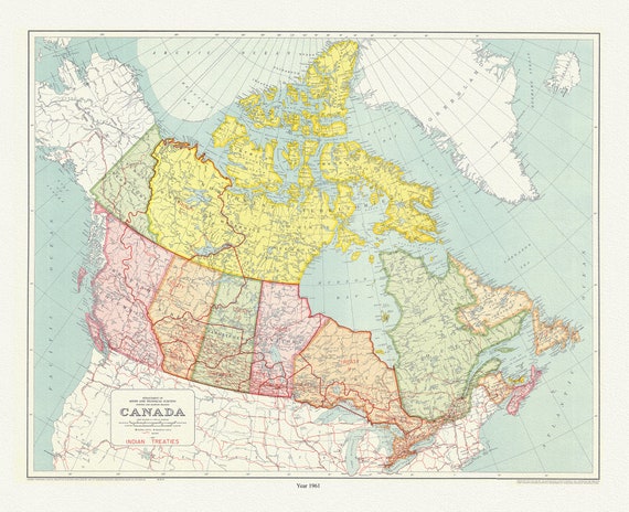 Map outlining a number of treaties between Indigenous peoples and the Canadian government, 1961, map on canvas, 50 x 70 cm, 20 x 25" approx.
$41.37
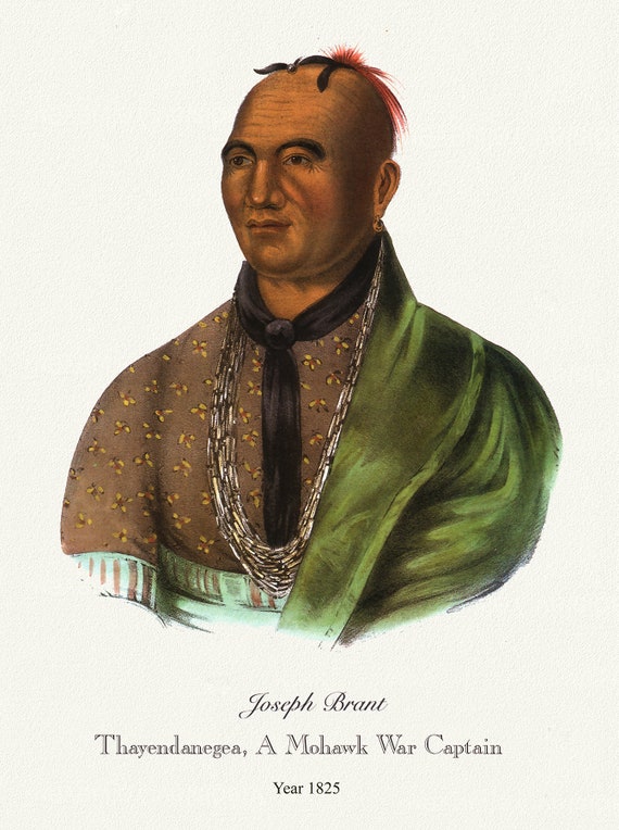 Joeseph Brant, Thayendanegea, A Mohawk War Captain, 1825, vintage print on canvas, 50 x 70 cm, 20 x 25" approx.
$41.37