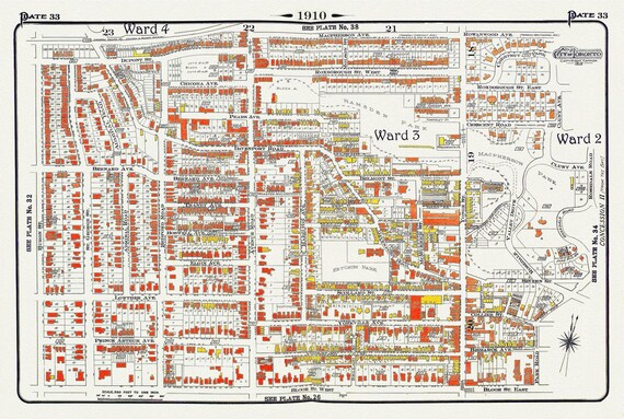
 Plate 33, Toronto Uptown, Yorkville, & The Annex, 1910, map on heavy cotton canvas, 20 x 30" approx.
$33.98
Plate 33, Toronto Uptown, Yorkville, & The Annex, 1910, map on heavy cotton canvas, 20 x 30" approx.
$33.98
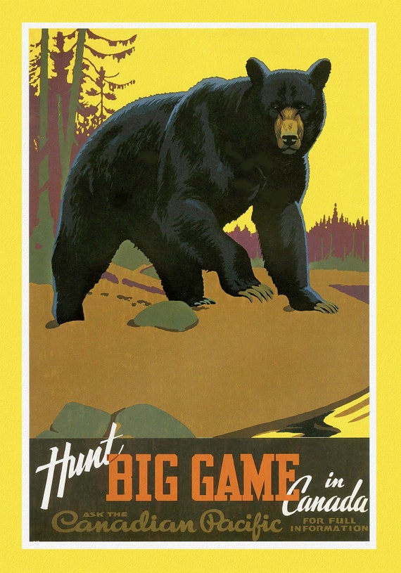 Canadian Pacific, Hunt Big Game in Canada, c. 1962 , travel poster on heavy cotton canvas, 22x27" approx.
$33.98
Canadian Pacific, Hunt Big Game in Canada, c. 1962 , travel poster on heavy cotton canvas, 22x27" approx.
$33.98
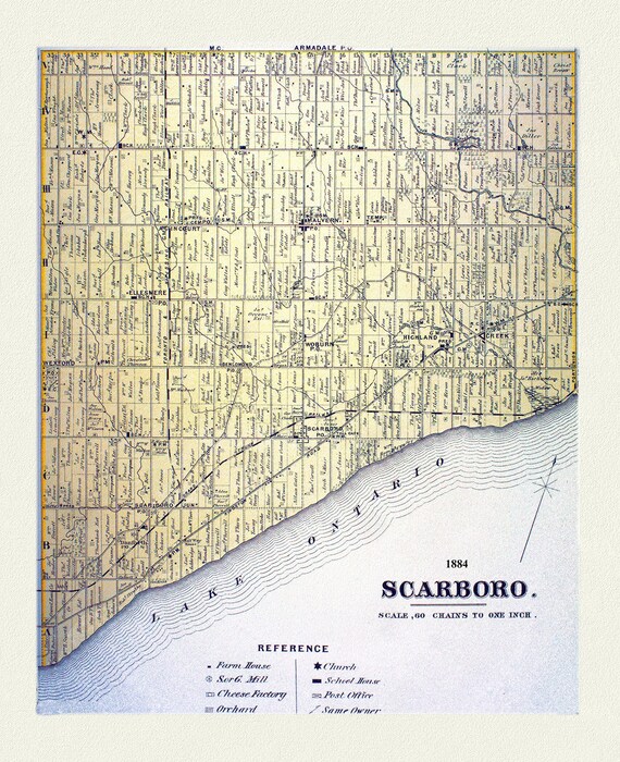 Scarboro, York County Atlas,1884
$33.98
Scarboro, York County Atlas,1884
$33.98
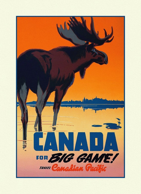 Travel Poster, Canada for Big Game!, 27x 22", on heavy cotton canvas
$33.98
Travel Poster, Canada for Big Game!, 27x 22", on heavy cotton canvas
$33.98
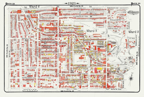 Plate 33, Toronto Uptown, Yorkville, & The Annex, 1923, Map on heavy cotton canvas, 18x27in. approx.
$33.98
Plate 33, Toronto Uptown, Yorkville, & The Annex, 1923, Map on heavy cotton canvas, 18x27in. approx.
$33.98
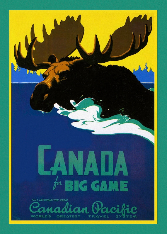 Canada for Big Game, Canadian Pacific, c. 1950, travel poster on heavy cotton canvas, 22x27" approx.
$33.98
Canada for Big Game, Canadian Pacific, c. 1950, travel poster on heavy cotton canvas, 22x27" approx.
$33.98
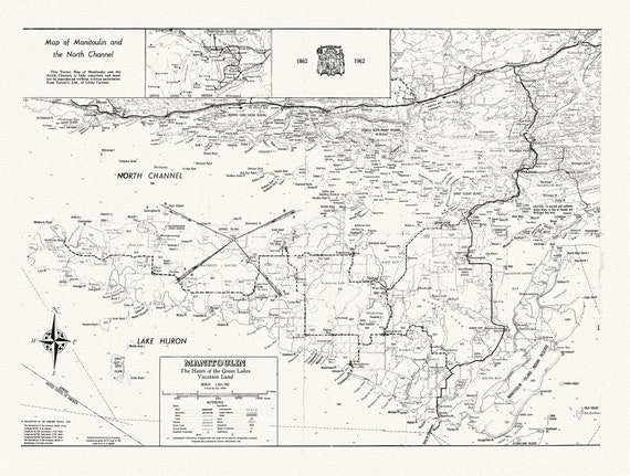 Map of Manitoulin and the North Channel 1862 to 1962, map on heavy cotton canvas, 22x27" approx.
$33.98
Map of Manitoulin and the North Channel 1862 to 1962, map on heavy cotton canvas, 22x27" approx.
$33.98
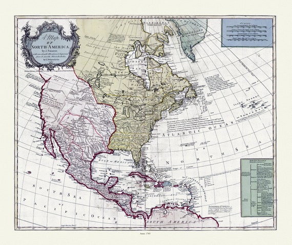 A map of North America, 1765, on heavy cotton canvas, 22x27" approx.
$33.98
A map of North America, 1765, on heavy cotton canvas, 22x27" approx.
$33.98
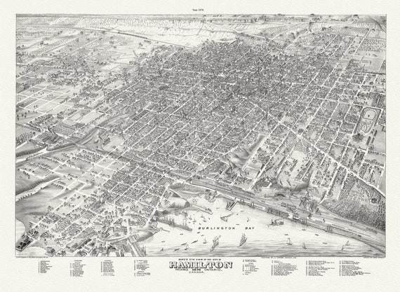 Bird's eye view of the City of Hamilton, Ontario, 1876 , map on durable cotton canvas, 50 x 70 cm, 20 x 25" approx.
$33.98
Bird's eye view of the City of Hamilton, Ontario, 1876 , map on durable cotton canvas, 50 x 70 cm, 20 x 25" approx.
$33.98
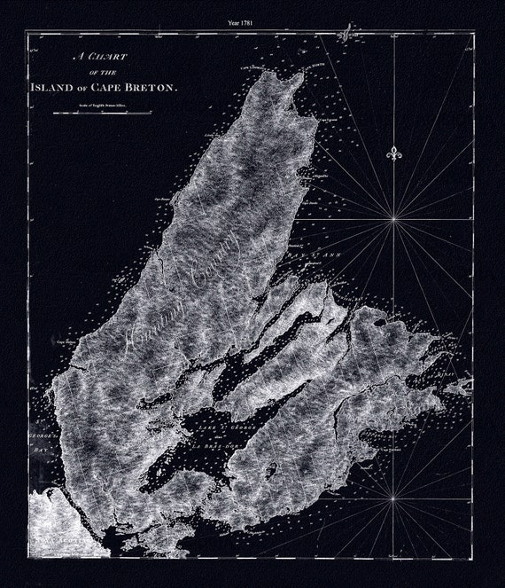 A chart of the island of Cape Breton.1781, Des Barres auth. Ver. BWI , map on durable cotton canvas, 50 x 70 cm, 20 x 25" approx.
$33.98
A chart of the island of Cape Breton.1781, Des Barres auth. Ver. BWI , map on durable cotton canvas, 50 x 70 cm, 20 x 25" approx.
$33.98
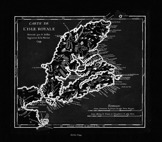 Bellin, Carte de L'isle Royalee, 1744 Ver. BWI, map on durable cotton canvas, 50 x 70 cm, 20 x 25" approx.
$33.98
Bellin, Carte de L'isle Royalee, 1744 Ver. BWI, map on durable cotton canvas, 50 x 70 cm, 20 x 25" approx.
$33.98
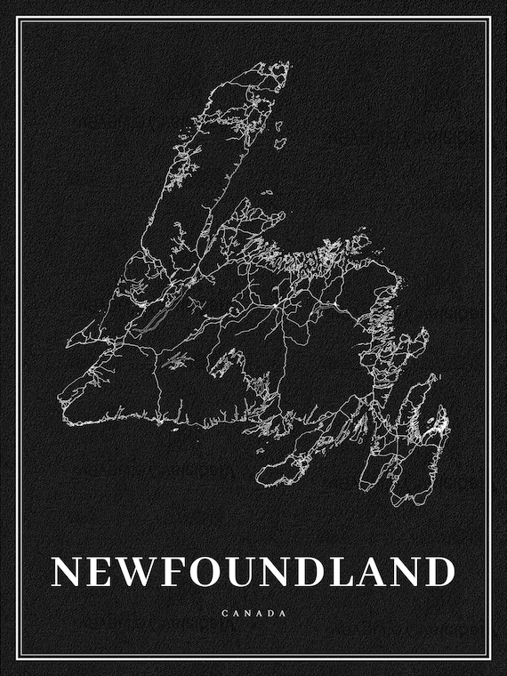 Newfoundland, A Modern Map Ver. Inv., map on durable cotton canvas, 50 x 70 cm, 20 x 25" approx.
$33.98
Newfoundland, A Modern Map Ver. Inv., map on durable cotton canvas, 50 x 70 cm, 20 x 25" approx.
$33.98
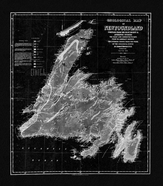 Geological Map of Newfoundland, 1921 Ver. BWI, vintage print on canvas, 50 x 70 cm, 20 x 25" approx.
$33.98
Geological Map of Newfoundland, 1921 Ver. BWI, vintage print on canvas, 50 x 70 cm, 20 x 25" approx.
$33.98
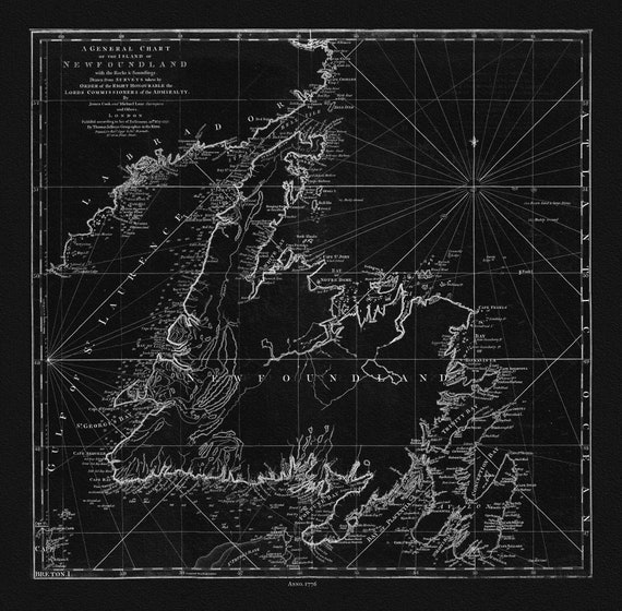 Jefferys, A General Chart Of The Island Of Newfoundland, 1776 Ver. BWI , map on durable cotton canvas, 50 x 70 cm, 20 x 25" approx.
$33.98
Jefferys, A General Chart Of The Island Of Newfoundland, 1776 Ver. BWI , map on durable cotton canvas, 50 x 70 cm, 20 x 25" approx.
$33.98
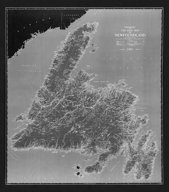 A Ten Mile Map of Newfoundland, 1941 Ver. BWI , map on durable cotton canvas, 50 x 70 cm, 20 x 25" approx.
$33.98
A Ten Mile Map of Newfoundland, 1941 Ver. BWI , map on durable cotton canvas, 50 x 70 cm, 20 x 25" approx.
$33.98
 Coronelli, Nova Totius Terrarum Orbis Geographica, 1606 Ver. D ,Map on heavy cotton canvas, 22x27in. approx.
$33.98
Coronelli, Nova Totius Terrarum Orbis Geographica, 1606 Ver. D ,Map on heavy cotton canvas, 22x27in. approx.
$33.98
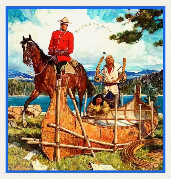 RCMP, Maintain The Right, Ver. VII, poster on heavy cotton canvas, 50 x 70 cm, 20 x 25" approx.
$33.98
RCMP, Maintain The Right, Ver. VII, poster on heavy cotton canvas, 50 x 70 cm, 20 x 25" approx.
$33.98
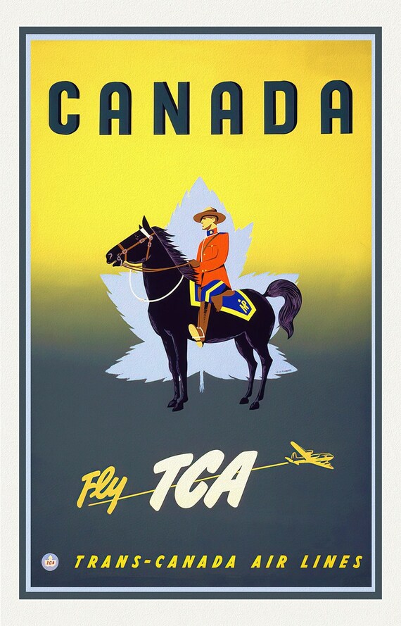 Fly Trans-Canada Airlines!, travel poster on heavy cotton canvas, 50 x 70 cm, 20 x 25" approx.
$33.98
Fly Trans-Canada Airlines!, travel poster on heavy cotton canvas, 50 x 70 cm, 20 x 25" approx.
$33.98
 CNR to Everywhere in Canada, travel poster on heavy cotton canvas, 50 x 70 cm, 20 x 25" approx.
$33.98
CNR to Everywhere in Canada, travel poster on heavy cotton canvas, 50 x 70 cm, 20 x 25" approx.
$33.98
 RCMP, Maintain The Right, Ver. V, poster on heavy cotton canvas, 50 x 70 cm, 20 x 25" approx.
$33.98
RCMP, Maintain The Right, Ver. V, poster on heavy cotton canvas, 50 x 70 cm, 20 x 25" approx.
$33.98