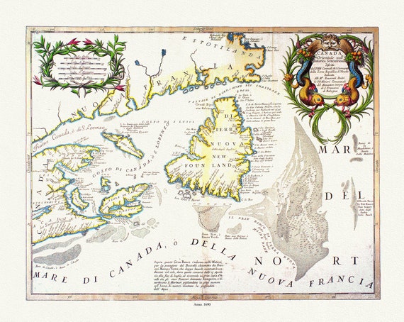
 Coronelli, Canada Orientale Nell' America Settentrionale, 1690, map on heavy cotton canvas, 22x27" approx.
$33.94
Coronelli, Canada Orientale Nell' America Settentrionale, 1690, map on heavy cotton canvas, 22x27" approx.
$33.94
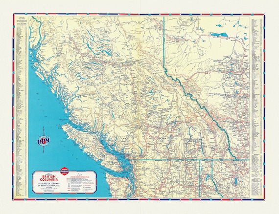 A Road Map of British Columbia, 1937
$33.94
A Road Map of British Columbia, 1937
$33.94
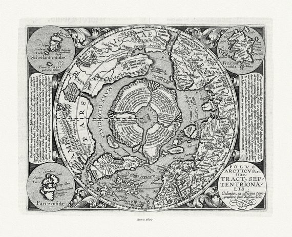 Polus Arcticus, 1600, ,map on heavy cotton canvas, 22x27" approx.
$33.94
Polus Arcticus, 1600, ,map on heavy cotton canvas, 22x27" approx.
$33.94
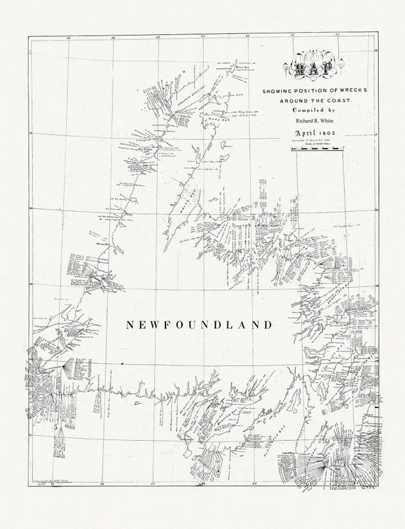 Newfoundland, A handrawn Map showing position of shipwrecks around the coast, R.White auth., 1904, on canvas, 45 x 65 cm, 18 x 24" approx.
$33.94
Newfoundland, A handrawn Map showing position of shipwrecks around the coast, R.White auth., 1904, on canvas, 45 x 65 cm, 18 x 24" approx.
$33.94
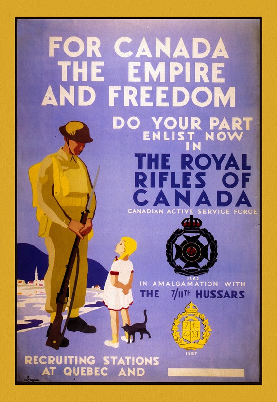 Royal Rifles of Canada, Canada WW I Poster, on heavy cotton canvas, 22x27" approx.
$33.94
Royal Rifles of Canada, Canada WW I Poster, on heavy cotton canvas, 22x27" approx.
$33.94
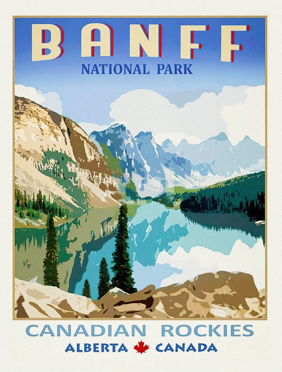 Banf Canadian Rockies, Alberta , vintage poster on heavy cotton canvas, 20x25" approx.
$33.94
Banf Canadian Rockies, Alberta , vintage poster on heavy cotton canvas, 20x25" approx.
$33.94
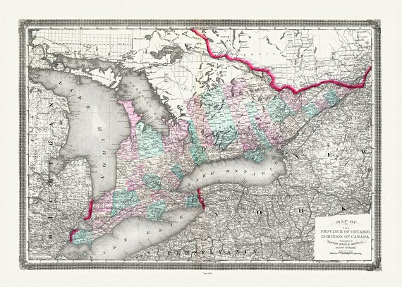 Ontario, Canada, Taintor Brothers & Merrill auth., 1874
$33.94
Ontario, Canada, Taintor Brothers & Merrill auth., 1874
$33.94
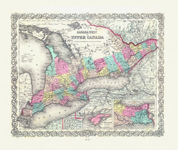 EOntario: Upper Canada. 1857
$33.94
EOntario: Upper Canada. 1857
$33.94
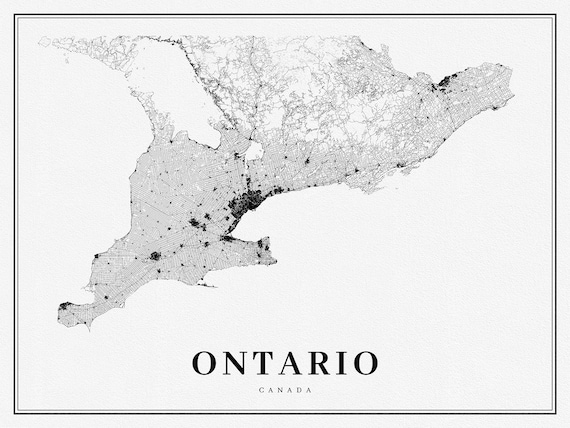 Southern Ontario, A Modern Map, on heavy cotton canvas, 50 x 70 cm, 20 x 25" approx.
$33.94
Southern Ontario, A Modern Map, on heavy cotton canvas, 50 x 70 cm, 20 x 25" approx.
$33.94
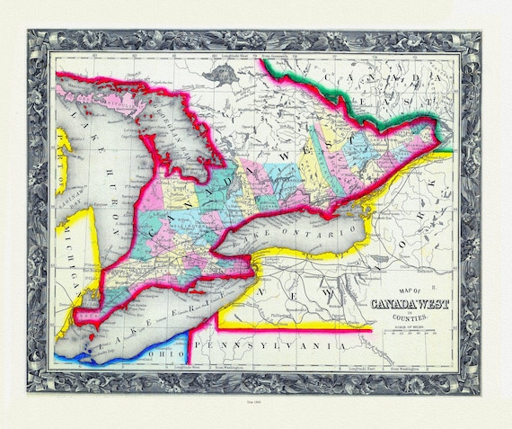 Map Of Canada West, In Counties, 1860
$33.94
Map Of Canada West, In Counties, 1860
$33.94
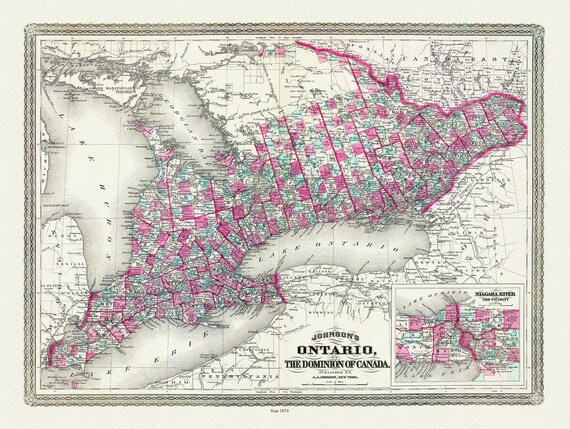 Ontario of the Dominion of Canada, Johnson auth., 1874 , map on heavy cotton canvas, 50 x 70 cm, 20 x 25" approx.
$33.94
Ontario of the Dominion of Canada, Johnson auth., 1874 , map on heavy cotton canvas, 50 x 70 cm, 20 x 25" approx.
$33.94
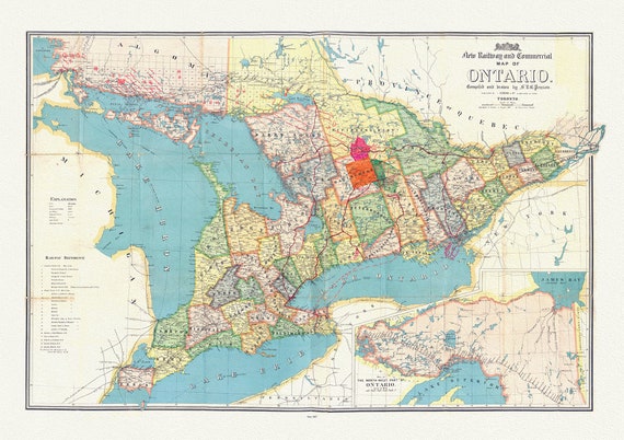 Penson, A New Railway and Commercial Map of Ontario,1887 Ver. II , map on heavy cotton canvas, 50 x 70 cm, 20 x 25" approx.
$33.94
Penson, A New Railway and Commercial Map of Ontario,1887 Ver. II , map on heavy cotton canvas, 50 x 70 cm, 20 x 25" approx.
$33.94
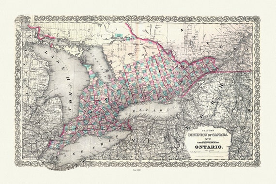 Colton, The Dominion of Canada No. 2., The Province of Ontario, Colton, 1880, map on heavy cotton canvas, 50 x 70 cm, 20 x 25" approx.
$33.94
Colton, The Dominion of Canada No. 2., The Province of Ontario, Colton, 1880, map on heavy cotton canvas, 50 x 70 cm, 20 x 25" approx.
$33.94
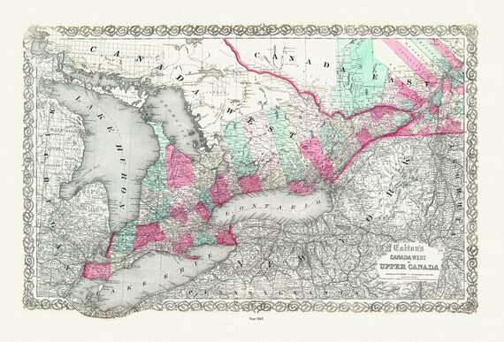 Ontario: Canada West or Upper Canada, Colton auth., 1865 , map on heavy cotton canvas, 50 x 70 cm, 20 x 25" approx.
$33.94
Ontario: Canada West or Upper Canada, Colton auth., 1865 , map on heavy cotton canvas, 50 x 70 cm, 20 x 25" approx.
$33.94
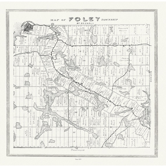 Muskoka-Haliburton, Foley Township, 1893, map on heavy cotton canvas, 20 x 25" approx.
$33.94
Muskoka-Haliburton, Foley Township, 1893, map on heavy cotton canvas, 20 x 25" approx.
$33.94
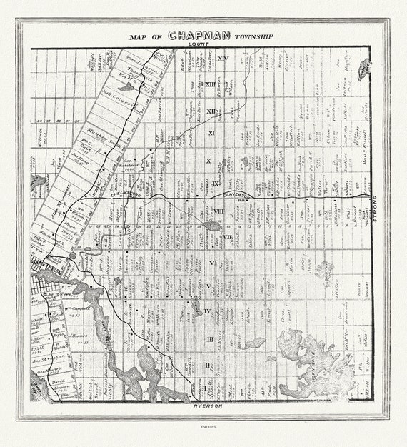 Muskoka-Haliburton, Chapman Township, 1893 , map on heavy cotton canvas, 20 x 25" approx.
$33.94
Muskoka-Haliburton, Chapman Township, 1893 , map on heavy cotton canvas, 20 x 25" approx.
$33.94
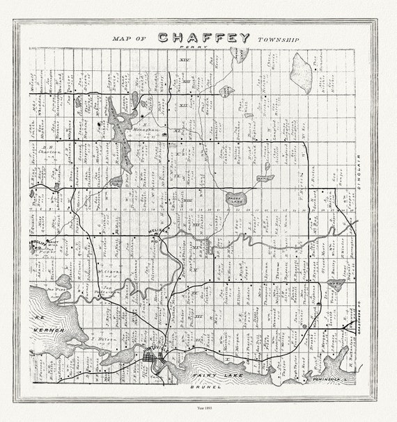 Muskoka-Haliburton, Chaffey Township, 1893, map on heavy cotton canvas, 20 x 25" approx.
$33.94
Muskoka-Haliburton, Chaffey Township, 1893, map on heavy cotton canvas, 20 x 25" approx.
$33.94
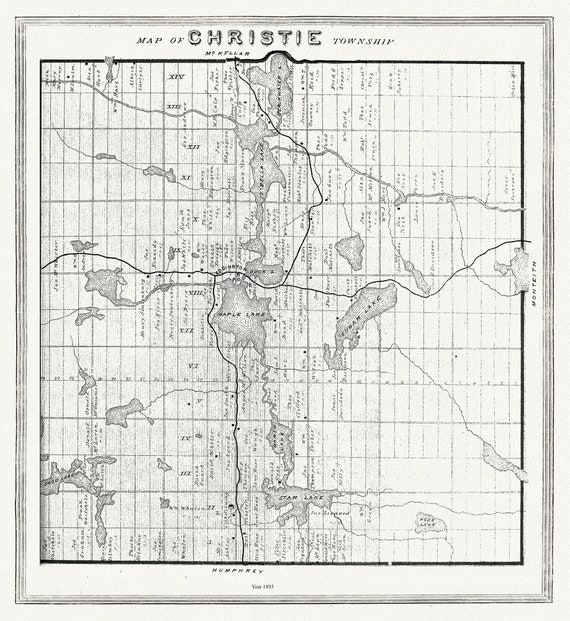 Muskoka-Haliburton, Christie Township, 1893 , map on heavy cotton canvas, 20 x 25" approx.
$33.94
Muskoka-Haliburton, Christie Township, 1893 , map on heavy cotton canvas, 20 x 25" approx.
$33.94
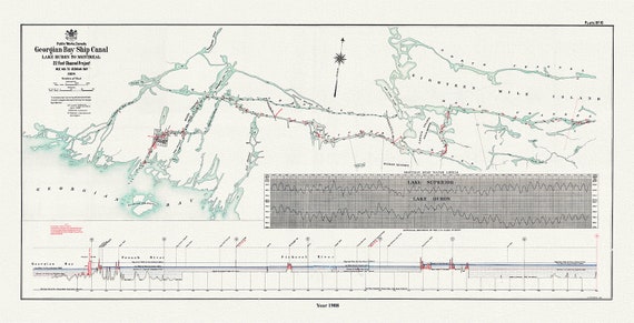 The Georgian Bay Ship Canal from Lake Huron to Montreal, 1908
$33.94
The Georgian Bay Ship Canal from Lake Huron to Montreal, 1908
$33.94
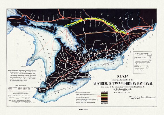 Map shewing the route of the Montreal, Ottawa and Georgian Bay Canal, also subsidiary routes, 1898, on canvas, 50 x 70 cm, 20 x 25" approx.
$33.94
Map shewing the route of the Montreal, Ottawa and Georgian Bay Canal, also subsidiary routes, 1898, on canvas, 50 x 70 cm, 20 x 25" approx.
$33.94