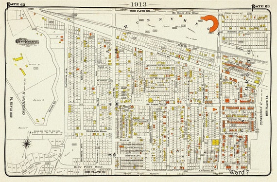
 Plate 63, Toronto West, The Junction East to Runnymede, 1913, map on heavy cotton canvas, 20 x 30" or 50 x 75cm. approx.
$33.94
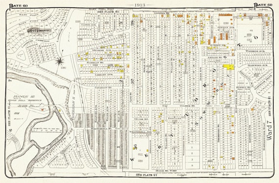 Plate 60, Toronto West, High Park, Bloor West Village North, 1913, map on heavy cotton canvas, 20 x 30" or 50 x 75cm. approx.
$41.48
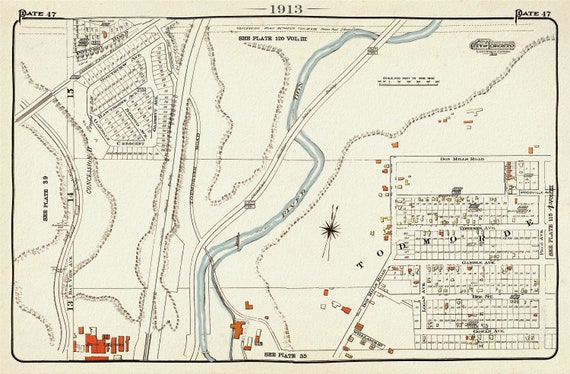 Plate 47, Toronto East, Danforth, Todmordon, 1913, map on heavy cotton canvas, 20 x 30" approx.
$41.48
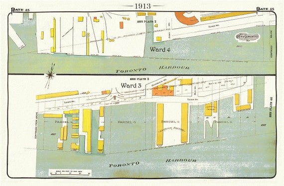 Plate 45, Toronto Downtown, Waterfront, 1913, map on heavy cotton canvas, 20 x 30" approx.
$41.48
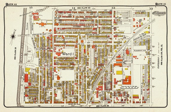 Plate 41, TorontoEast, Riverdale, Leslieville, 1913, map on heavy cotton canvas, 20 x 30" approx.
$41.48
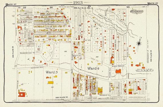 Plate 37 Toronto West, Casa Loma, 1913, map on heavy cotton canvas, 20 x 30" approx.
$41.48
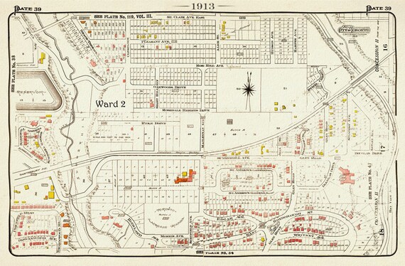 Plate 39 Toronto Uptown East, Rosedale North, Moore Park, 1913, map on heavy cotton canvas, 20 x 30" approx.
$41.48
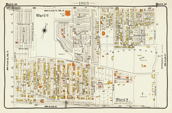 Plate 36 Toronto West, Dovercourt North, 1913, map on heavy cotton canvas, 20 x 30" approx.
$41.48
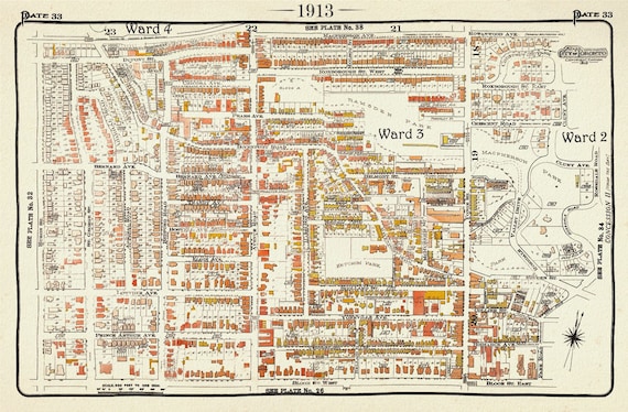 Plate 33, Toronto Uptown, Yorkville, 1913, map on heavy cotton canvas, 20 x 30" approx.
$41.48
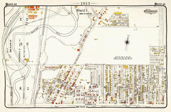 Plate 35, Toronto East, Danforth, Chester Village, 1913, map on heavy cotton canvas, 20 x 30" approx.
$41.48
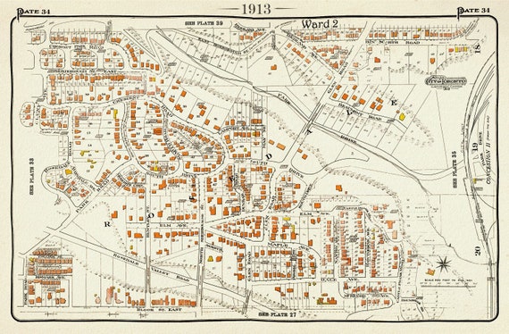 Plate 34, Toronto Uptown, Rosedale, 1913, map on heavy cotton canvas, 20 x 30" approx.
$41.48
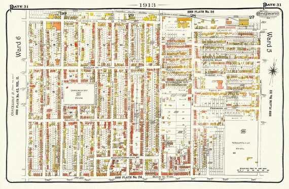 EPlate 31, Toronto West, Brockton, Bloorcourt North, 1913, map on heavy cotton canvas, 20 x 30" approx.
$41.48
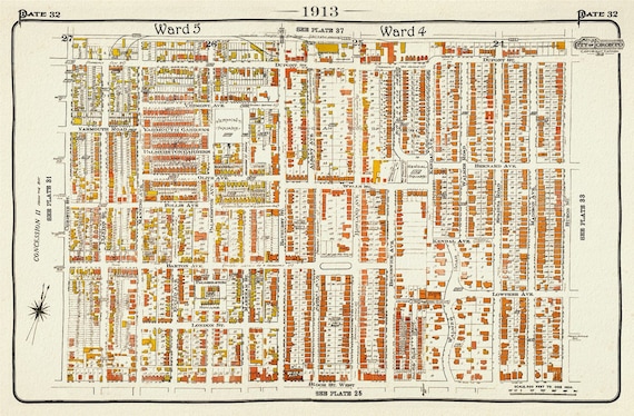 Plate 32, Toronto Uptown West, Seaton Village, Annex, 1913, map on heavy cotton canvas, 20 x 30" approx.
$41.48
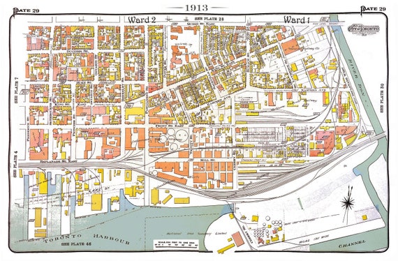 Plate 29, Toronto Downtown East, Corktown, 1913, map on heavy cotton canvas, 20 x 30" approx.
$41.48
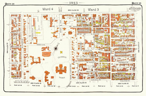 Plate 26, Toronto Central West, Queens Park, 1913, map on heavy cotton canvas, 20 x 30" approx.
$41.48
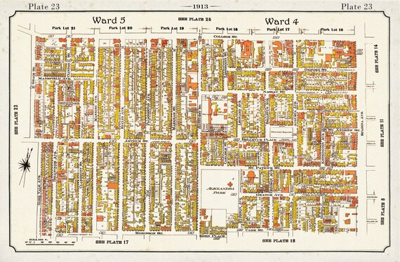 Plate 23, Toronto West Parkdale, Brockton, Little Italy, 1913, map on heavy cotton canvas, 20 x 30" approx.
$41.48
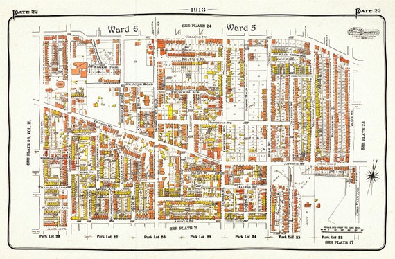 Plate 22, Toronto West, Parkdale, Brockton Village, 1913, map on heavy cotton canvas, 20 x 30" approx.
$41.48
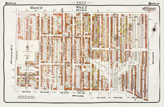 Plate 24, Toronto West, Brockton, Parkdale, Dufferin Grove, 1913, map on heavy cotton canvas, 20 x 30" approx.
$41.48
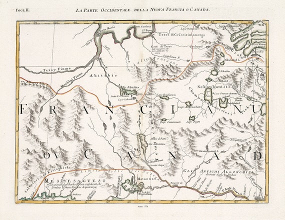 La Parte Occidentale della Nuova Francia o Canada.Fogl. II, 1778, Northern Ontario, Map on heavy cotton canvas, 22x27" approx.
$41.48
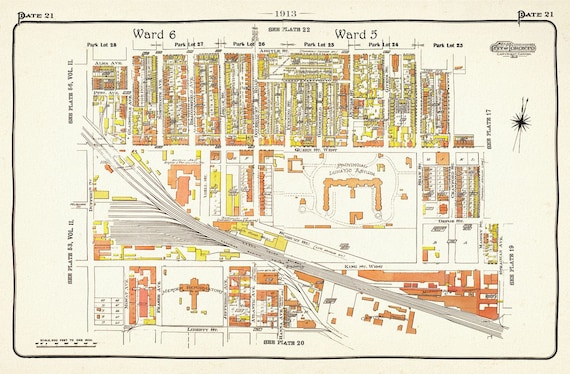 Plate 21, Toronto West, Parkdale, Liberty Village, 1913, map on heavy cotton canvas, 20 x 30" approx.
$41.48