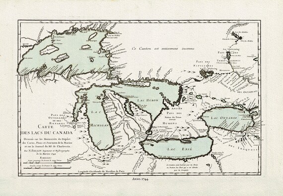
 Bellin, Carte des lacs du Canada, 1744 Ver. III, map on heavy cotton canvas, 22x27" approx.
$41.92
Bellin, Carte des lacs du Canada, 1744 Ver. III, map on heavy cotton canvas, 22x27" approx.
$41.92
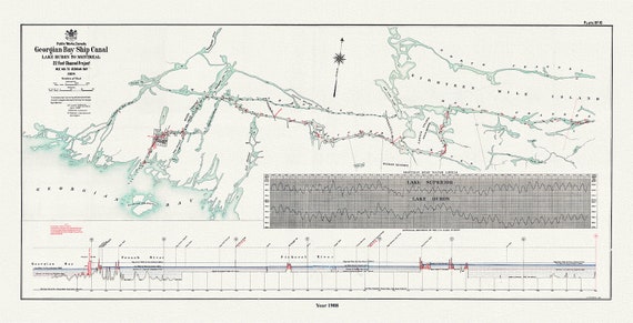 The Georgian Bay Ship Canal from Lake Huron to Montreal, 1908
$41.92
The Georgian Bay Ship Canal from Lake Huron to Montreal, 1908
$41.92
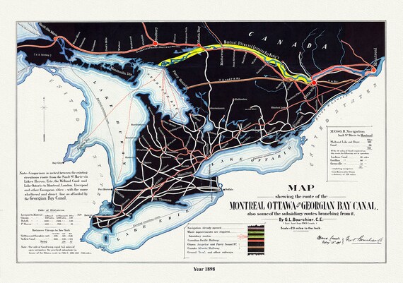 Map shewing the route of the Montreal, Ottawa and Georgian Bay Canal, also subsidiary routes, 1898, on canvas, 50 x 70 cm, 20 x 25" approx.
$41.92
Map shewing the route of the Montreal, Ottawa and Georgian Bay Canal, also subsidiary routes, 1898, on canvas, 50 x 70 cm, 20 x 25" approx.
$41.92
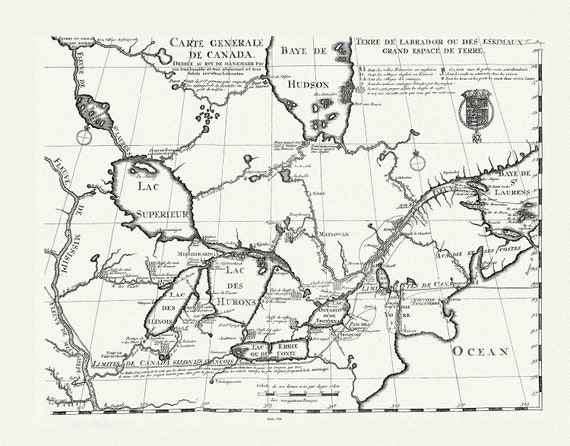 Carte generale de Canada, Lahotan auth., 1706, map on heavy cotton canvas, 50 x 70 cm, 20 x 25" approx.
$41.92
Carte generale de Canada, Lahotan auth., 1706, map on heavy cotton canvas, 50 x 70 cm, 20 x 25" approx.
$41.92
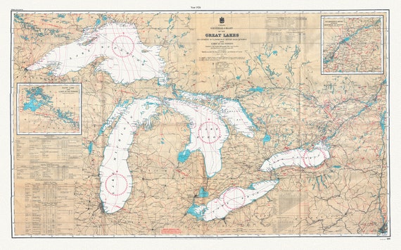 Canada Hydrographic Office, A General Chart of the Great Lakes, 1927 , map on heavy cotton canvas, 50x70cm (20 x 25") approx.
$41.92
Canada Hydrographic Office, A General Chart of the Great Lakes, 1927 , map on heavy cotton canvas, 50x70cm (20 x 25") approx.
$41.92