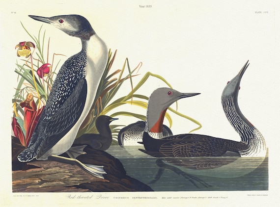
 J.J. Audubon, Red-throated diver.Colymbus septentrionalis. Male adult summer plumage, 2. Adult female, 3. Young, 1835, 20 x 25" approx.
$41.37
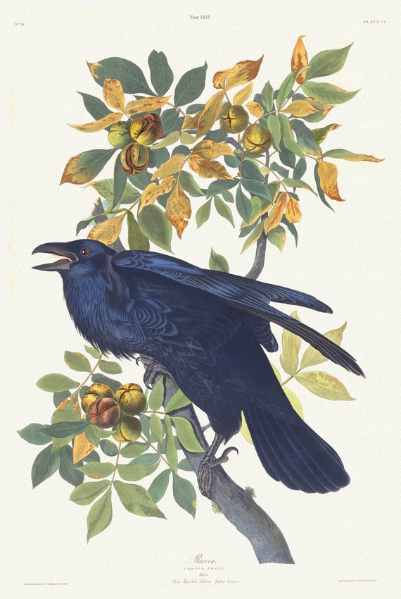 J.J. Audubon, Raven .Corvus corax. Male.. Juglans lacinosa, 1835 , vintage nature print on canvas, 50 x 70 cm, 20 x 25" approx.
$41.37
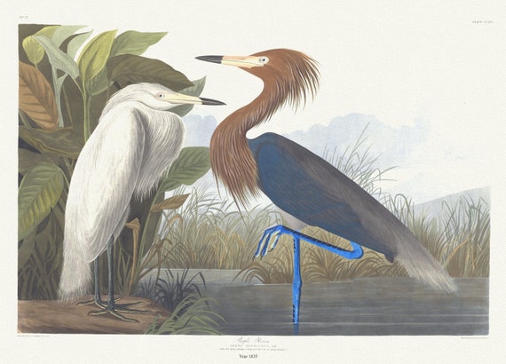 J.J. Audubon, Purple heron. Ardea rufescens, Buff. Adult full spring plumage, 1. Young , 1835, on canvas, 50 x 70 cm, 20 x 25" approx.
$41.37
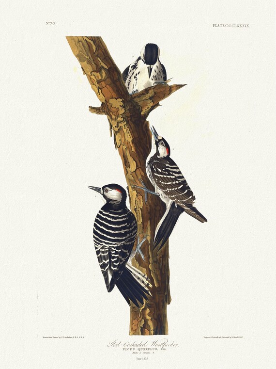 J.J. Audubon, Red-cockaded woodpecker Picus querulus, Wils. Males, 1. Female, 2, 1835, print on canvas, 50 x 70 cm, 20 x 25" approx.
$41.37
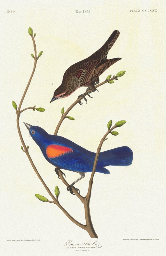 J.J. Audubon, Prairie starling. Icterus gubernator, Aud. Male, 1. Female, 2., 1835 , print on canvas, 50 x 70 cm, 20 x 25" approx.
$41.37
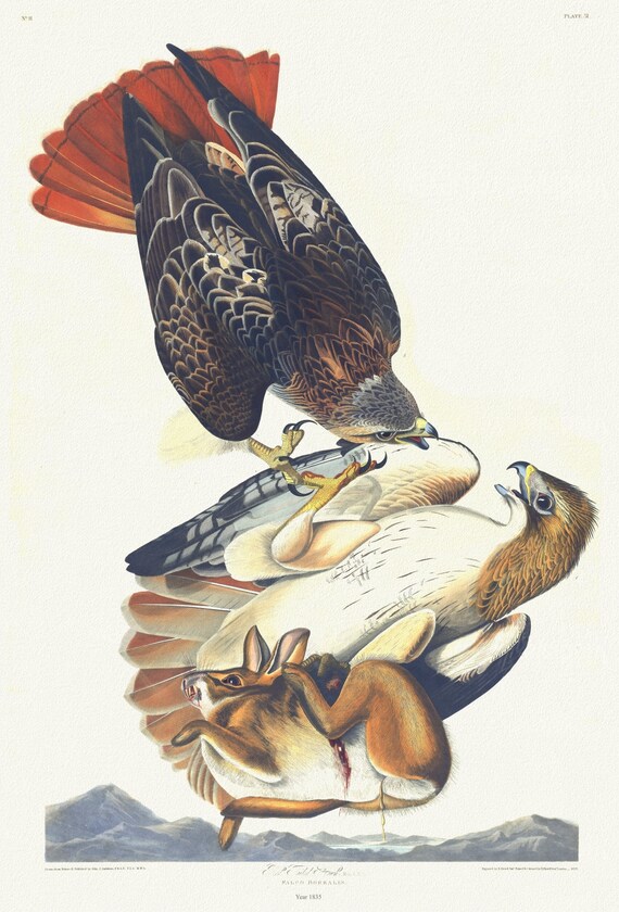 J.J. Audubon, Red tailed hawk. Male, 1. F, 2. Falco borealis, 1835, vintage nature print on canvas, 50 x 70 cm, 20 x 25" approx.
$41.37
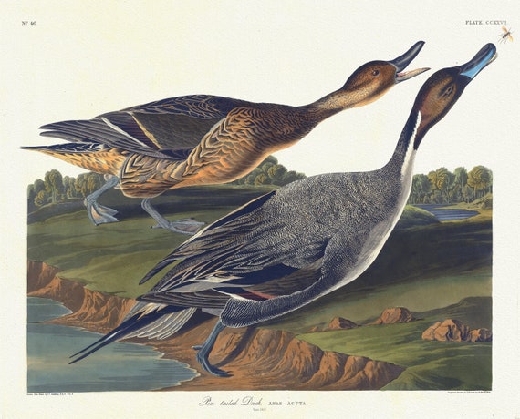 J.J. Audubon, Pin tailed duck. Anas acuta,1835, vintage nature print on canvas, 50 x 70 cm, 20 x 25" approx.
$41.37
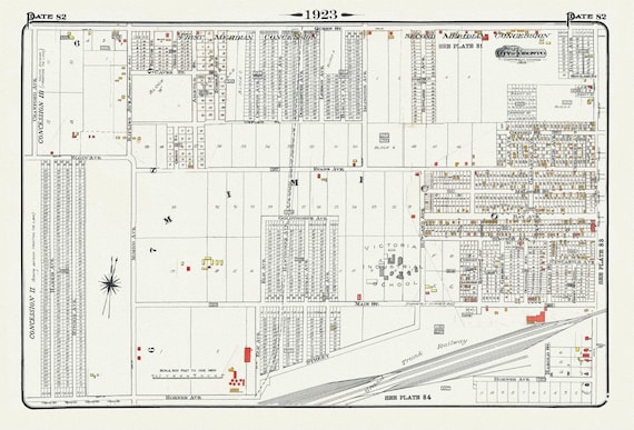 Plate 82, Toronto West, Mimico, 1923, Map on heavy cotton canvas, 18x27in. approx.
$41.37
 The Toronto Humane Society, Help Us Grow!, Ver. VIII , vintage print on canvas, 50 x 70 cm, 20 x 25" approx.
$41.37
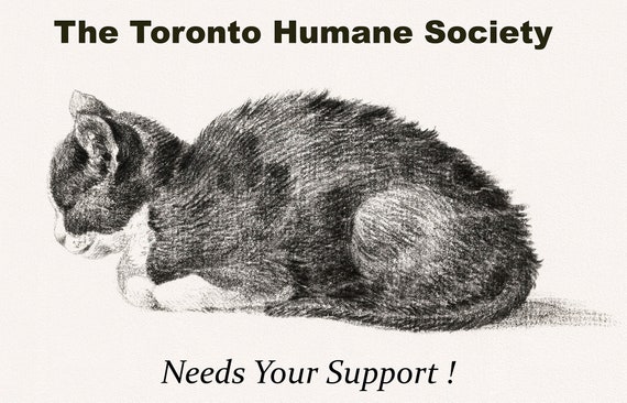 The Toronto Humane Society Needs Your Support, Ver. I , vintage print on canvas, 50 x 70 cm, 20 x 25" approx.
$41.37
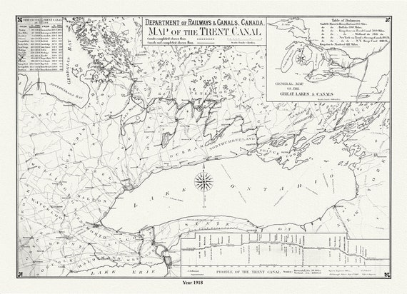 Trent Canal, Ontario, in 1918. It shows uncompleted and completed canals, railroads, and distances between major cities, 20 x 25" approx.
$41.37
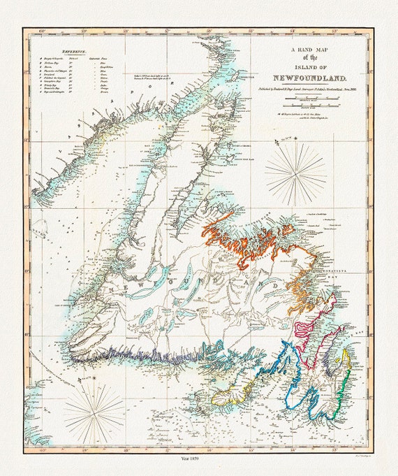 A Hand Map of the Island of Newfoundland, Findlay auth.,1859 , map on heavy cotton canvas, 45 x 65 cm, 18 x 24" approx.
$41.37
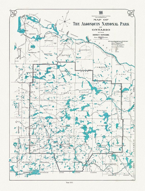 Historic Algonquin Park Map, Lands, Forests & Mines, 1911 , map on heavy cotton canvas, 20 x 25" approx.
$41.37
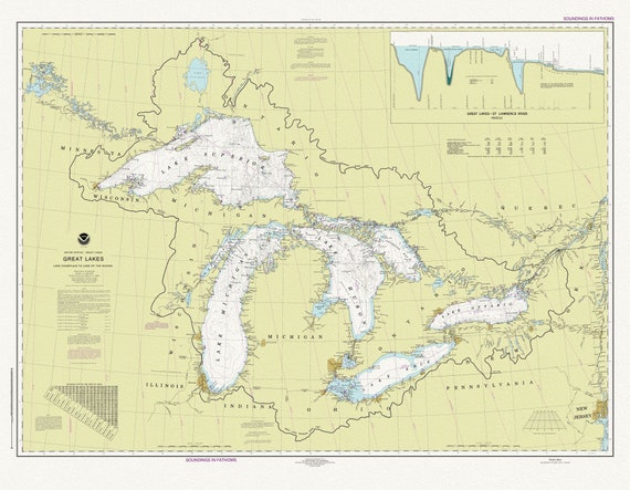 A Nautical Chart of The Great Lakes, 2016 Chart of The Great Lakes, 2016, map on heavy cotton canvas, 50x70cm (20 x 25") approx.
$41.37
 The Toronto Humane Society, Needs Your Support!, Ver. IX, vintage print on canvas, 50 x 70 cm, 20 x 25" approx.
$41.37
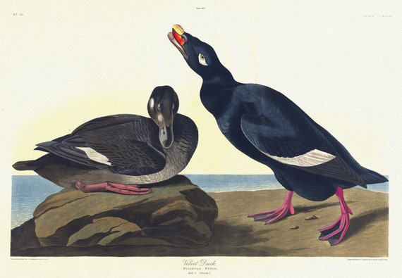 J.J. Audobon, Velvet duck. Fuligula fusca. Male, 1. Female, 2. c.1 v.3 plate 247, 1835
$41.37
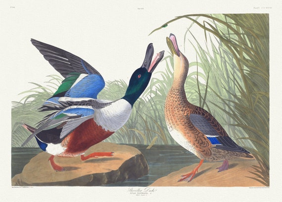 J.J. Audobon, Shoveller duck .Anas clypeata, L. Male, 1. Female, 2. c.1 v.4 plate 327, 1835 , print on canvas, 50 x 70 cm, 20 x 25" approx.
$41.37
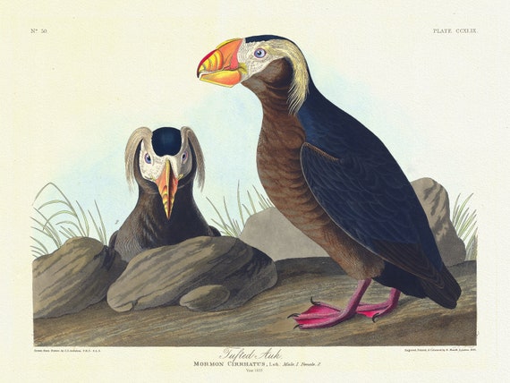 J.J. Audobon, Tufted auk. Mormon cirrhatus, Lath. Male, 1. Female, 2. c.1 v.3 plate 249, 1835 , print on canvas, 20 x 25" approx.
$41.37
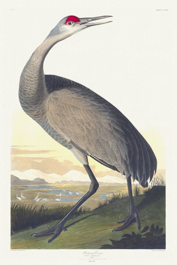 J.J. Audobon, Whooping crane. Grus Americana. Young. v.3 plate 261, 1835 , vintage nature print on canvas, 50 x 70 cm, 20 x 25" approx.
$41.37
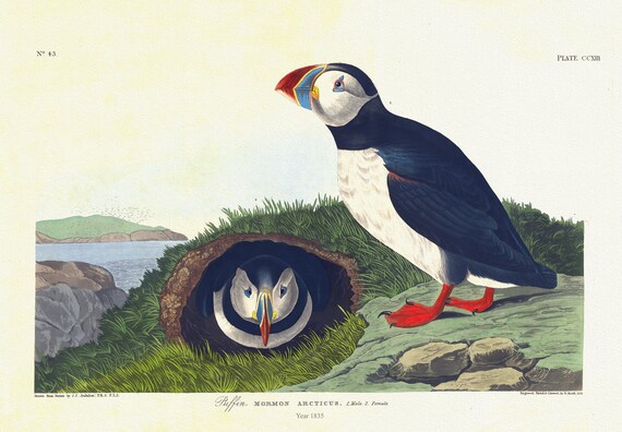 J.J. Audobon, Puffin. Mormon arcticus. 1. Male. 2. Female. c.1 v.3 plate 213, 1835, vintage print on canvas, 50 x 70 cm, 20 x 25" approx.
$41.37