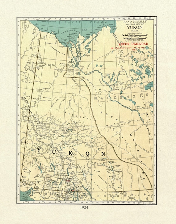
 Yukon, 1924, Map on heavy cotton canvas, 27x22" approx.
$41.48
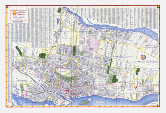 Shell Street Map of Montreal, 1950 , map on heavy cotton canvas, 22x27" approx.
$33.94
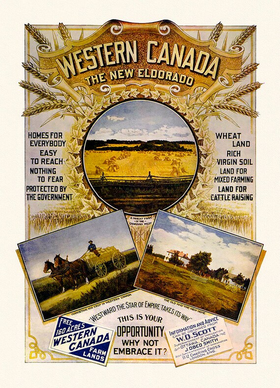 Western Canada, The New Eldorado, vintage poster on heavy cotton canvas, 22x27" approx.
$41.48
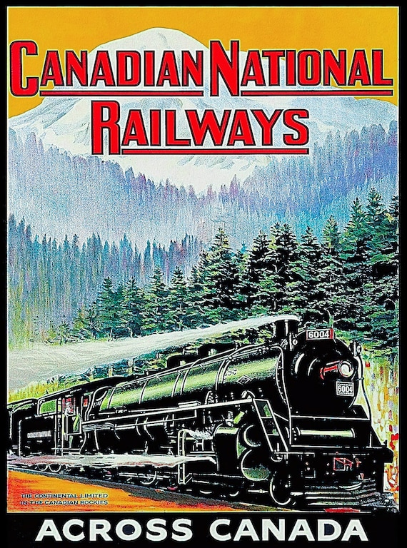 CNR Across Canada, Ver. II , vintage poster on durable cotton canvas, 50 x 70 cm, 20 x 25" approx.
$41.48
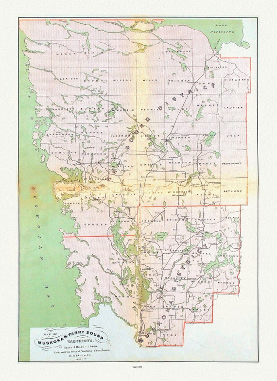 Muskoka & Parry Sound District, 1893 , map on heavy cotton canvas, 20 x 25" approx.
$41.48
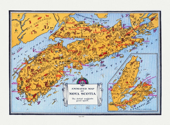 An Animated Map of Nova Scotia, 1929, on heavy cotton canvas, 22x27" approx.
$41.48
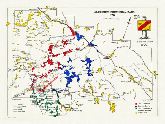 Historic Algonquin Park Map , Highland Inn, 1942, map on heavy cotton canvas, 20 x 25" approx.
$41.48
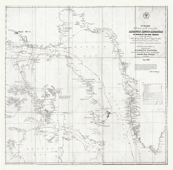 Arctic Expedition in Search of Sir John Franklin, 1850 Ver.2 , map on heavy cotton canvas, 22x27" approx.
$41.48
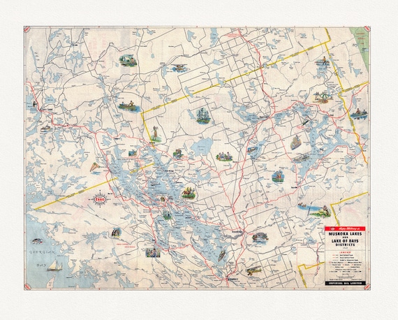 Happy motoring in Muskoka Lakes and Lake of Bays Districts, Ontario, 1949
$41.48
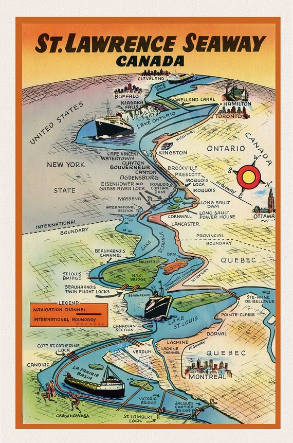 St. Lawrence Seaway Canada , map on durable cotton canvas, 50 x 70 cm, 20 x 25" approx.
$41.48
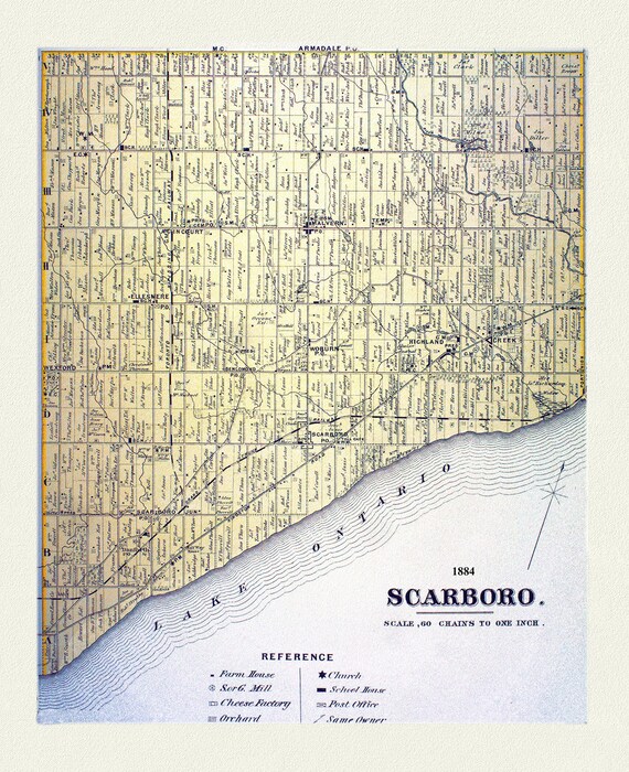 Scarboro, York County Atlas,1884
$41.48
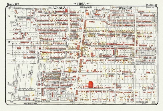 Plate 127, Toronto Uptown, Yonge St. North of Eglinton, 1923, Map on heavy cotton canvas, 18x27in. approx.
$41.48
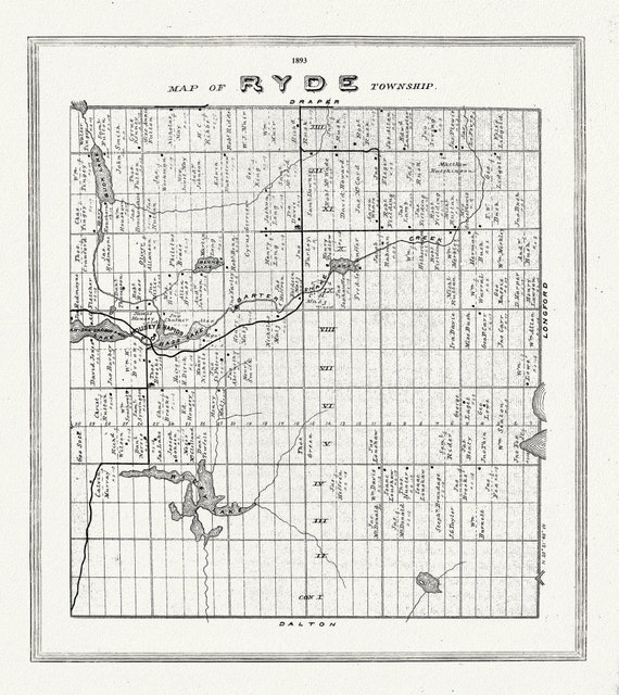 Muskoka-Haliburton, Ryde Township, 1893, map on heavy cotton canvas, 20 x 25" approx.
$41.48
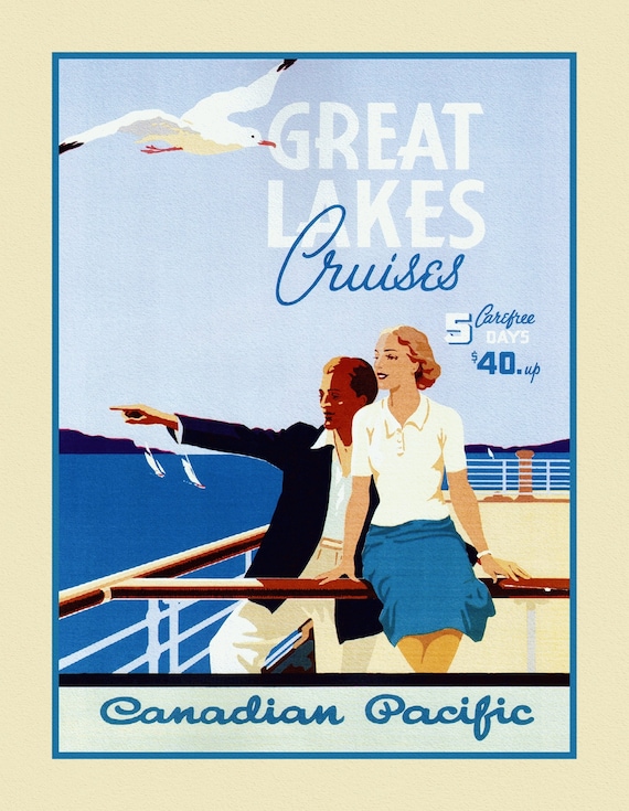 Travel Poster, Canadian Pacific, Great Lakes Cruises, on heavy cotton canvas, 27x22" approx.
$41.48
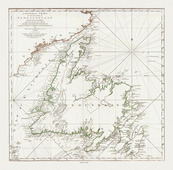 A General Chart Of The Island Of Newfoundland, 1776, Author: Jefferys, on heavy cotton canvas, 20x24" approx.
$37.71
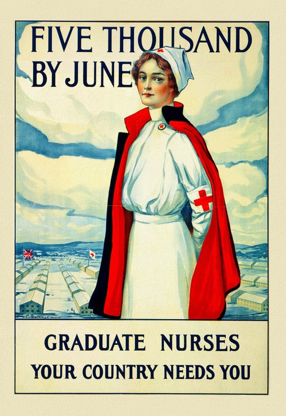 Canada WW I Poster, Five thousand by June Graduate nurses your country needs you, 1915, on heavy cotton canvas, 22x27" approx.
$41.48
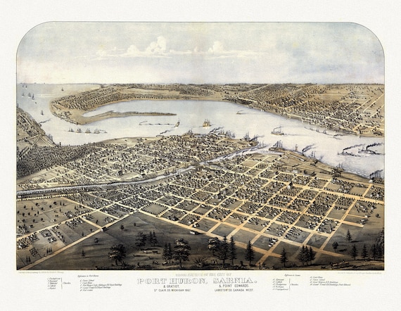 View of the City of Port Huron, Sarnia & Gratiot, Michigan, Point Edwards, Lambton Co., Canada West, 1867, canvas, 22x27"
$41.48
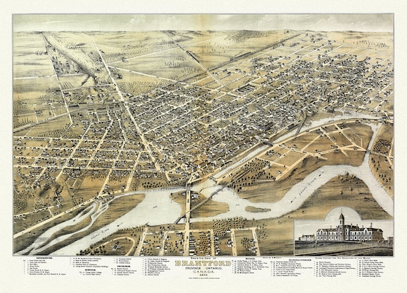 Bird's eye view of Brantford, Province of Ontario, Canada, 1875, map on heavy cotton canvas, 22x27" approx.
$41.48
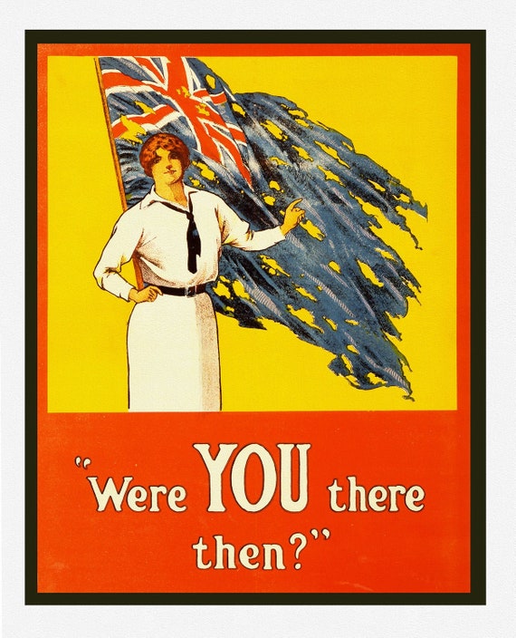 Were YOU there then?, 1916, WW I Poster on heavy cotton canvas, 22x27" approx.
$41.48
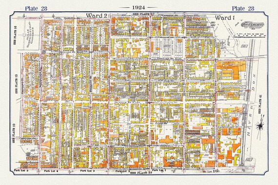 Plate 07, Toronto Downtown East, Cabbagetown, 1924, map on heavy cotton canvas, 20 x 30" or 50 x 75cm. approx.
$41.48