
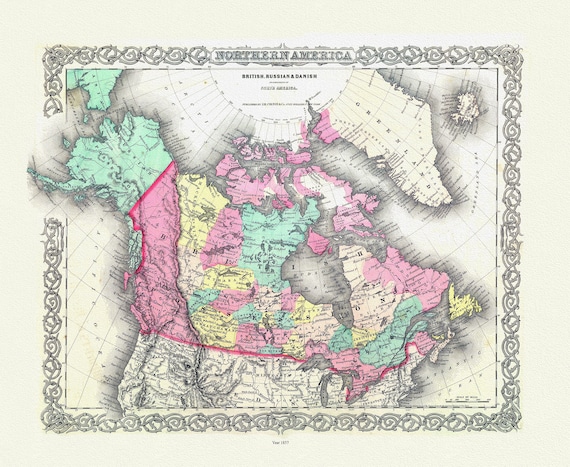
 Northern America. 1857, map on heavy cotton canvas, 20 x 25" approx.
$39.99
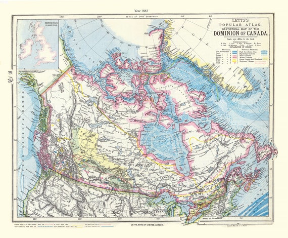 Letts, Dominion of Canada, 1883, map on heavy cotton canvas, 20 x 25" approx.
$39.99
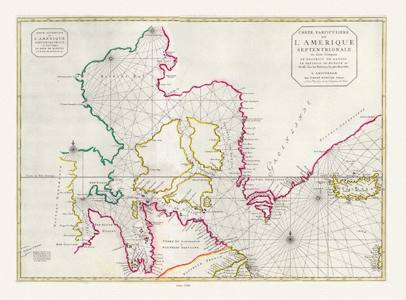 Jaillot, Mortier et Sanson, Carte Particuliere de l'Amerique Septentrionale, 1708, map on heavy cotton canvas, 20 x 25" approx.
$39.99
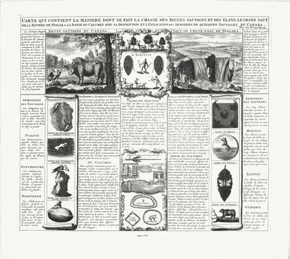 Carte qui contient la maniere dont se fait la chasse des boeufs sauvages, 1719
$39.99
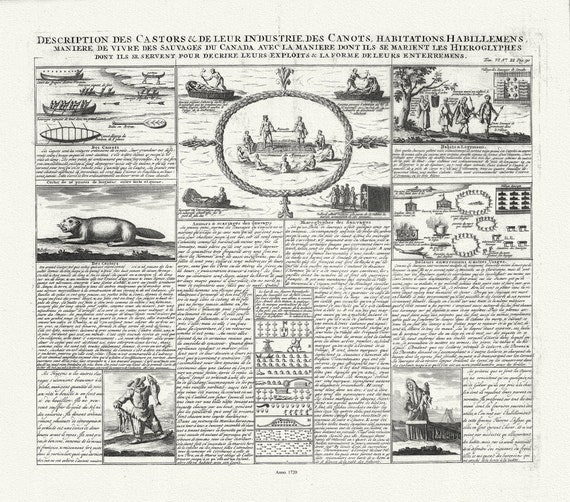 Description des Castors & de Leur Industrie de Canots Habitations Habillemens, 1720, on heavy cotton canvas, 20 x 25" approx.
$39.99
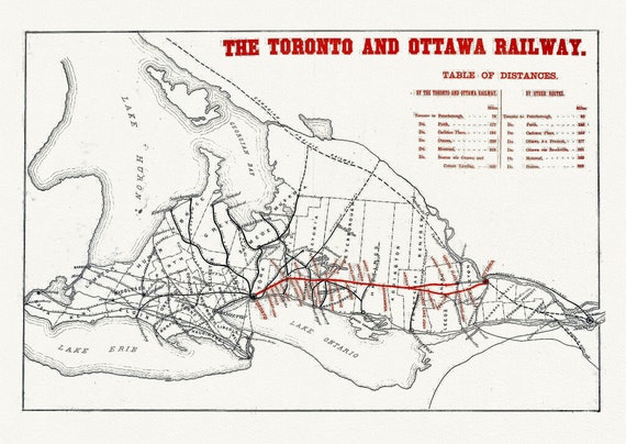 The Toronto and Ottawa Railway, Ontario, map on durable cotton canvas, 50 x 70 cm or 20x25" approx.
$39.99
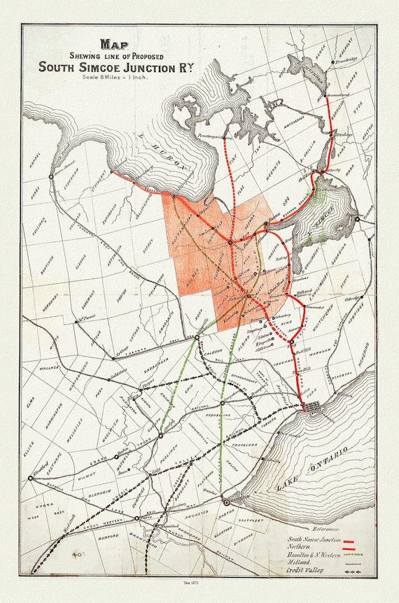 Map shewing line of proposed South Simcoe Junction Railway, Ontario, 1873, map on durable cotton canvas, 50 x 70 cm or 20x25" approx.
$39.99
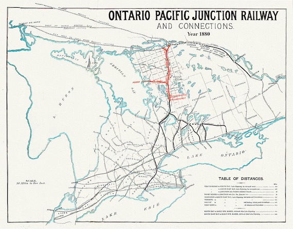 Ontario Pacific Junction Railway and connections, 1880, map on durable cotton canvas, 50 x 70 cm or 20x25" approx.
$39.99
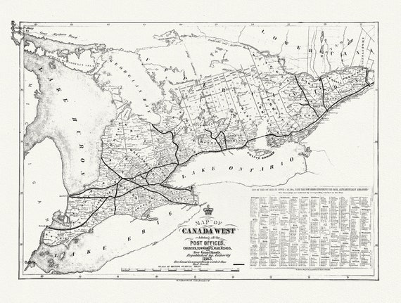 Canada West, Post Offices, Towns, Railroads, 1863, railroad map on durable cotton canvas, 50 x 70 cm or 20x25" approx.
$39.99
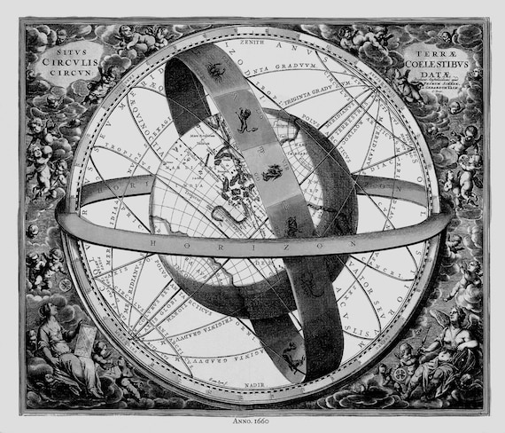 Cellarius, Harmoni Macrocosmica XI, 1660 Ver.III BW, celestial map on durable cotton canvas, 50 x 70 cm or 20x25" approx
$39.99
 Cellarius, Harmoni Macrocosmica XII, 1660, celestial map on durable cotton canvas, 50 x 70 cm or 20x25" approx.
$39.99
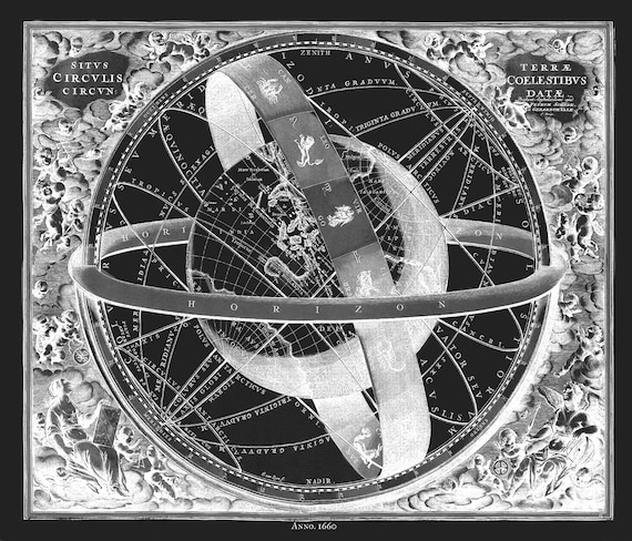 Cellarius, Harmoni Macrocosmica XI, 1660 Ver. III-INV, celestial map on durable cotton canvas, 50 x 70 cm or 20x25" approx.
$39.99
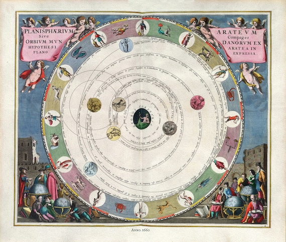 Cellarius, Harmoni Macrocosmica VIII, 1660, celestial map on durable cotton canvas, 50 x 70 cm or 20x25" approx.
$39.99
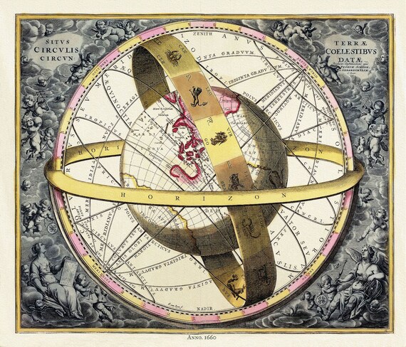 Cellarius, Harmoni Macrocosmica XI, 1660 , celestial map on durable cotton canvas, 50 x 70 cm or 20x25" approx.
$39.99
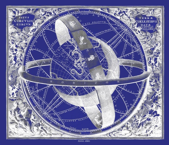 Cellarius, Harmoni Macrocosmica XI, 1660 Cyanotype, celestial map on durable cotton canvas, 50 x 70 cm or 20x25" approx.
$39.99
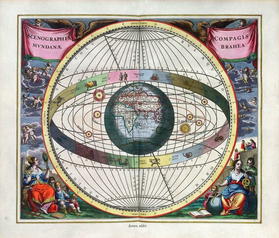 Cellarius, Harmoni Macrocosmica VII, 1660, celestial map on durable cotton canvas, 50 x 70 cm or 20x25" approx.
$39.99
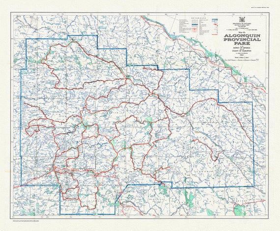 Historic Algonquin Park Map 47A, 1960 , map on heavy cotton canvas, 20 x 25" approx.
$43.63
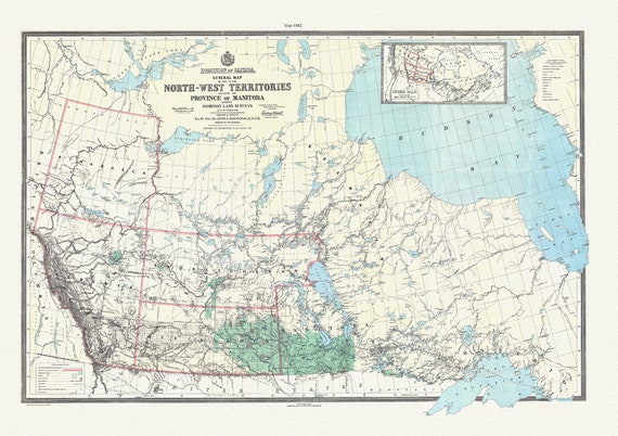 General map of part of the North-West Territories including the province of Manitoba shewing Dominion land surveys to 1882, 20 x 25" approx.
$39.99
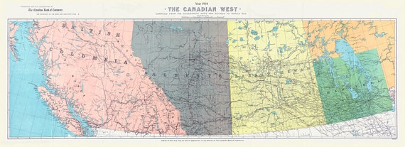 The Canadian west, 1910, map on durable cotton canvas,21x40"" approx.
$94.52
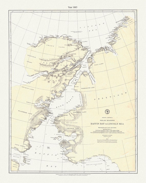 Polar Regions, Baffin Bay to Lincoln Sea, 1885 , map on durable cotton canvas, 50 x 70 cm, 20 x 25" approx.
$39.99