
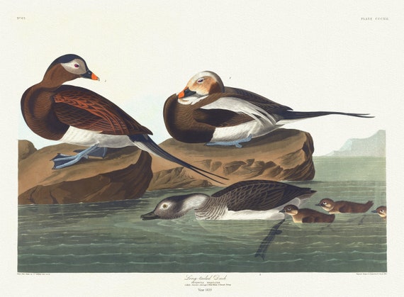
 J.J. Audubon, , Long-tailed duck. Fuligula glacialis. 1. Male. 2. Male winter. 3. Female young, 1835, canvas, 50 x 70 cm, 20 x 25" approx.
$41.44
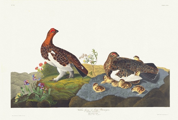 J.J. Audubon, Willow grous or large ptarmigan. Tetrao saliceti, Temm. Male, 1. Female, 1835, print on canvas, 50 x 70 cm, 20 x 25" approx.
$41.44
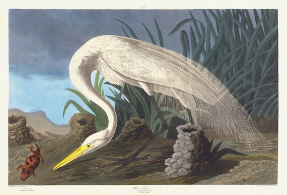 J.J. Audubon, White heron. Ardea alba, Linn, spring plumage, 1835, vintage nature print on canvas, 50 x 70 cm, 20 x 25" approx.
$41.44
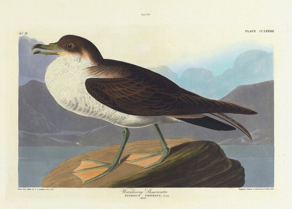 J.J. Audubon, Wandering shearwater. Puffinus cinereus. Bonap, 1835 , vintage nature print on canvas, 50 x 70 cm, 20 x 25" approx.
$41.44
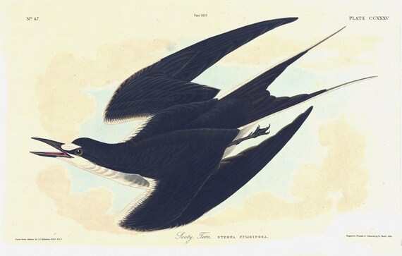 J.J. Audubon, Sooty tern. Sterna fuliginosa, 1835, vintage nature print on canvas, 50 x 70 cm, 20 x 25" approx.
$41.44
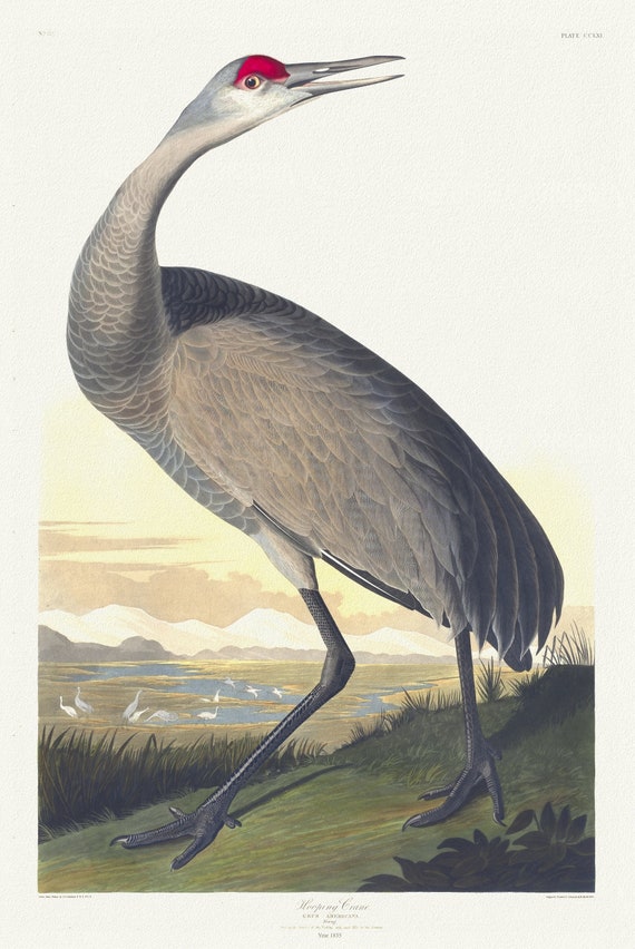 J.J. Audubon, Whooping crane. Grus Americana. Young ,1835, vintage nature print on canvas, 50 x 70 cm, 20 x 25" approx.
$41.44
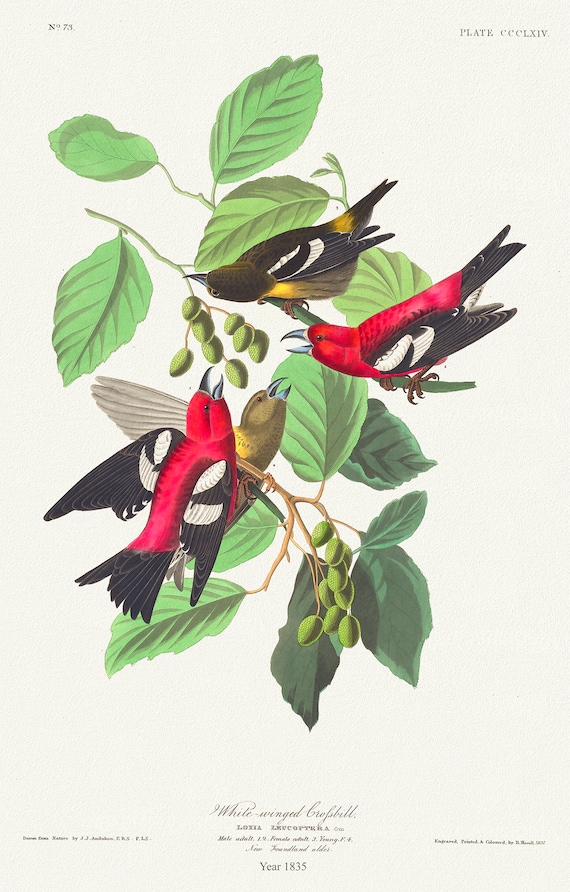 J.J. Audubon, White-Winged Crossbill.Loxia leucoptera, 1835, bird print on durable cotton canvas, 19x27inches(50x70cm) approx.
$41.44
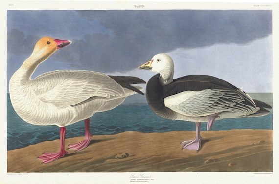 J.J. Audubon, Snow geese. Anser hyperboreus, Pallas. Adult male, 1. Young female, 1835, print on canvas, 50 x 70 cm, 20 x 25" approx.
$41.44
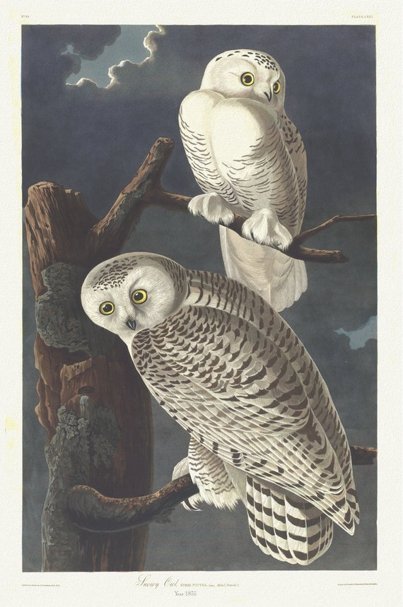 J.J. Audubon, Snowy owl. Strix nyctea, Linn. Male, 1, female, 2, 1835 , vintage nature print on canvas, 50 x 70 cm, 20 x 25" approx.
$41.44
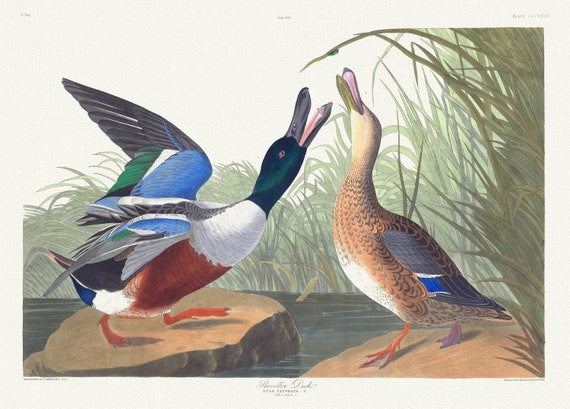 J.J. Audubon, Shoveller duck .Anas clypeata, L. Male, 1. Female, 2, 1835 , vintage nature print on canvas, 50 x 70 cm, 20 x 25" approx.
$41.44
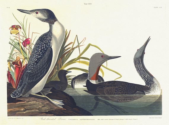 J.J. Audubon, Red-throated diver.Colymbus septentrionalis. Male adult summer plumage, 2. Adult female, 3. Young, 1835, 20 x 25" approx.
$41.44
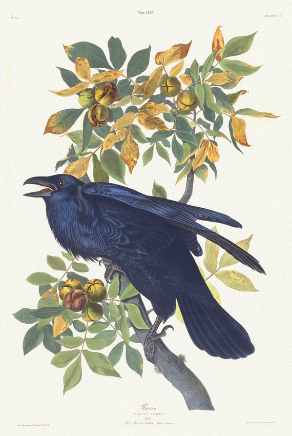 J.J. Audubon, Raven .Corvus corax. Male.. Juglans lacinosa, 1835 , vintage nature print on canvas, 50 x 70 cm, 20 x 25" approx.
$41.44
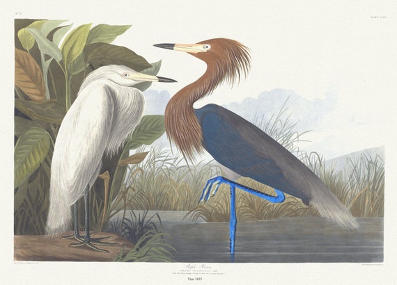 J.J. Audubon, Purple heron. Ardea rufescens, Buff. Adult full spring plumage, 1. Young , 1835, on canvas, 50 x 70 cm, 20 x 25" approx.
$41.44
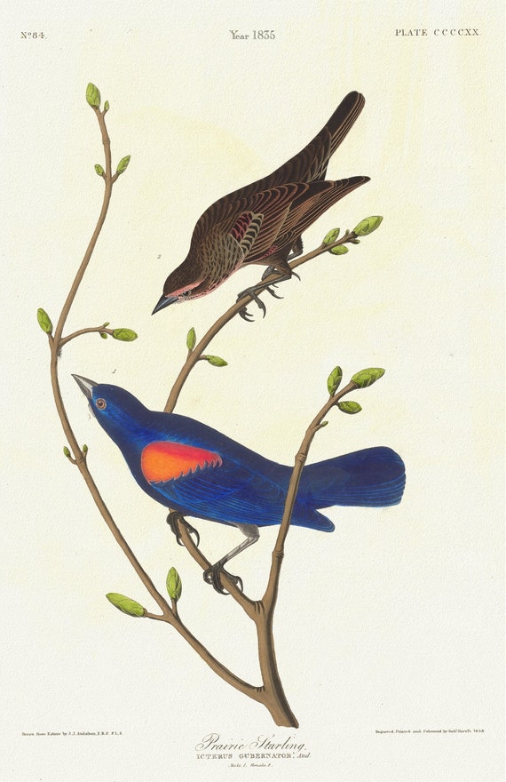 J.J. Audubon, Prairie starling. Icterus gubernator, Aud. Male, 1. Female, 2., 1835 , print on canvas, 50 x 70 cm, 20 x 25" approx.
$41.44
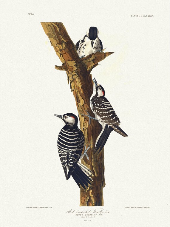 J.J. Audubon, Red-cockaded woodpecker Picus querulus, Wils. Males, 1. Female, 2, 1835, print on canvas, 50 x 70 cm, 20 x 25" approx.
$41.44
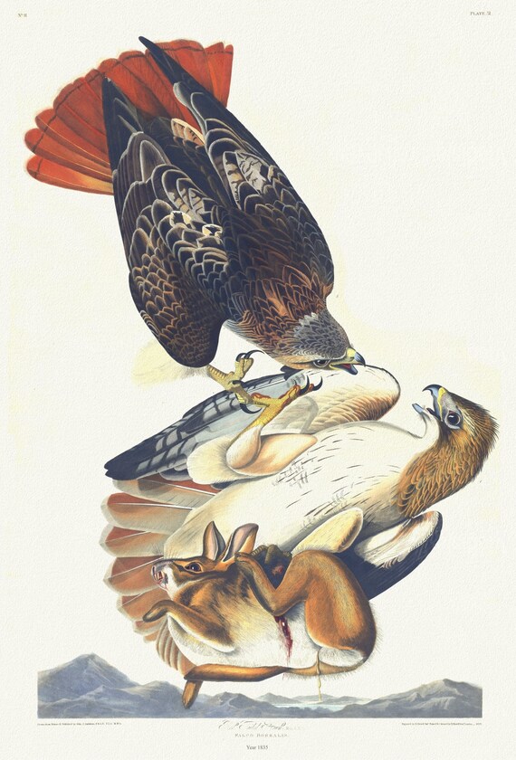 J.J. Audubon, Red tailed hawk. Male, 1. F, 2. Falco borealis, 1835, vintage nature print on canvas, 50 x 70 cm, 20 x 25" approx.
$41.44
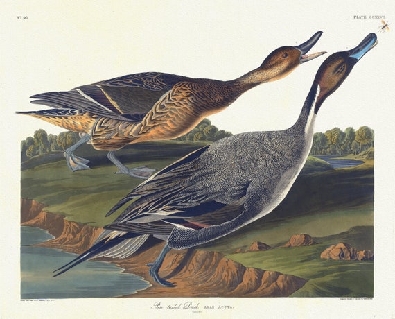 J.J. Audubon, Pin tailed duck. Anas acuta,1835, vintage nature print on canvas, 50 x 70 cm, 20 x 25" approx.
$41.44
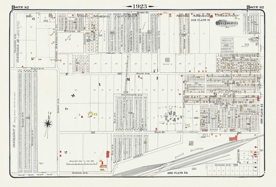 Plate 82, Toronto West, Mimico, 1923, Map on heavy cotton canvas, 18x27in. approx.
$41.44
 The Toronto Humane Society, Help Us Grow!, Ver. VIII , vintage print on canvas, 50 x 70 cm, 20 x 25" approx.
$41.44
 The Toronto Humane Society Needs Your Support, Ver. I , vintage print on canvas, 50 x 70 cm, 20 x 25" approx.
$41.44