
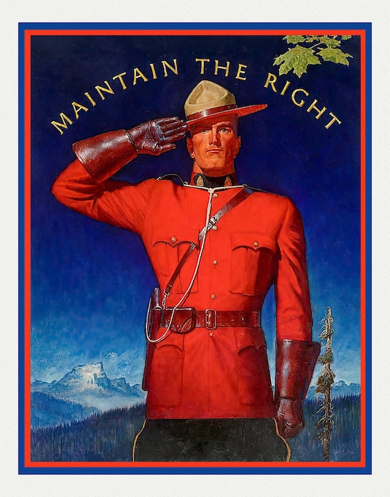
 RCMP, Maintain the Right! Ver. I, vintage poster on heavy cotton canvas, 50 x 70 cm, 20 x 25" approx.
$40.28
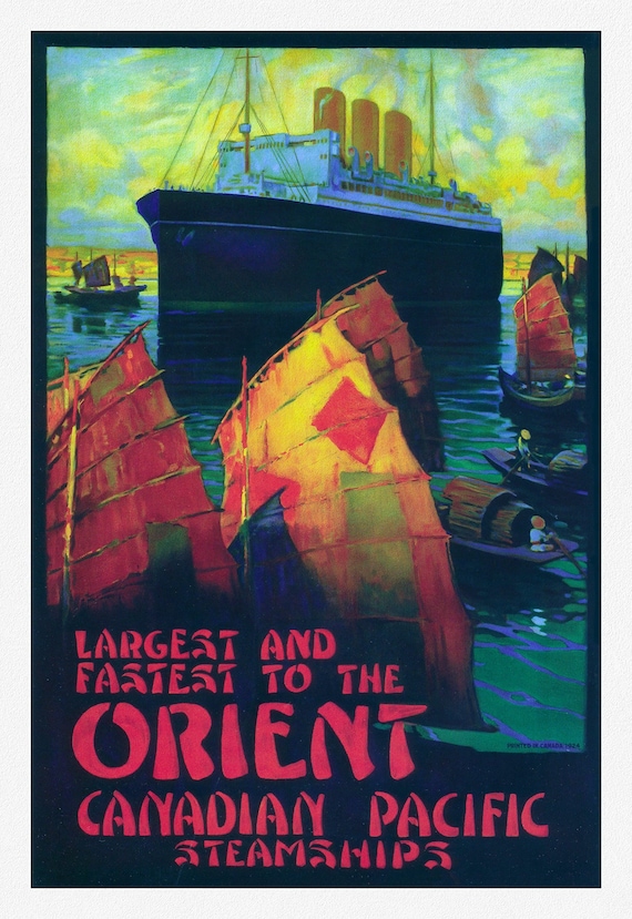 Canadian Pacific, Largest and Fastest to the Orient, 1924, travel poster reprinted on durable cotton canvas, 50 x 70 cm, 20 x 25" approx.
$40.28
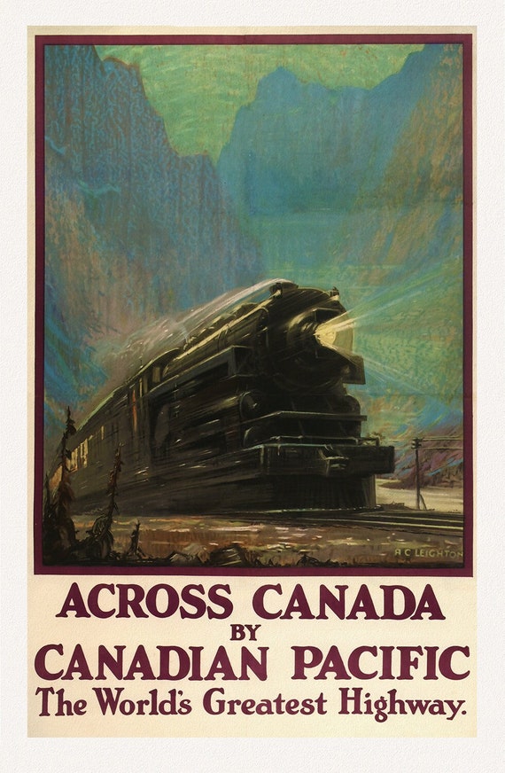 Across Canada, with Canadian Pacific, 1930, travel poster on heavy cotton canvas, 50 x 70 cm, 20 x 25" approx.
$40.28
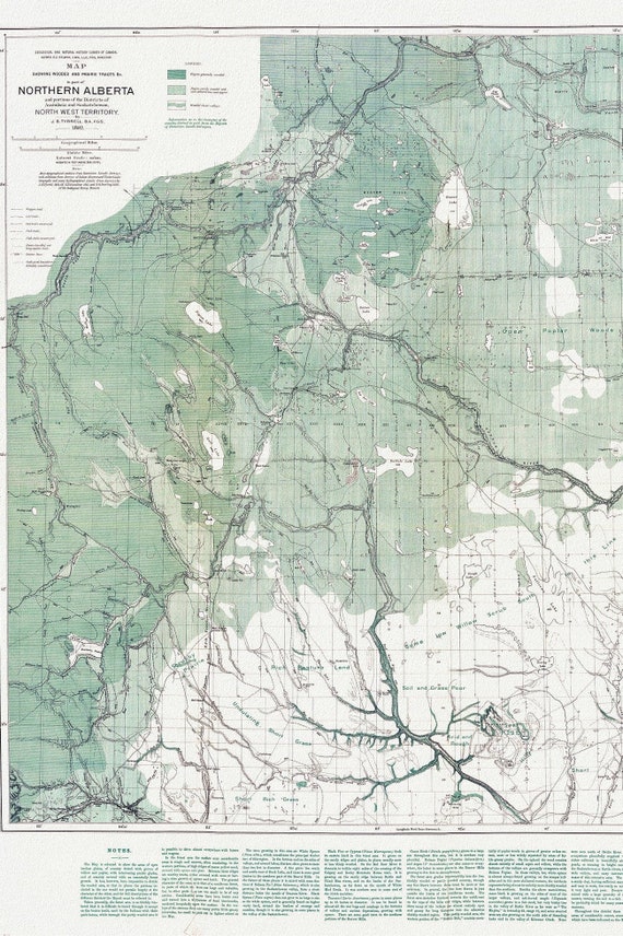 Northern Alberta, Map showing wooded and prairie tracts, etc.,by J.B. Tyrrell, 1884 , map on heavy cotton canvas, 20x27" approx.
$40.28
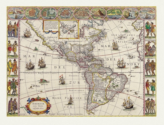 America with those known parts in that unknowne worlde both people and manner of buildings, 1662, map on heavy cotton canvas, 22x27" approx.
$40.28
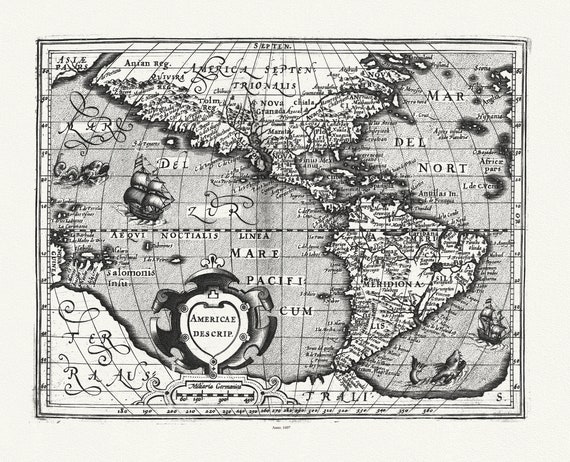 Mercator et Hondius, Americae descrip., 1607, map on heavy cotton canvas, 22x27" approx.
$40.28
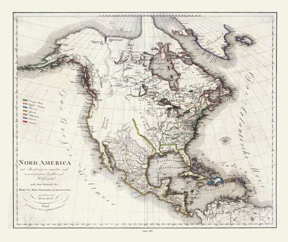 Liechtenstern et Hartl, Nord America, 1805 , map on heavy cotton canvas, 22x27" approx.
$40.28
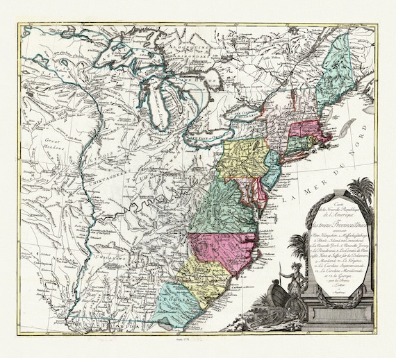 Lotter, Carte de la nouvelle république de lʾAmérique ou les treize Provinces Unies, 1778, map on heavy cotton canvas, 22x27" approx.
$40.28
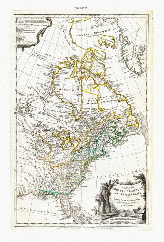 Jefferys, A Map of The British Empire in North America, 1776 , map on heavy cotton canvas, 22x27" approx.
$40.28
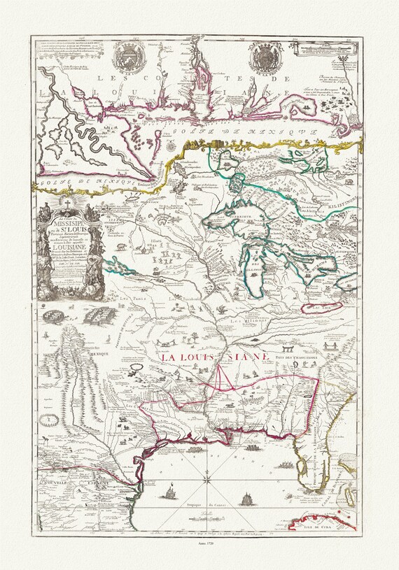 Le cours de Missisipi, ou de St. Louis (with) Partie meridionale de la Riviere de Missisipi, 1720, map on heavy cotton canvas, 22x27" approx
$40.28
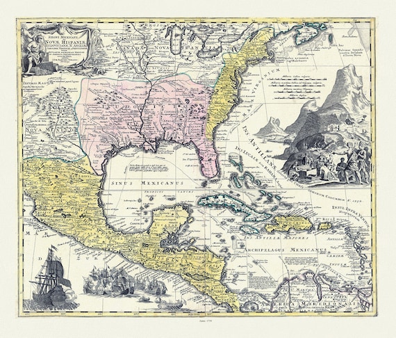 Homann, Regni Mexicani in America Septentrionali, 1759 , map on heavy cotton canvas, 25x27" approx.
$47.60
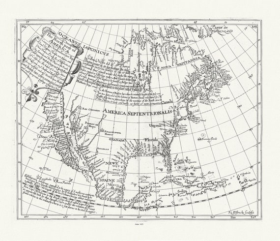 Briggs, North America, 1625 , map on heavy cotton canvas, 22x27" approx.
$40.28
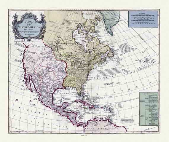 Bowles et Delarochette, A map of North America, 1765, map on heavy cotton canvas, 22x27" approx
$40.28
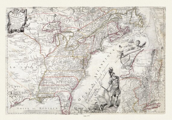 Carte de l'Amérique Septle. pour servir à l'intelligence de la guerre entre les Anglois et les insurgents, 1777, canvas 25x27" approx.
$47.60
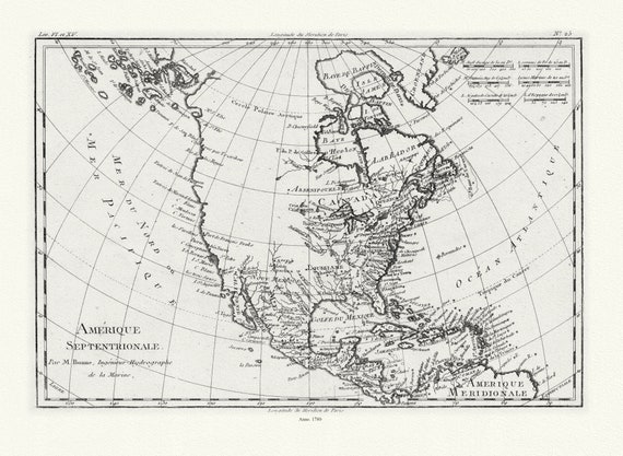 Bonne, Amérique septentrionale, 1780
$40.28
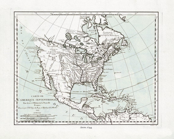 Bellin, Carte de L'Amerique Septentrionale, 1744 Ver. II , map on heavy cotton canvas, 22x27" approx.
$40.28
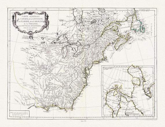 Carte générale du Canada, de la Louisiane, de la Floride, de la Caroline, de la Virginie, de la Nouvelle Angleterre, 1776, 25x27" approx.
$47.60
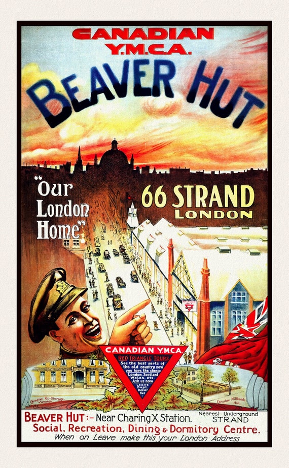 Beaver Hut, Canadian YMCA in London, on durable cotton canvas, 50 x 70 cm, 20 x 25" approx.
$40.28
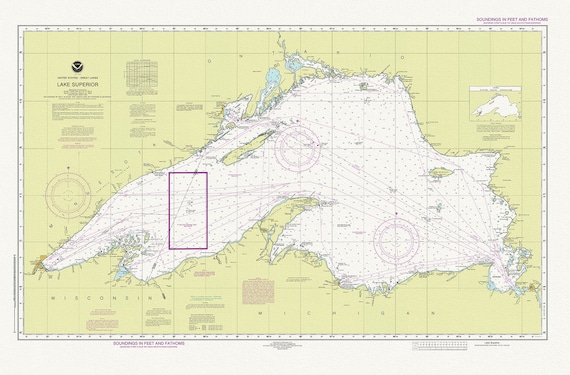 Nautical Chart of Lake Superior, 2016, map on heavy cotton canvas, 50 x 70 cm or 20x25" approx.
$40.28
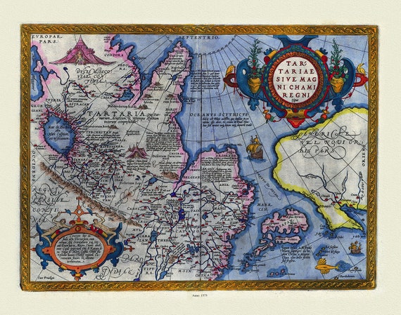 Ortelius, ( Abraham 1527-1598), Tartariae sive Magni Chami Regni tÿpus, 1575, Map printed on to heavy cotton canvas, 22x27in. approx.
$40.28