
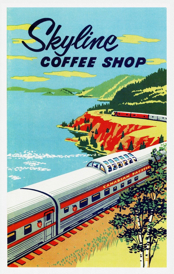
 Skyline Coffee Shop, Canadian Pacific Railways, on heavy cotton canvas, 22x27" approx.
$40.85
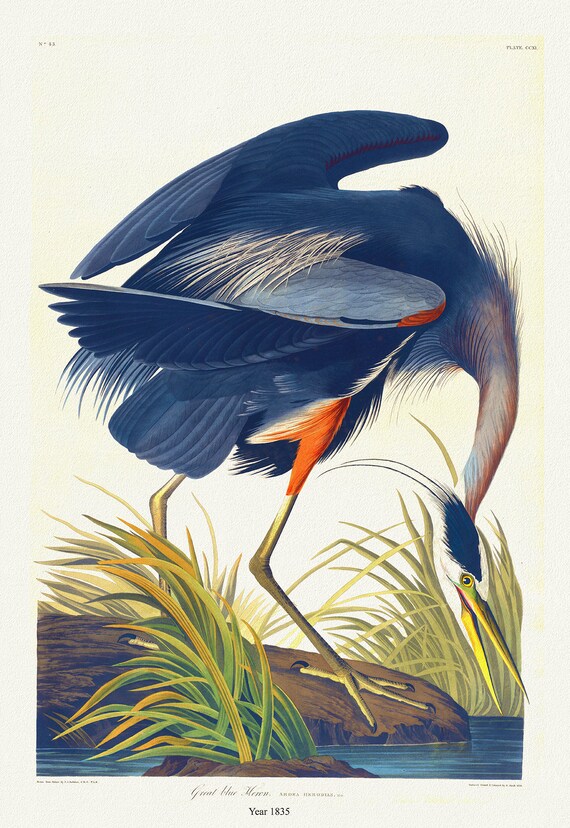 J.J. Audobon, Great Blue Heron. Ardea herodias. 1835, bird print on durable cotton canvas, 19x27inches(50x70cm) approx.
$40.85
 Plate 30, Toronto East, Waterfront, Riverdale South, 1923, Map on heavy cotton canvas, 18x27in. approx.
$40.85
 Plate 28, Toronto Downtown East, Cabaggetown, 1923, Map on heavy cotton canvas, 18x27in. approx.
$40.85
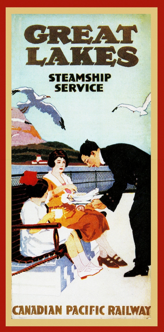 Great Lakes Steamship Service, Canadian Pacific Railway , map on heavy cotton canvas, 22x27" approx
$40.85
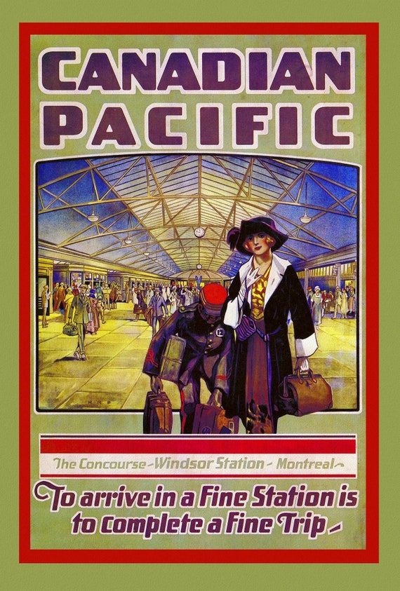 Canadian Pacific, Montreal, 1923, on heavy cotton canvas, 22x27" approx.
$40.85
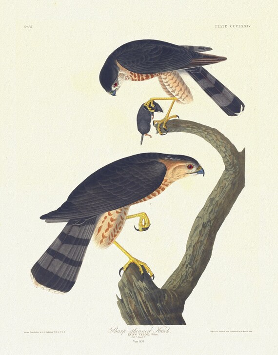 J.J. Audubon, Sharp-skinned hawk. Falco velox, Wilson. Male, 1. Female, 2, 1835 ,nature print on canvas, 50 x 70 cm, 20 x 25" approx.
$40.85
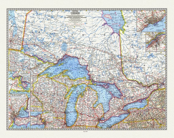 Central Canada, National Geographic, 1963, map on durable cotton canvas, 50 x 70 cm, 20 x 25" approx.
$40.85
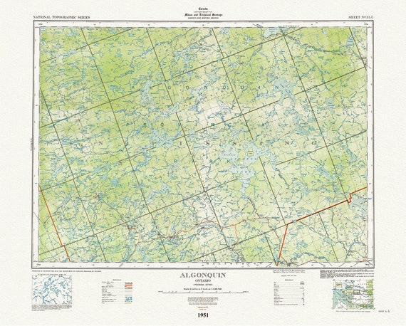 Historic Algonquin Park Map, National Topographic Series, Algonquin, 1951 , map on heavy cotton canvas, 45 x 65 cm, 18 x 24" approx.
$40.85
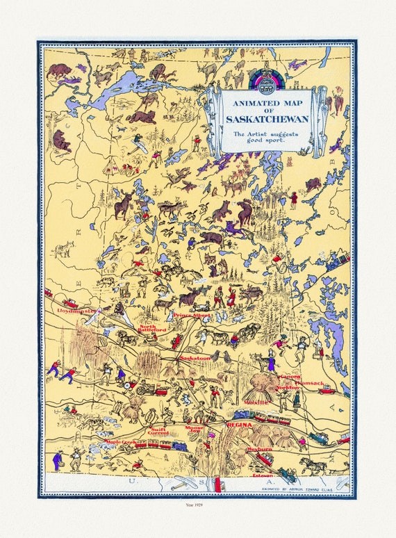 An Animated Map of Saskatchewan, 1929, on heavy cotton canvas, 22x27" approx.
$40.85
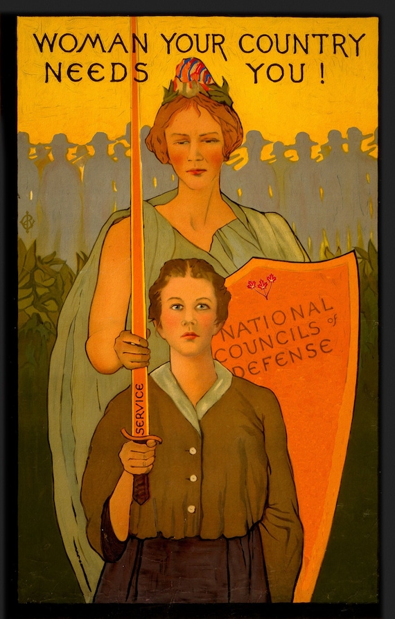 Woman your country needs you!, Canada WW I Poster,1 917 Ver. 5, on heavy cotton canvas, 27x22" approx.
$40.85
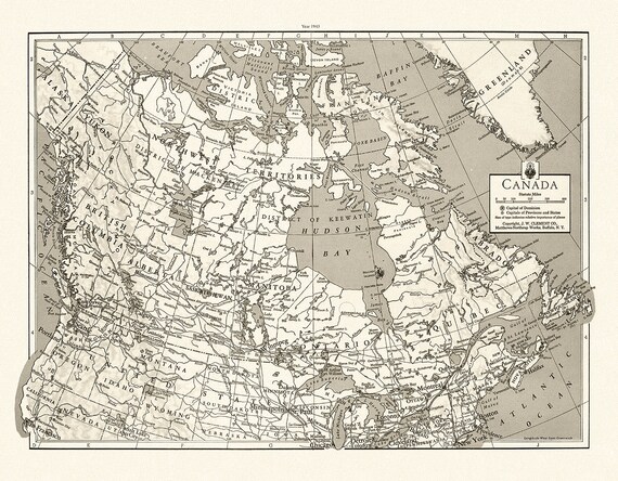 J.W. Clement Co., Canada, 1943 Ver. BWMWS70, map on heavy cotton canvas, 20 x 25" approx.
$40.85
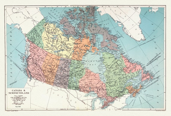 Geographia Map Company, Canada and Newfoundland, 1935 , map on heavy cotton canvas, 20 x 25" approx.
$40.85
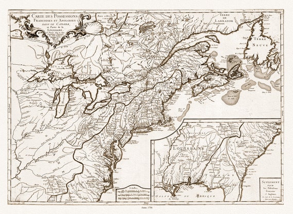 Longchamps et Thevenard, Carte des possessions françoises et angloises , et partie de la Louisiane, 1756 Ver. D, on canvas, 20x25"
$40.85
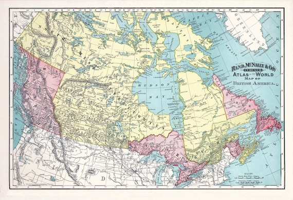 Rand, McNally & Co., British America (Canada), 1892, , map on heavy cotton canvas, 20 x 25" approx.
$40.85
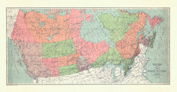 Map of the Dominion of Canada, 1900, on heavy cotton canvas, 20 x 25" approx.
$40.85
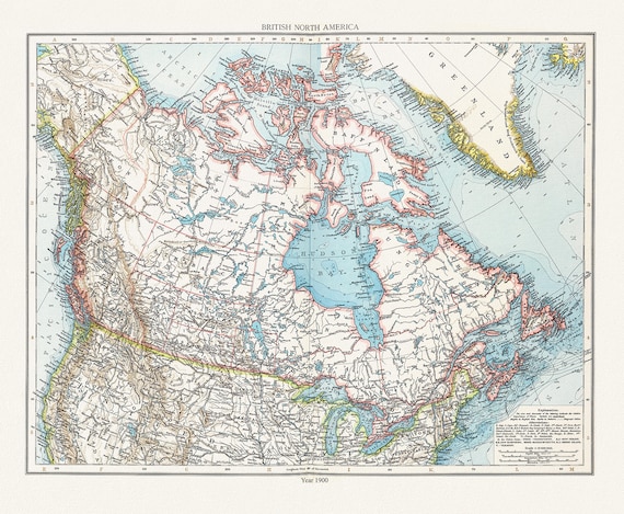 Andree et London Times, British North America, 1900 , map on heavy cotton canvas, 20 x 25" approx.
$40.85
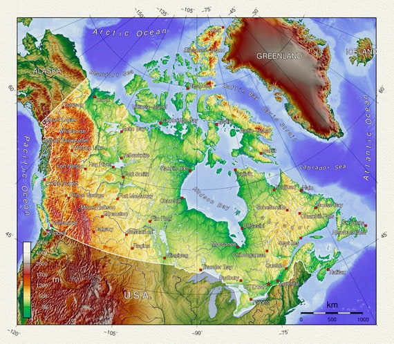 Topographical Map of Canada, on heavy cotton canvas, 20 x 25" approx.
$40.85
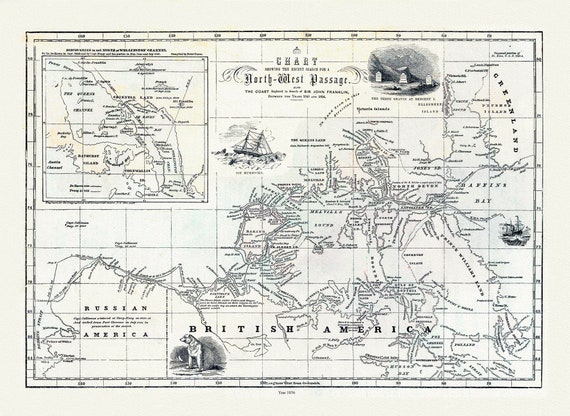 Morse et Colby, Chart Showing the Recent Search for the North-West Passage, 1856 , map on heavy cotton canvas, 22x27" approx.
$40.85
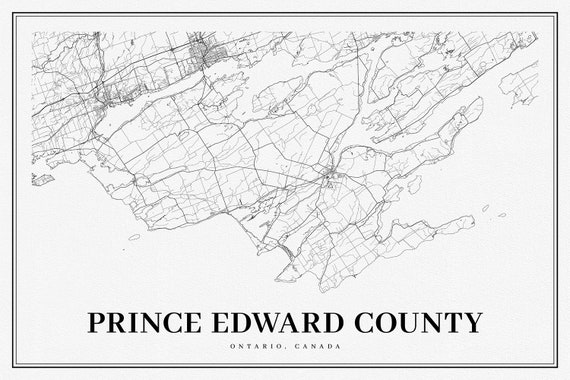 Ontario, Prince Edward County, A Modern Map, map on heavy cotton canvas, 50 x 70cm, 20 x 25" approx.
$40.85