
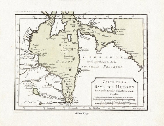
 Carte de la Bye de Hudson, Bellin auth., 1744, map on heavy cotton canvas, 50 x 70 cm, 20 x 25" approx.
$41.44
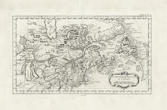 La Nouvelle France où Canada, ,Bellin, 1764 Ver. II, vintage map reprinted on durable cotton canvas, 50 x 70 cm, 20 x 25" approx.
$41.44
 Sketch of North America shewing the proposed route of Capt. Back, 1833, map on heavy cotton canvas, 50 x 70 cm, 20 x 25" approx.
$41.44
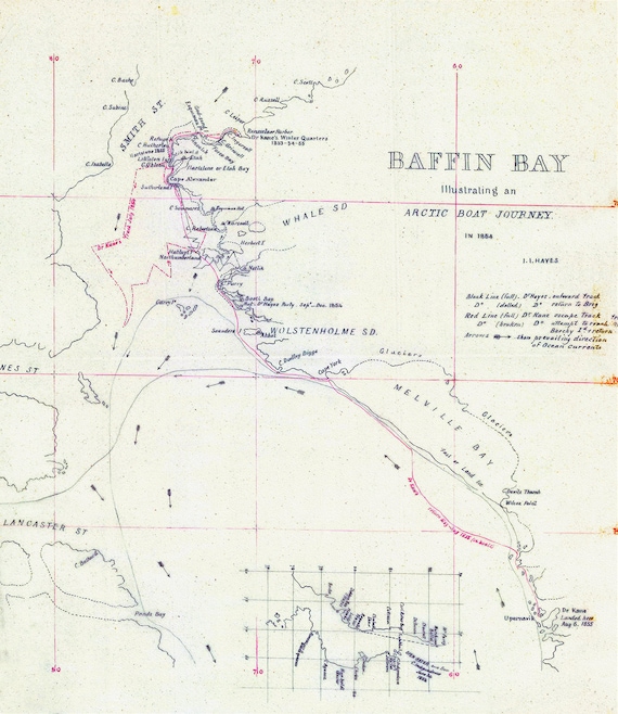 Kane et Hayes, Baffin Bay Journey, A Manuscript, 1855, map on heavy cotton canvas, 50 x 70 cm, 20 x 25" approx.
$41.44
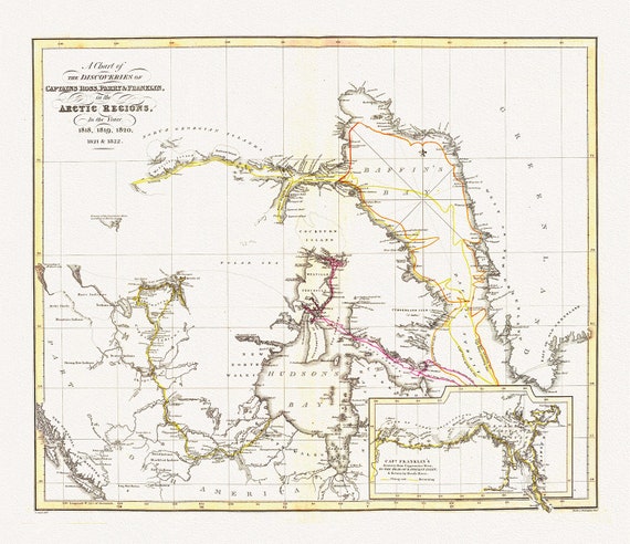 The Discoveries in the Arctic Regions by Ross et Franklin, 1818-1822, map on heavy cotton canvas, 50 x 70 cm, 20 x 25" approx.
$41.44
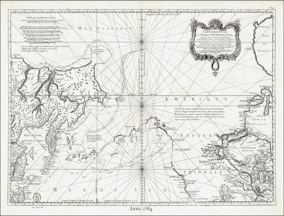 Jacques Nicolas Bellin, Canada, Pacific North West, 1764
$41.44
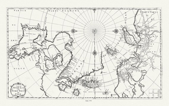 Carte du nord est & du nord west du Pole, 1735, Bernard auth., map on heavy cotton canvas, 50 x 70 cm, 20 x 25" approx.
$41.44
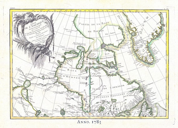 Canada North, Rigobert Bonne auth., 1783, map on heavy cotton canvas, 50 x 70 cm, 20 x 25" approx.
$41.44
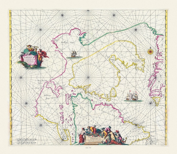 Septemtrionaliora Americae a Groenlandia, per Davidis et Hudson, Witt auth., 1765, map on heavy cotton canvas, 50 x 70 cm, 20 x 25" approx.
$41.44
 Bellin, Carte de la Bye de Hudson, 1744 Ver. II, map on heavy cotton canvas, 50 x 70 cm, 20 x 25" approx.
$41.44
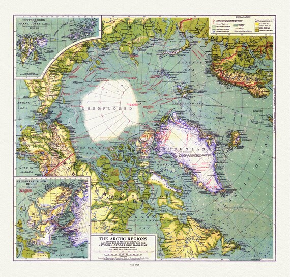 Arctic Regions, National Geographic, 1925, map on heavy cotton canvas, 50 x 70 cm, 20 x 25" approx.
$41.44
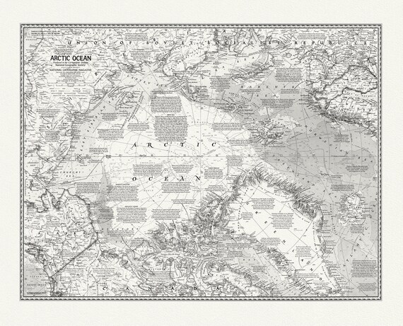 Arctic Ocean, National Geographic, 1971, map on heavy cotton canvas, 50 x 70 cm, 20 x 25" approx.
$41.44
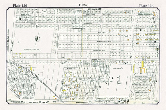 Plate 126, Toronto North and West, Old Hunt Club at Bathurst, 1924, map on heavy cotton canvas, 20 x 30" or 50 x 75cm. approx.
$41.44
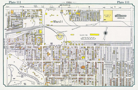 Plate 111, Toronto East, The Danforth, Main to Victoria Park, 1924, map on heavy cotton canvas, 20 x 30" or 50 x 75cm. approx.
$41.44
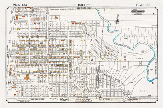 Plate 133, Toronto Uptown, Lawrence Park, 1924, map on heavy cotton canvas, 20 x 30" or 50 x 75cm. approx.
$41.44
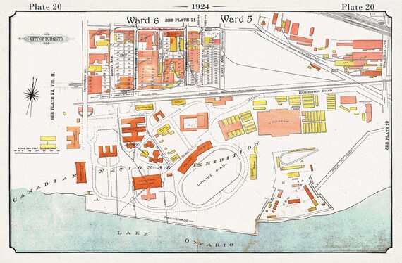 Plate 20, Toronto Downtown Harbour Lands West to Canadian National Exhibition Grounds, 1924, map on heavy cotton canvas, 20 x 30" approx.
$41.44
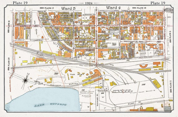 Plate 19, Toronto Downtown Harbour Lands West to Bathurst St., 1924, map on heavy cotton canvas, 20 x 30" or 50 x 75cm. approx.
$41.44
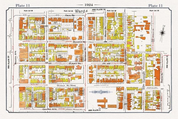 Plate 11, Toronto Downtown West, Art Gallery of Ontario, 1924, map on heavy cotton canvas, 20 x 30" or 50 x 75cm. approx.
$41.44
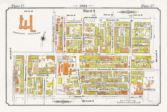 Plate 17, Toronto West, Parkdale-Trintity, 1924, map on heavy cotton canvas, 20 x 30" or 50 x 75cm. approx.
$41.44
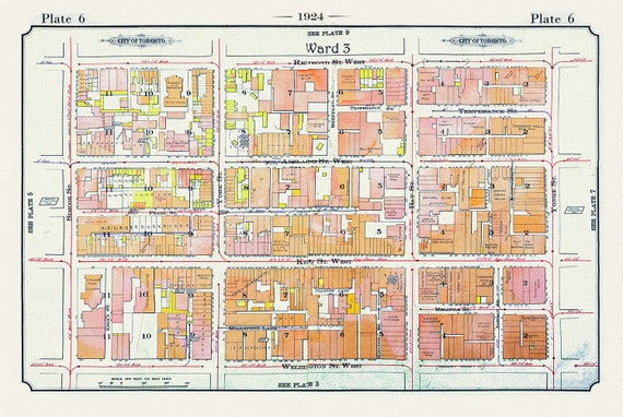 Plate 06, Toronto Downtown West, Simcoe St., 1924
$41.44