
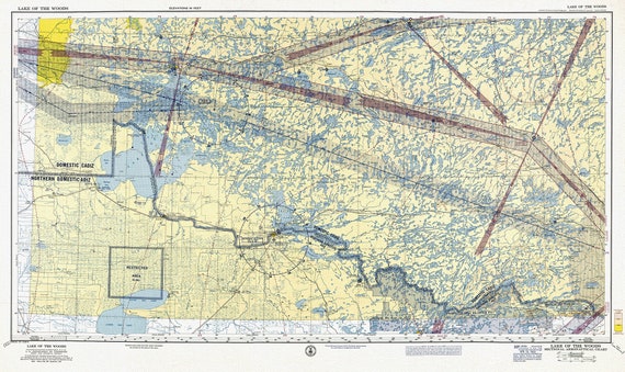
 Aeronautical Chart, Ontario, Lake of the Woods Section, 1960 , map on heavy cotton canvas, 20 x 27" approx.
$41.48
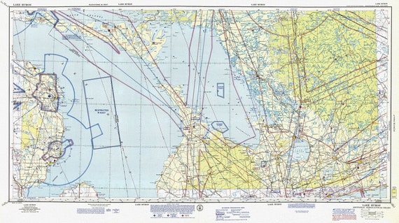 Aeronautical Chart, Ontario, Lake Huron Section, 1970, map on heavy cotton canvas, 20 x 27" approx.
$41.48
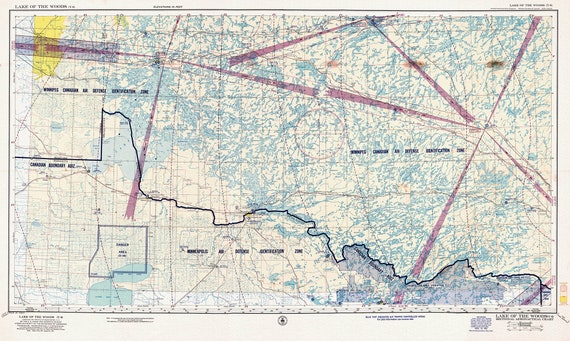 Aeronautical Chart, Ontario, Lake of the Woods Section, 1952, map on heavy cotton canvas, 20 x 27" approx.
$41.48
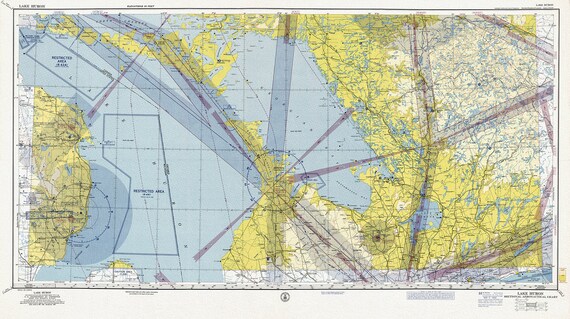 Aeronautical Chart, Ontario, Lake Huron Section, 1960
$41.48
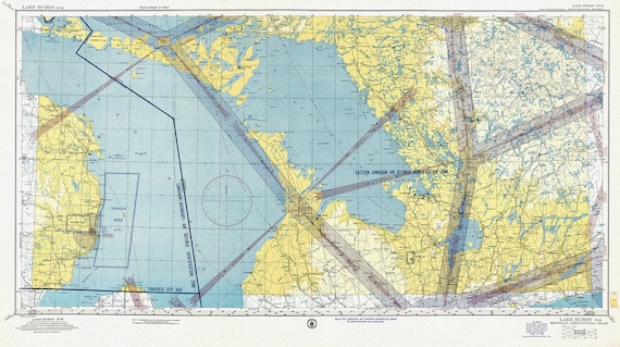 Aeronautical Chart, Ontario, Lake Huron Section, 1952 , map on heavy cotton canvas, 20 x 27" approx.
$41.48
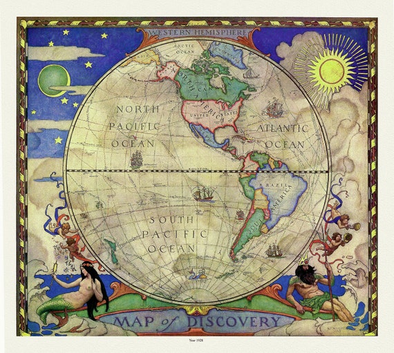 Western Hemisphere, A Map of Discovery, Wyeth auth., 1928, map on heavy cotton canvas, 50 x 70 cm, 20 x 25" approx.
$41.48
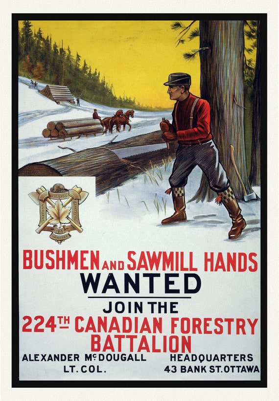 E Bushmen and Sawmill Hands Wanted. Join the 224th Canadian Forestry Battalion, war poster on durable canvas, 50 x 70 cm, 20 x 25" approx.
$41.48
 RCMP, Maintain The Right, Ver. XI, poster on heavy cotton canvas, 50 x 70 cm, 20 x 25" approx.
$41.48
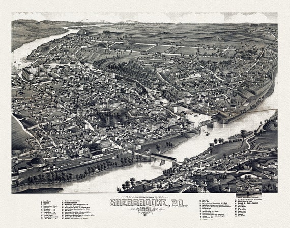 Quebec: Bird's eye view of Sherbrooke, P.Q., 1881 , map on heavy cotton canvas, 22x27" approx.
$41.48
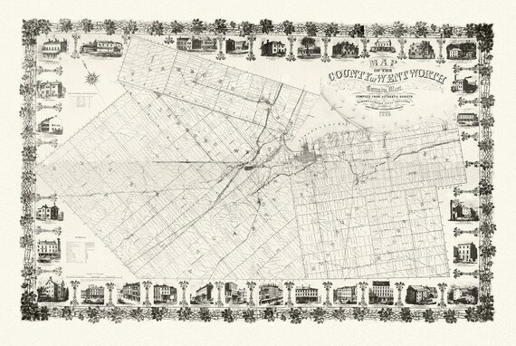 County of Hamilton-Wentworth, 1859, Map on heavy cotton canvas, 1859
$41.48
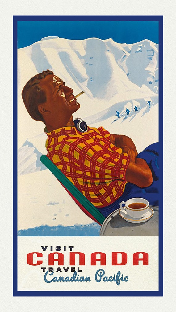 Canadian Pacific, Visit Canada, Ver. XXI, travel poster on heavy cotton canvas, 50 x 70 cm, 20 x 25" approx.
$41.48
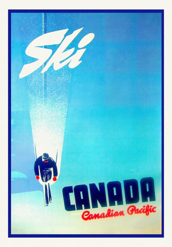 Ski Canada!, Travel Canadian Pacific, travel poster on heavy cotton canvas, 50 x 70 cm, 20 x 25" approx.
$41.48
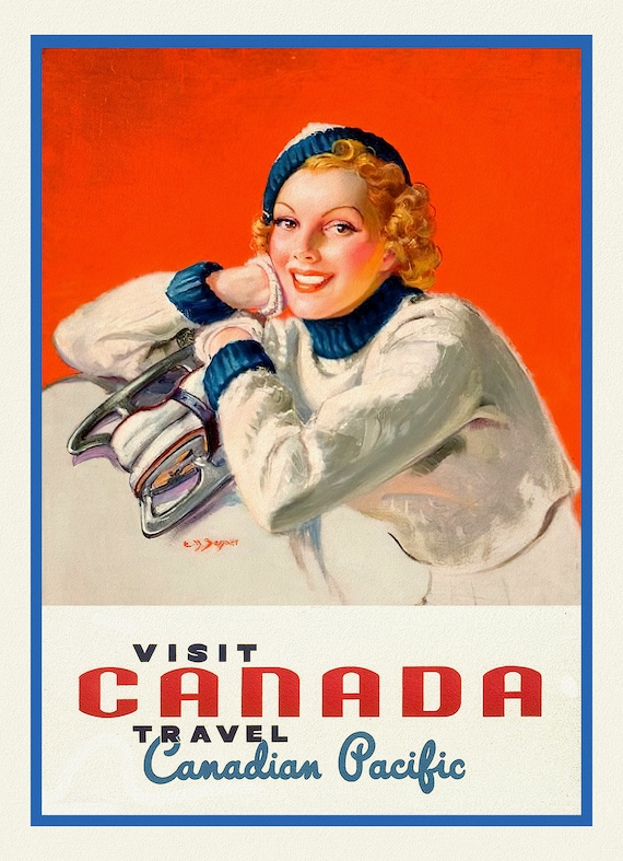 Canadian Pacific, Visit Canada, Ver. XVIII, travel poster on heavy cotton canvas, 50 x 70 cm, 20 x 25" approx.
$41.48
 Ski!, a travel poster on heavy cotton canvas, 50 x 70 cm, 20 x 25" approx.
$41.48
 Canadian Pacific, Visit Canada, Ver. V. 6 , on heavy cotton canvas, 50 x 70 cm, 20 x 25" approx.
$41.48
 Canadian Pacific, Visit Canada, travel poster on heavy cotton canvas, 50 x 70 cm, 20 x 25" approx.
$41.48
 Ski Fun!, British Columbia, travel poster on heavy cotton canvas, 45 x 65 cm, 18 x 24" approx.
$41.48
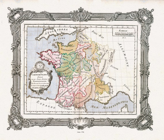 Brion de la Tour, Carte de France divisee en ses douze anciens Gouvernemens, 1766 ,une carte sur toile de coton épais, 56x70cm environ
$41.48
 Rossi, Veteris Galliae Tabulam (France), 1712 ,une carte sur toile de coton épais, 56x70cm environ
$41.48
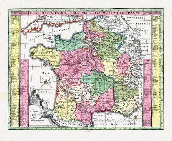 Seutter, Matthaeus ,No.7, Les Routes Exactes des Postes du Royaume de France, 1740 ,une carte sur toile de coton épais, 56x70cm environ
$41.48