
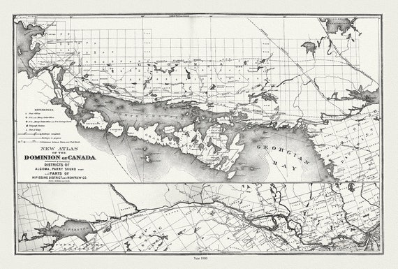
 Lake Huron, North Shore, Algoma, Manitoulin, Parry Sound, 1880 , map on durable cotton canvas, 50 x 70 cm, 20 x 25" approx.
$41.48
 RCMP, Maintain The Right, Ver. IX , vintage poster on heavy cotton canvas, 50 x 70 cm, 20 x 25" approx.
$41.48
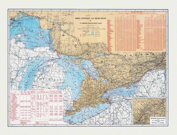 Department of the Interior, Canals, Lighthouses and sailing routes on St. Lawrence River & Great Lakes, 1915, cotton canvas, 22x27" approx.
$41.48
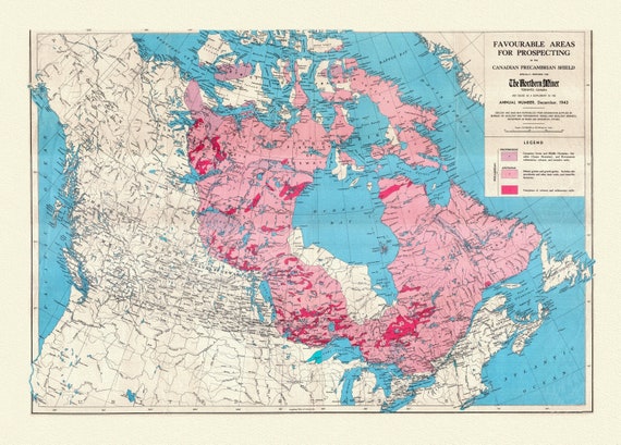 Etsy- Map of Favourable Areas for Prospecting in the Canadian Precambrian Shield, 1943, map on heavy cotton canvas, 22x27" approx.
$41.48
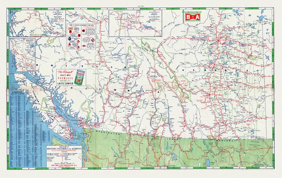 Road Map of the Provinces of British Columbia and Alberta, 1940 , map on heavy cotton canvas, 22x27" approx.
$41.48
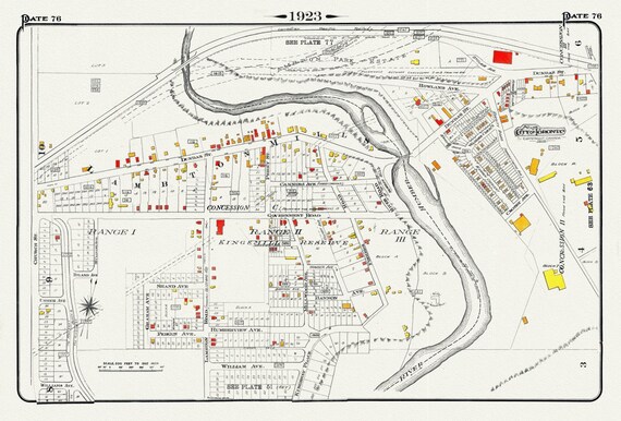 Plate 76, Toronto West, Etobicoke, Lambton Mills & Kingsway, 1923, Map on heavy cotton canvas, 18x27in. approx.
$41.48
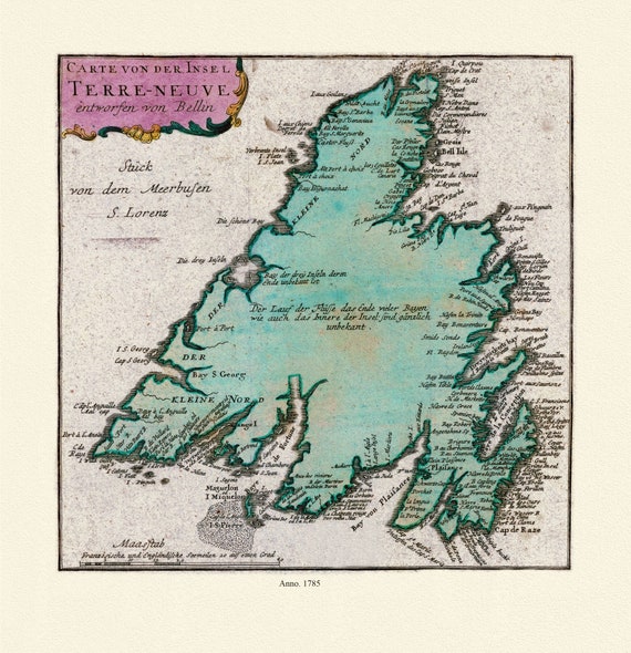 Map of Newfoundland, Canada, 1785, Authors Bellin et Raspe, on Heavy durable cotton canvas, approx. 20 x 24"
$41.48
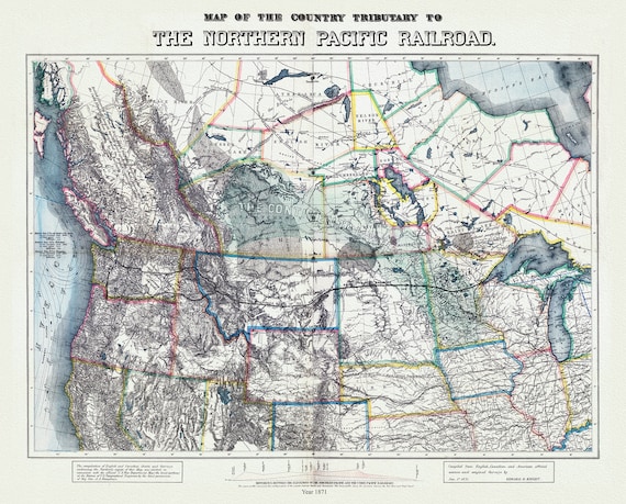 Northern Pacific Railroad, compiled from English, Canadian, and American sources, 1871, map on heavy cotton canvas, 22x27" approx.
$41.48
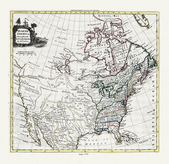 Guthrie et Kitchin, North America, 1774 , map on heavy cotton canvas, 22x27" approx.
$41.48
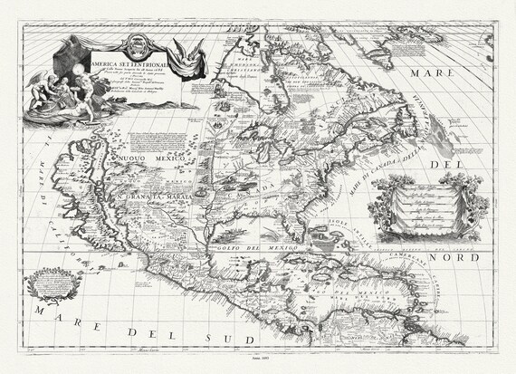 Coronelli (Vicenzo 1650-1718), America Settentrionale, 1693, map on heavy cotton canvas, 22x27" approx.
$41.48
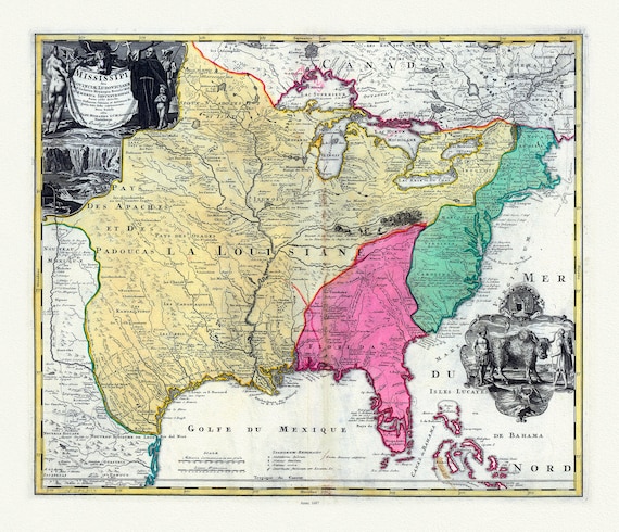 Hennepin, Amplissima regionis Mississipi, Francisc Riviere Mississippi in America septentrionali, 1687, map on heavy cotton canvas, 22x27"
$41.48
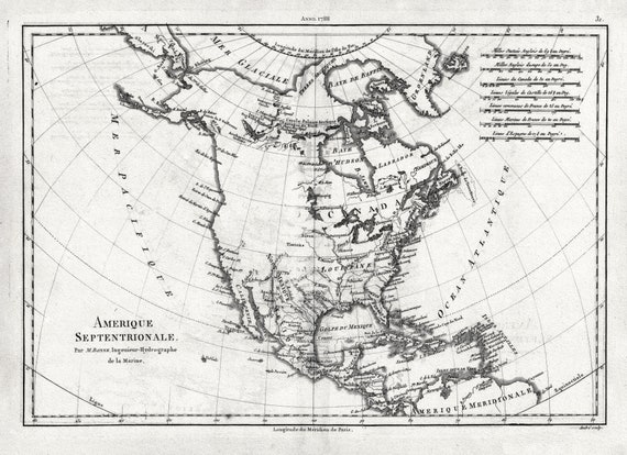 Bonne, Amérique septentrionale, 1788 , map on heavy cotton canvas, 22x27" approx.
$41.48
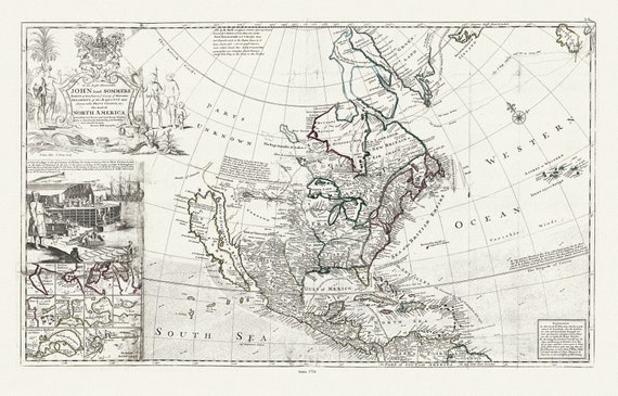 Bowles, Moll et Virtue, This map of North America, according to ye newest and most exact observations, 1712 , map on heavy canvas, 22x27"
$41.48
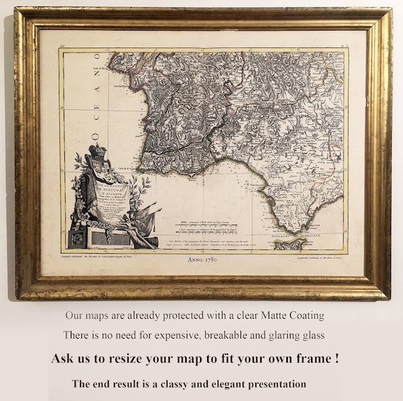 All Our Maps have a Matte Transparent Clear Protective Coating. Often there is No Need for Heavy, Fragile Glaring Glass. Use an old Frame!
$41.48
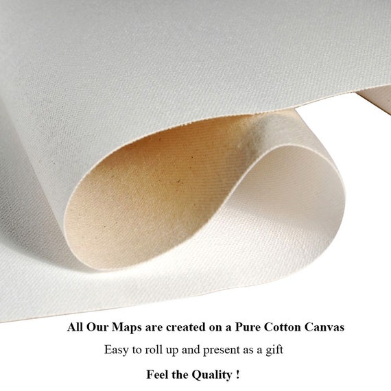 All Our Maps are Created on a pure cotton canvas!....Feel the texture and heft of our durable Maps!
$41.48
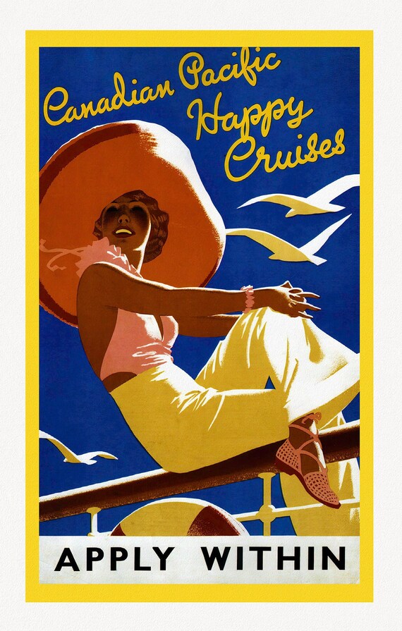 Canadian Pacific, Happy Cruises, c. 1962, travel poster on heavy cotton canvas, 22x27" approx.
$41.48
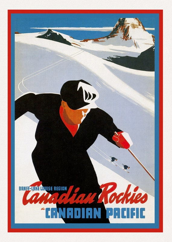 Canadian Pacific, Canadian Rockies, Banff-Lake Louise, c.1950, travel poster on heavy cotton canvas, 22x27" approx.
$41.48
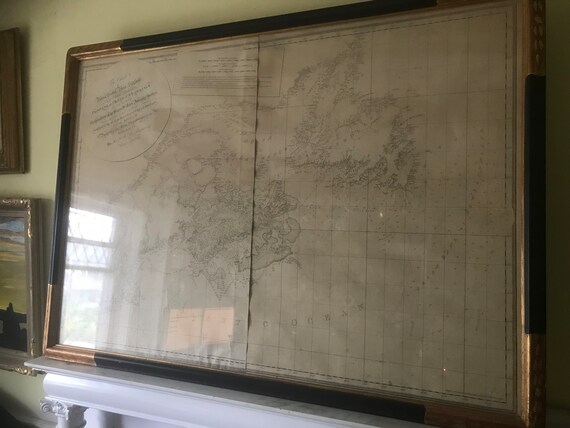 Des Barres, Coast of Nova Scotia, New England, New-York, The Gulf and River of St. Lawrence, 1777, 1st State, an original map, museum framed
$16,600.05
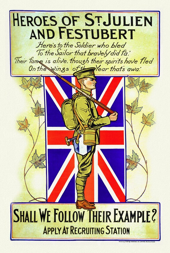 Heroes of St. Julien and Festubert, Shall We Follow Their Example, 1914
$41.48
 Freeedom is in Peril!, vintage war poster on durable cotton canvas, 50 x 70 cm, 20 x 25" approx.
$41.48