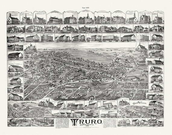
 Truro, Nova Scotia, A Birdseye View, 1889 , vintage print on canvas, 50 x 70 cm, 20 x 25" approx.
$40.18
Truro, Nova Scotia, A Birdseye View, 1889 , vintage print on canvas, 50 x 70 cm, 20 x 25" approx.
$40.18
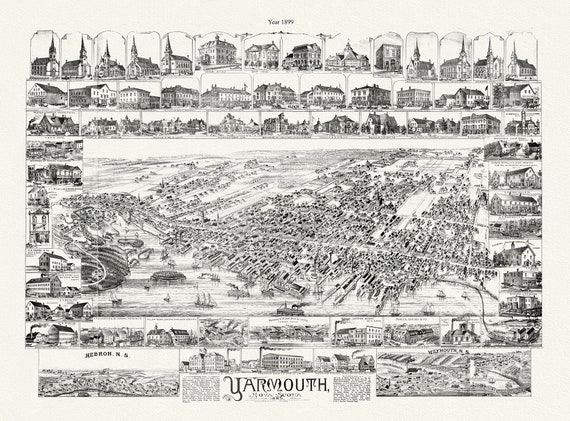 Yarmouth, Nova Scotia, A Bird's Eye View, 1889 , map on durable cotton canvas, 50 x 70 cm, 20 x 25" approx.
$40.18
Yarmouth, Nova Scotia, A Bird's Eye View, 1889 , map on durable cotton canvas, 50 x 70 cm, 20 x 25" approx.
$40.18
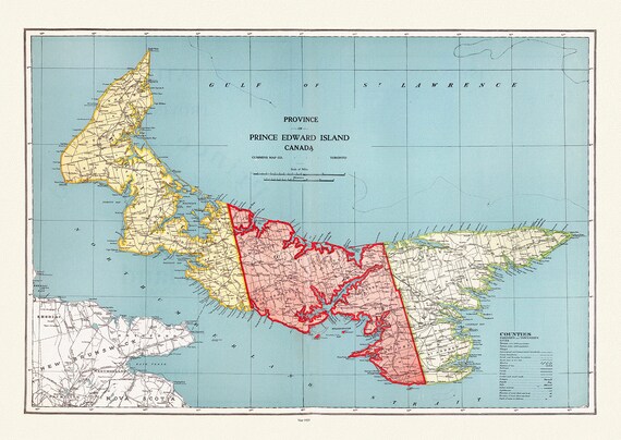 Province of Prince Edward Island, Canada, 1925, vintage map reprinted on durable cotton canvas, 50 x 70 cm or 20x25" approx.
$40.18
Province of Prince Edward Island, Canada, 1925, vintage map reprinted on durable cotton canvas, 50 x 70 cm or 20x25" approx.
$40.18
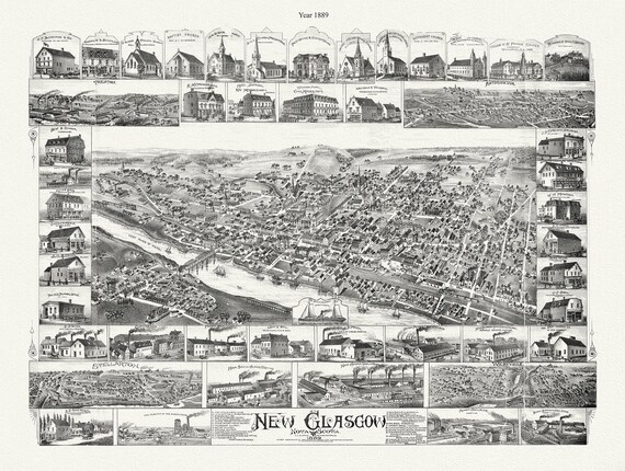 New Glasgow, Nova Scotia, 1889 , map on durable cotton canvas, 50 x 70 cm, 20 x 25" approx.
$40.18
New Glasgow, Nova Scotia, 1889 , map on durable cotton canvas, 50 x 70 cm, 20 x 25" approx.
$40.18
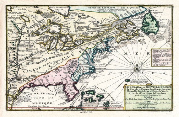 Canada, 1705, Fer auth., map on durable cotton canvas, 50 x 70 cm, 20 x 25" approx.
$40.18
Canada, 1705, Fer auth., map on durable cotton canvas, 50 x 70 cm, 20 x 25" approx.
$40.18
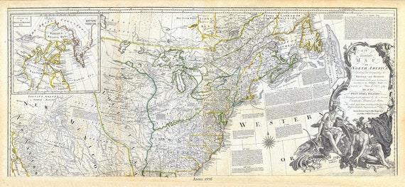 Jeffreys, North America, North East, 1776, map on durable cotton canvas, 21 x 33" approx.
$40.18
Jeffreys, North America, North East, 1776, map on durable cotton canvas, 21 x 33" approx.
$40.18
 Stanley Turner, Canada at War, 1944, vintage war poster on durable cotton canvas, 50 x 70 cm, 20 x 25" approx.
$40.18
Stanley Turner, Canada at War, 1944, vintage war poster on durable cotton canvas, 50 x 70 cm, 20 x 25" approx.
$40.18
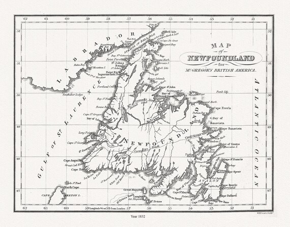 Map of Newfoundland in British America, McGregor auth., 1832, map on heavy cotton canvas, 45 x 65 cm, 18 x 24" approx.
$40.18
Map of Newfoundland in British America, McGregor auth., 1832, map on heavy cotton canvas, 45 x 65 cm, 18 x 24" approx.
$40.18
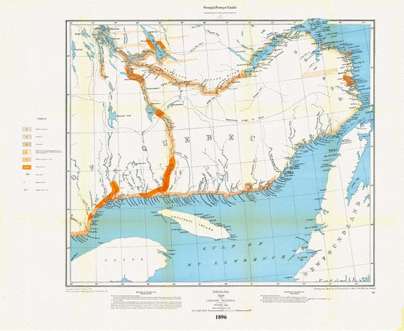
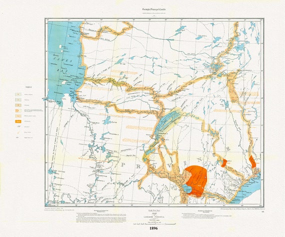 Labrador Peninsula, SW Sheet, 1896 , map on heavy cotton canvas, 45 x 65 cm, 18 x 24" approx.
$40.18
Labrador Peninsula, SW Sheet, 1896 , map on heavy cotton canvas, 45 x 65 cm, 18 x 24" approx.
$40.18
 Labrador Peninsula, SE Sheet, 1896, map on heavy cotton canvas, 45 x 65 cm, 18 x 24" approx.
$40.18
Labrador Peninsula, SE Sheet, 1896, map on heavy cotton canvas, 45 x 65 cm, 18 x 24" approx.
$40.18
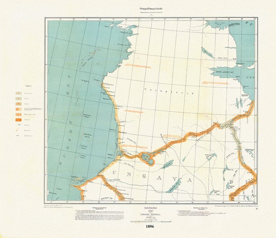 Labrador Peninsula, NW Sheet, 1896 , map on heavy cotton canvas, 45 x 65 cm, 18 x 24" approx.
$40.18
Labrador Peninsula, NW Sheet, 1896 , map on heavy cotton canvas, 45 x 65 cm, 18 x 24" approx.
$40.18
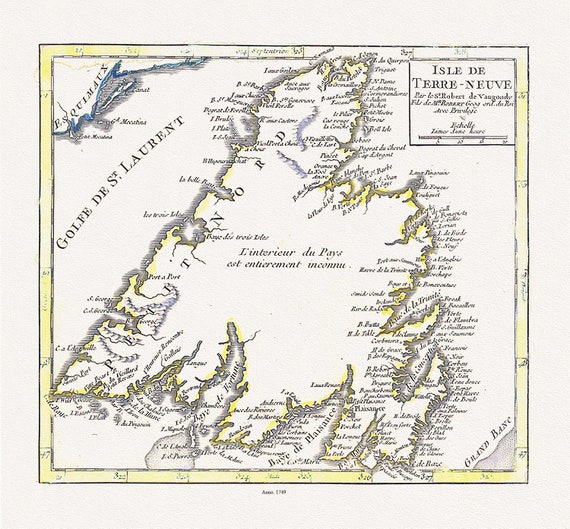 Isle de Terre-neuve, Vaugondy auth., 1749 , map on heavy cotton canvas, 45 x 65 cm, 18 x 24" approx.
$40.18
Isle de Terre-neuve, Vaugondy auth., 1749 , map on heavy cotton canvas, 45 x 65 cm, 18 x 24" approx.
$40.18
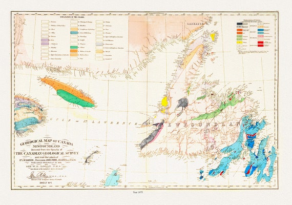 Geological map of Canada and Newfoundland, 1875 , map on heavy cotton canvas, 45 x 65 cm, 18 x 24" approx.
$40.18
Geological map of Canada and Newfoundland, 1875 , map on heavy cotton canvas, 45 x 65 cm, 18 x 24" approx.
$40.18
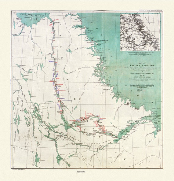 Labrador, Hubbard auth., 1908
$40.18
Labrador, Hubbard auth., 1908
$40.18
 Newfoundland, A Modern Map on heavy cotton canvas, 45 x 65 cm, 18 x 24" approx.
$40.18
Newfoundland, A Modern Map on heavy cotton canvas, 45 x 65 cm, 18 x 24" approx.
$40.18
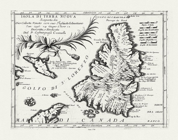 Coronelli, Map of Newfoundland,1692 Ver. III , map on heavy cotton canvas, 45 x 65 cm, 18 x 24" approx.
$40.18
Coronelli, Map of Newfoundland,1692 Ver. III , map on heavy cotton canvas, 45 x 65 cm, 18 x 24" approx.
$40.18
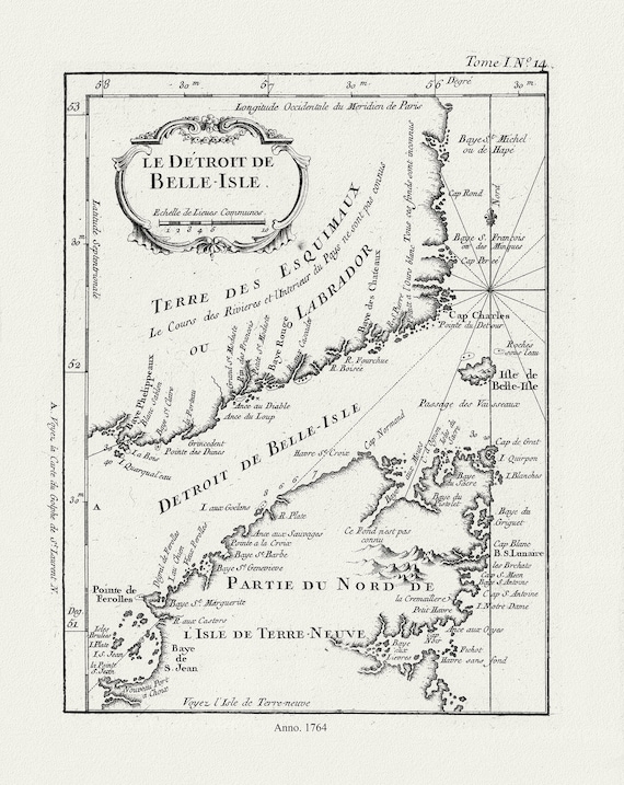 E Bellin, Le Detroit de Belle-Isle, 1764 , map on heavy cotton canvas, 45 x 65 cm, 18 x 24" approx.
$40.18
E Bellin, Le Detroit de Belle-Isle, 1764 , map on heavy cotton canvas, 45 x 65 cm, 18 x 24" approx.
$40.18
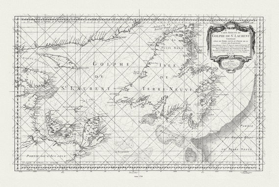 Bellin, Carte reduite du Golphe de St. Laurent, 1754
$40.18
Bellin, Carte reduite du Golphe de St. Laurent, 1754
$40.18
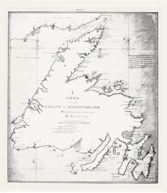 A sketch of the island of Newfoundland.Cook. 1763 , map on heavy cotton canvas, 45 x 65 cm, 18 x 24" approx.
$40.18
A sketch of the island of Newfoundland.Cook. 1763 , map on heavy cotton canvas, 45 x 65 cm, 18 x 24" approx.
$40.18
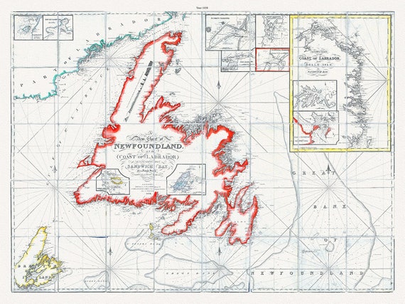 A new chart of Newfoundland, and coast of Labrador extending to Sandwich Bay, Blachford ,1838 , cotton canvas, 45 x 65 cm, 18 x 24" approx.
$40.18
A new chart of Newfoundland, and coast of Labrador extending to Sandwich Bay, Blachford ,1838 , cotton canvas, 45 x 65 cm, 18 x 24" approx.
$40.18