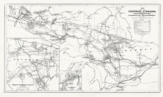
 Map of Central Canada Showing Transportation and Commercial Development, 1927, map on heavy cotton canvas, 50 x 70cm, 20 x 25" approx.
$33.98
Map of Central Canada Showing Transportation and Commercial Development, 1927, map on heavy cotton canvas, 50 x 70cm, 20 x 25" approx.
$33.98
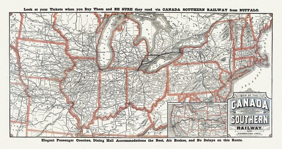 Canada Southern Railway No. 18, 1910, map on heavy cotton canvas, 50 x 70cm, 20 x 25" approx.
$33.98
Canada Southern Railway No. 18, 1910, map on heavy cotton canvas, 50 x 70cm, 20 x 25" approx.
$33.98
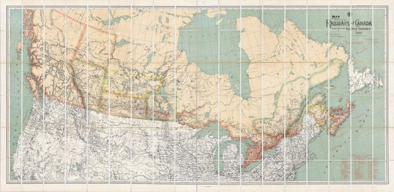 A Map Shewing the Railways of Canada, 1886, map on heavy cotton canvas, 50 x 70cm, 20 x 25" approx.
$33.98
A Map Shewing the Railways of Canada, 1886, map on heavy cotton canvas, 50 x 70cm, 20 x 25" approx.
$33.98
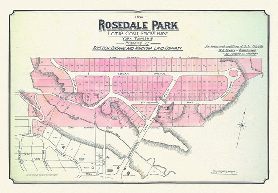 Toronto Uptown, Rosedale, 1884 , map on heavy cotton canvas, 20 x 30" approx.
$33.98
Toronto Uptown, Rosedale, 1884 , map on heavy cotton canvas, 20 x 30" approx.
$33.98
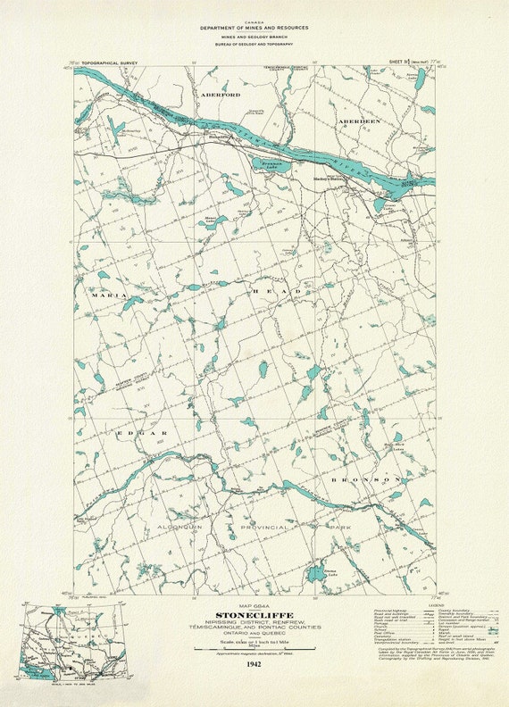 Historic Algonquin Park Map, Stonecliffe ,National Topographic Series, 1942, map on heavy cotton canvas, 20 x 25" approx.
$33.98
Historic Algonquin Park Map, Stonecliffe ,National Topographic Series, 1942, map on heavy cotton canvas, 20 x 25" approx.
$33.98
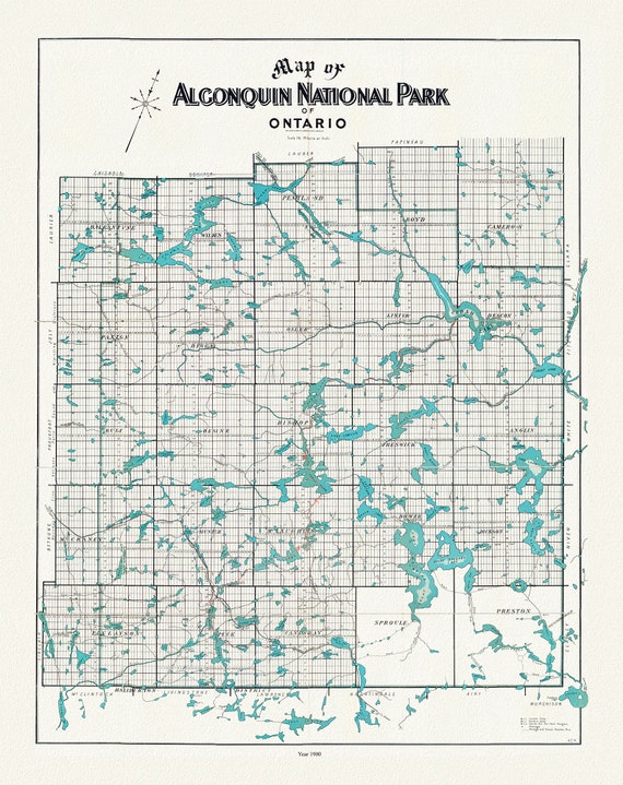 Historic Algonquin Park Map, Copp Clark Co., 1900, map on heavy cotton canvas, 20 x 25" approx.
$33.98
Historic Algonquin Park Map, Copp Clark Co., 1900, map on heavy cotton canvas, 20 x 25" approx.
$33.98
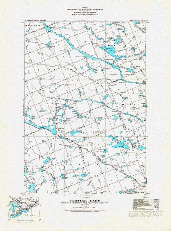 Historic Algonquin Park Map, Cartier Lake, National Topographic Series, 1944 , map on heavy cotton canvas, 20 x 25" approx.
$33.98
Historic Algonquin Park Map, Cartier Lake, National Topographic Series, 1944 , map on heavy cotton canvas, 20 x 25" approx.
$33.98
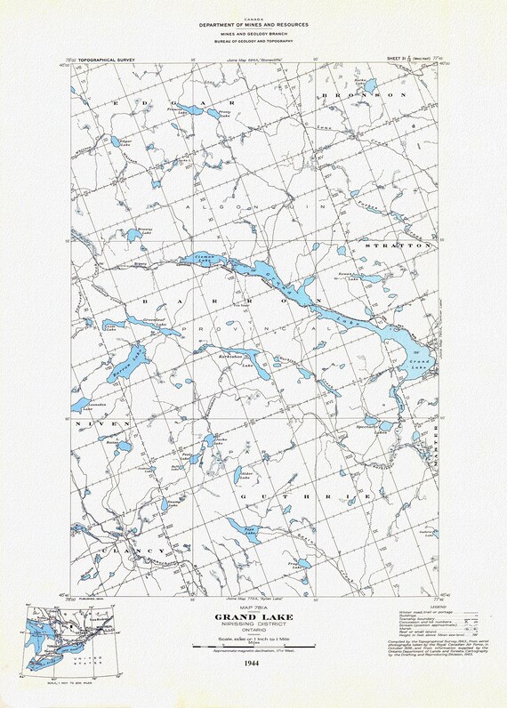 Historic Algonquin Park Map, Grand Lake, National Topographic Series, 1944, map on heavy cotton canvas, 20 x 25" approx.
$33.98
Historic Algonquin Park Map, Grand Lake, National Topographic Series, 1944, map on heavy cotton canvas, 20 x 25" approx.
$33.98
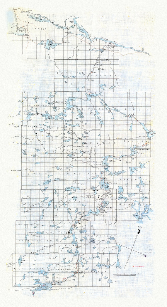 Historic Algonquin Park Map (Hand drawn), Kawagama to North Bay via Algonquin, c. 1916 , map on heavy cotton canvas, 20 x 25" approx.
$33.98
Historic Algonquin Park Map (Hand drawn), Kawagama to North Bay via Algonquin, c. 1916 , map on heavy cotton canvas, 20 x 25" approx.
$33.98
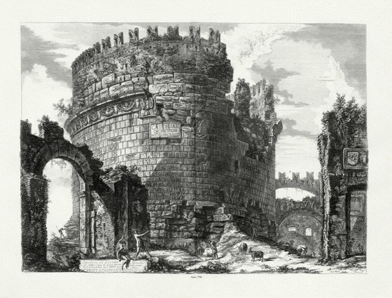 Giovanni Battista Piranesi, Vedute di Roma, Tomb of Cecilia Metella, c. 1760, map on heavy cotton canvas, 22x27" approx.
$33.98
Giovanni Battista Piranesi, Vedute di Roma, Tomb of Cecilia Metella, c. 1760, map on heavy cotton canvas, 22x27" approx.
$33.98
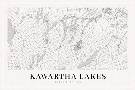 Kawartha Lakes, A Modern Map, map on durable cotton canvas, 50 x 70 cm, 20 x 25" approx.
$33.98
Kawartha Lakes, A Modern Map, map on durable cotton canvas, 50 x 70 cm, 20 x 25" approx.
$33.98
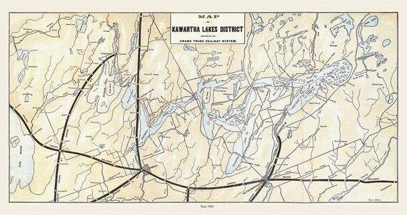 Kawartha Lakes District, Grand Trunk Railroad, 1901 , map on durable cotton canvas, 50 x 70 cm, 20 x 25" approx.
$33.98
Kawartha Lakes District, Grand Trunk Railroad, 1901 , map on durable cotton canvas, 50 x 70 cm, 20 x 25" approx.
$33.98
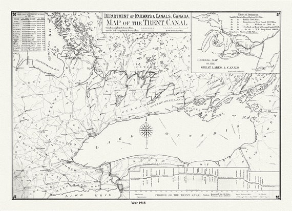 Trent Canal, Ontario, in 1918. It shows uncompleted and completed canals, railroads, and distances between major cities, 20 x 25" approx.
$33.98
Trent Canal, Ontario, in 1918. It shows uncompleted and completed canals, railroads, and distances between major cities, 20 x 25" approx.
$33.98
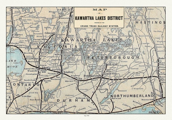 Kawartha Lake District, Grand Trunk Railway, 1903 Ver. II, map on durable cotton canvas, 50 x 70 cm, 20 x 25" approx.
$33.98
Kawartha Lake District, Grand Trunk Railway, 1903 Ver. II, map on durable cotton canvas, 50 x 70 cm, 20 x 25" approx.
$33.98
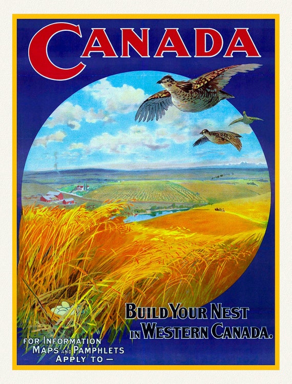 Build Your Nest in Western Canada , vintage travel poster reprinted on heavy cotton canvas, 50 x 70 cm, 20 x 25" approx.
$33.98
Build Your Nest in Western Canada , vintage travel poster reprinted on heavy cotton canvas, 50 x 70 cm, 20 x 25" approx.
$33.98
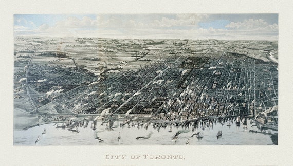 Wesbroom, View of Toronto, 1886, map on heavy cotton canvas, 22x27" approx.
$33.98
Wesbroom, View of Toronto, 1886, map on heavy cotton canvas, 22x27" approx.
$33.98
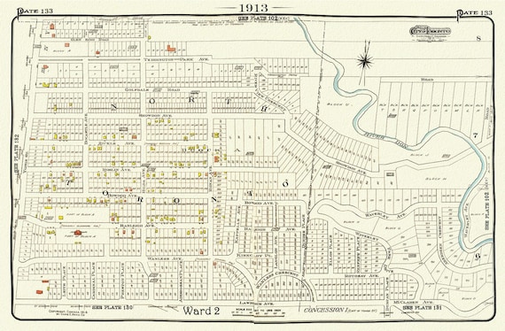 Plate 133, Toronto North, Lawrence Park North, 1913, map on heavy cotton canvas, 20 x 30" or 50 x 75cm. approx.
$33.98
Plate 133, Toronto North, Lawrence Park North, 1913, map on heavy cotton canvas, 20 x 30" or 50 x 75cm. approx.
$33.98
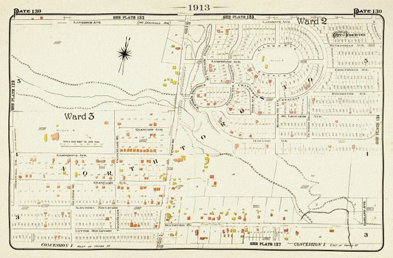 Plate 130, Toronto North, Lawrence Park, 1913, map on heavy cotton canvas, 20 x 30" or 50 x 75cm. approx.
$33.98
Plate 130, Toronto North, Lawrence Park, 1913, map on heavy cotton canvas, 20 x 30" or 50 x 75cm. approx.
$33.98
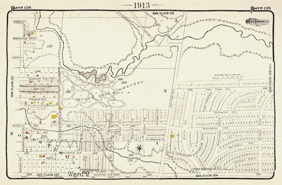 Plate 128, Toronto Northeast, Mount Hope Cemetery, 1913, map on heavy cotton canvas, 20 x 30" or 50 x 75cm. approx.
$33.98
Plate 128, Toronto Northeast, Mount Hope Cemetery, 1913, map on heavy cotton canvas, 20 x 30" or 50 x 75cm. approx.
$33.98
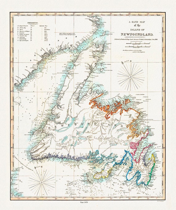 A Hand Map of the Island of Newfoundland, Findlay auth.,1859 , map on heavy cotton canvas, 45 x 65 cm, 18 x 24" approx.
$33.98
A Hand Map of the Island of Newfoundland, Findlay auth.,1859 , map on heavy cotton canvas, 45 x 65 cm, 18 x 24" approx.
$33.98