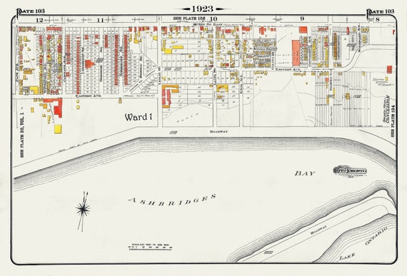
 Plate 103, Toronto East, Waterfront, Ashbridges Bay, 1923, Map on heavy cotton canvas, 18x27in. approx.
$41.44
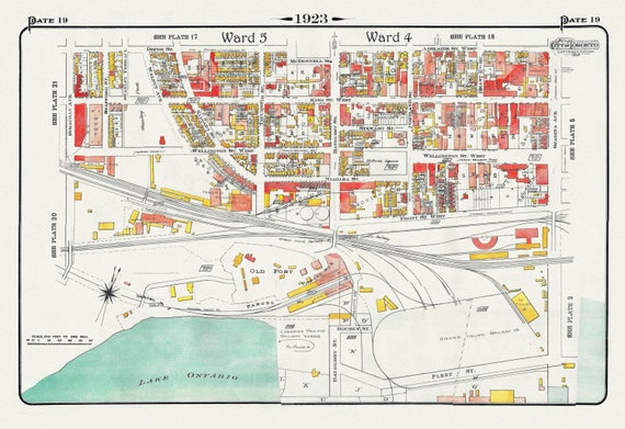 Plate 19, Toronto West, Waterfront, Foot of Bathurst St., 1923, Map on heavy cotton canvas, 18x27in. approx.
$41.44
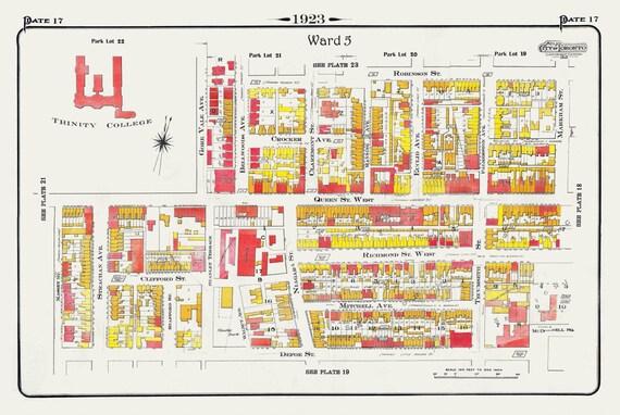 Plate 17, Toronto West, Parkdale, Trinity College, 1923, Map on heavy cotton canvas, 18x27in. approx.
$41.44
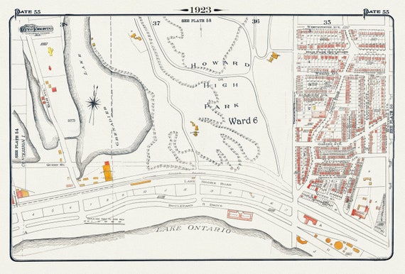 Plate 55, Toronto West, Southern High Park Area, 1923, Map on heavy cotton canvas, 18x27in. approx.
$41.44
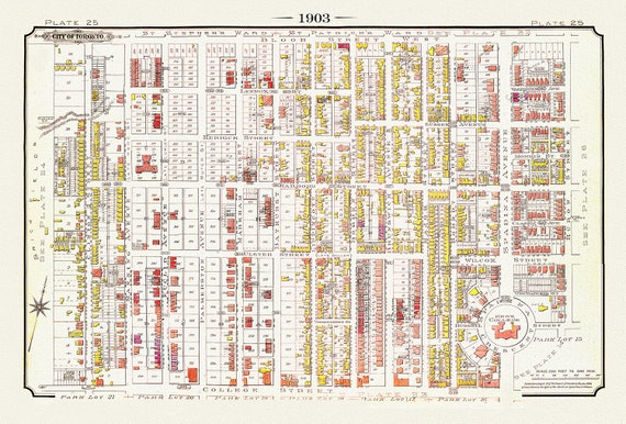 Plate 25, Toronto Downtown West, Annex South, Knox College, 1903 , map on heavy cotton canvas, 20 x 30", 50 x 76cm, approx.
$41.44
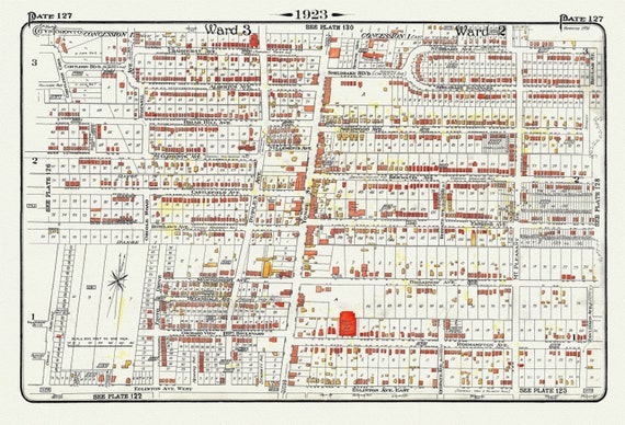 Plate 127, Toronto Uptown, Yonge St. North of Eglinton, 1923, Map on heavy cotton canvas, 18x27in. approx.
$41.44
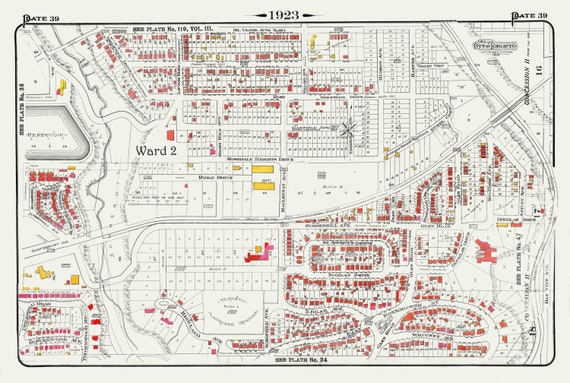 Plate 39, Toronto Uptown, Rosedale & Moore Park, 1923, Map on heavy cotton canvas, 18x27in. approx.
$41.44
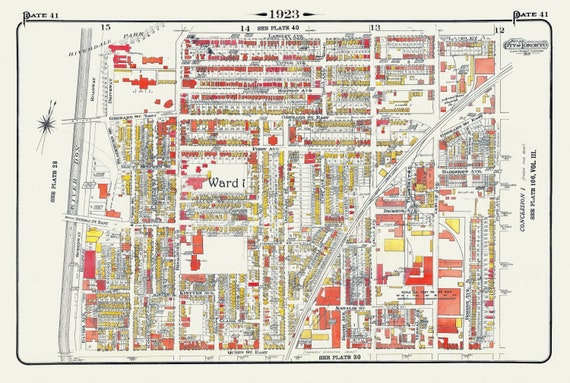 Plate 41, Toronto East, Riverdale & Leslieville, 1923, Map on heavy cotton canvas, 18x27in. approx.
$41.44
 Plate 40, Toronto East, Riverdale, Withrow Park, 1923, Map on heavy cotton canvas, 18x27in. approx.
$41.44
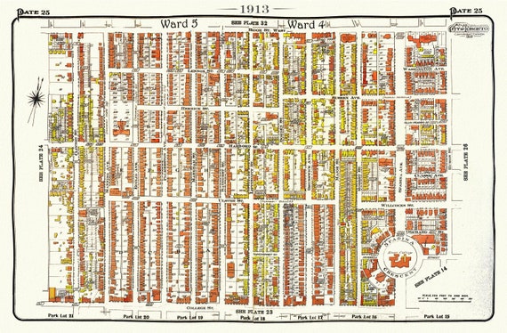 Plate 25, Toronto Central West, Annex South, 1913, map on heavy cotton canvas, 20 x 30" approx.
$41.44
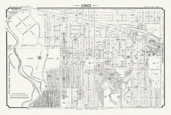 Plate 44, Toronto West, Baby Estate & Junction West, 1903, map on heavy cotton canvas, 20 x 30" or 50 x 75cm. approx.
$41.44
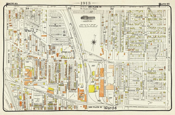 Plate 65, Toronto West, The Junction Triangle North, 1913, map on heavy cotton canvas, 20 x 30" or 50 x 75cm. approx.
$41.44
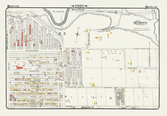 Plate 115, Toronto East York, Donlands & O'Connor Ave., 1923, Map on heavy cotton canvas, 18x27in. approx.
$41.44
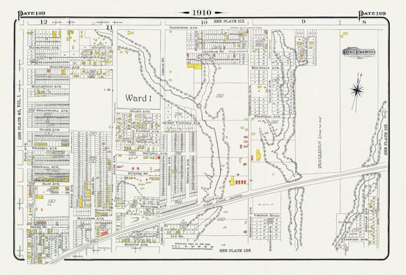 Plate 109, Toronto East, Leslieville North, Monarch Park, 1910 , map on heavy cotton canvas, 20 x 30" approx.
$41.44
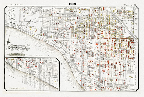 Plate 43, Toronto West, Parkdale South, 1903
$37.67
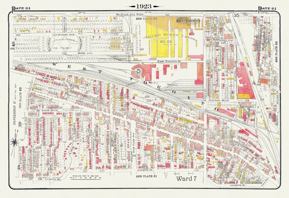 Plate 64, Toronto West, The Junction & Stockyards, 1923, Map on heavy cotton canvas, 18x27in. approx.
$41.44
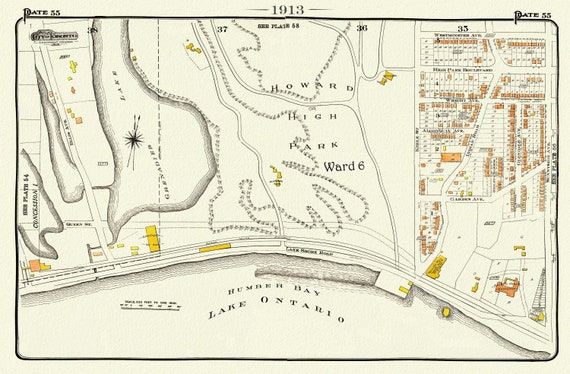 Plate 55 Toronto West, High Park South, 1913, map on heavy cotton canvas, 20 x 30" approx.
$41.44
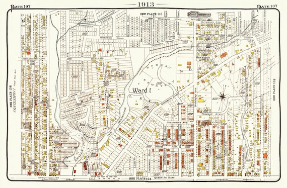 Plate 107, Toronto East, The Beach, Norway, Berkeley, 1913, map on heavy cotton canvas, 20 x 30" or 50 x 75cm. approx.
$41.44
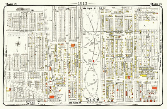 Plate 68, Toronto West, St.Clair, Prospect Cemetery, 1913, map on heavy cotton canvas, 20 x 30" or 50 x 75cm. approx.
$41.44
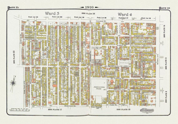 Plate 23, Toronto Downtown West, Kensington, & Annex South, 1910, map on heavy cotton canvas, 20 x 30" approx.
$41.44