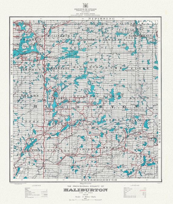
 Historic Algonquin Park Map, Haliburton County, 1937 , map on heavy cotton canvas, 20 x 25" approx.
$41.48
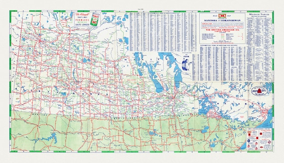 Road Map of the Provinces of Manitoba and Saskatchewan, 1940 Sheet 2
$41.48
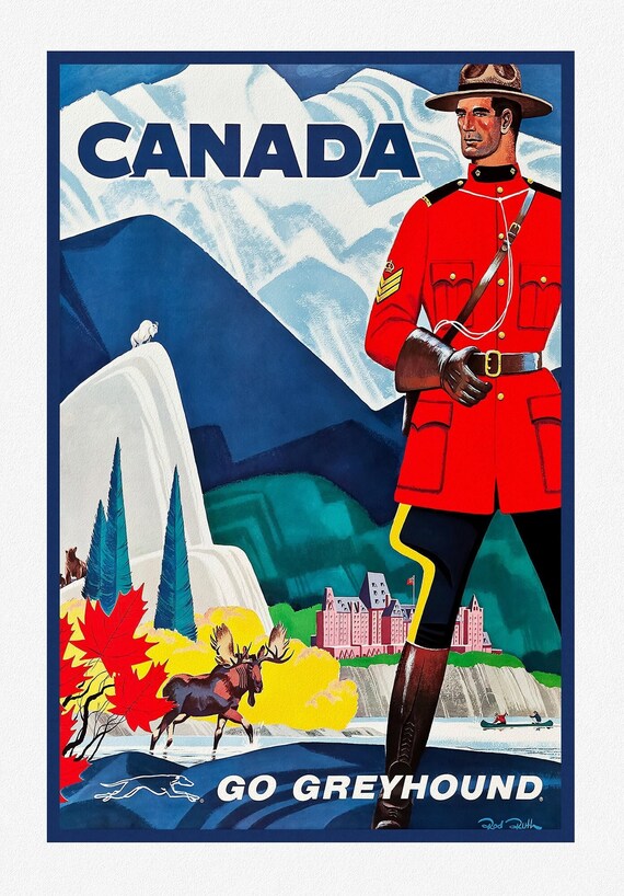 Canada, Go Greyhound , travel poster on heavy cotton canvas, 20x25" approx.
$41.48
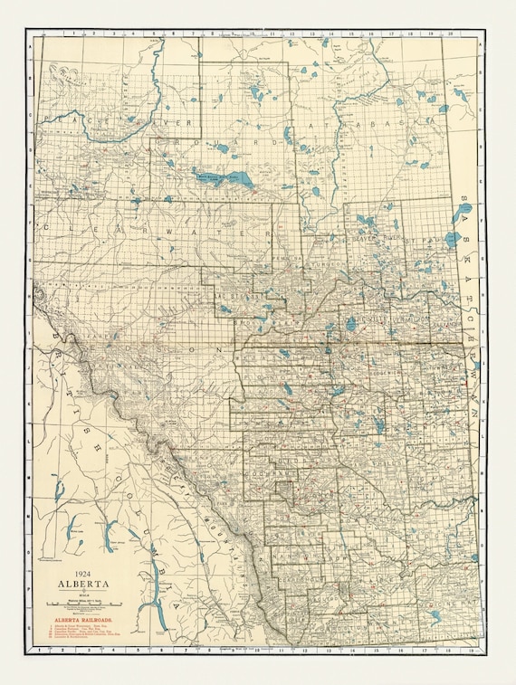 Rand McNally & Company, Commercial Atlas, Alberta, 1924 V. II , map on heavy cotton canvas, 22x27" approx.
$41.48
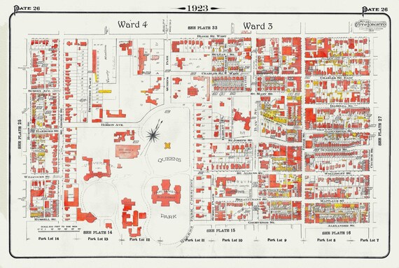 Plate 26, Downtown West, Queen's Park and University of Toronto, 1923, Map on heavy cotton canvas, 18x27in. approx.
$41.48
 Toronto Humane Society, Be Kind to Animals Ver. I , vintage poster on heavy cotton canvas, 20x25" approx.
$41.48
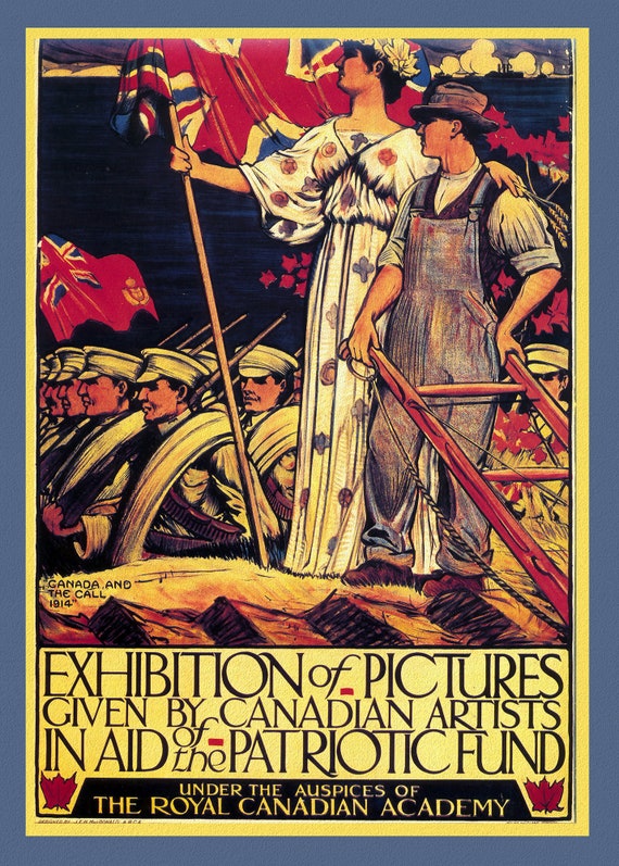 Canada WW I Poster, Exhibition of Pictures, RCA,1915, heavy cotton canvas,22x27" approx.
$41.48
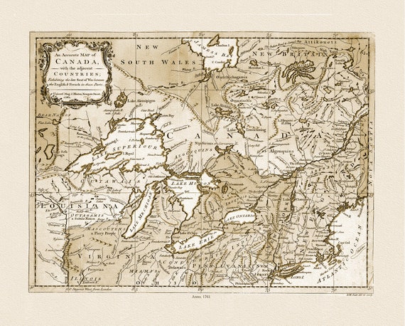 Canada, with the adjacent countries exhibiting the late seat of war between the English & French in those parts, 1761 ,on canvas, 22x27"
$41.48
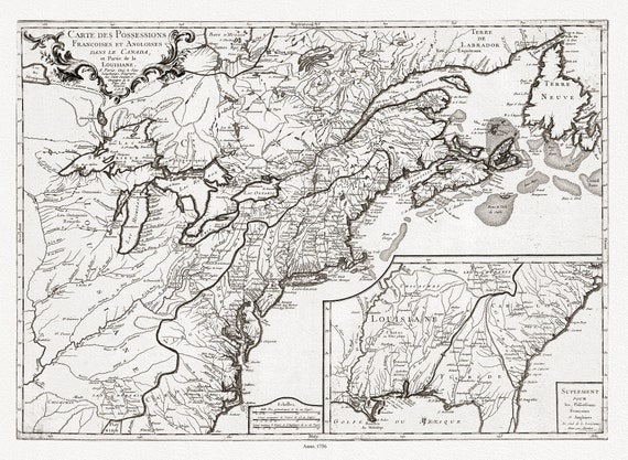 Longchamps et Thevenard, Carte des possessions françoises et angloises dans le Canada, et partie de la Louisiane, 1756, on canvas, 22x27"
$41.48
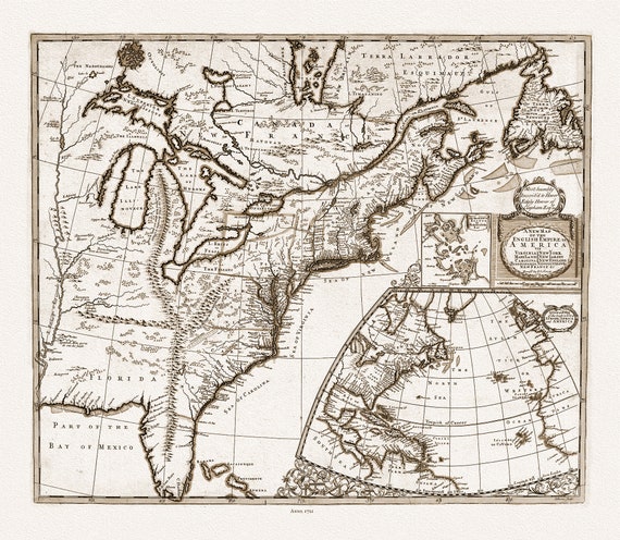 John Senex, New Map of the English Empire in America, 1721 Ver. D,sepia tone, map on heavy cotton canvas, 22x27" approx.
$41.48
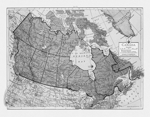 J.W. Clement Co., Canada, 1943 Ver. Bw7, map on heavy cotton canvas, 22x27" approx.
$41.48
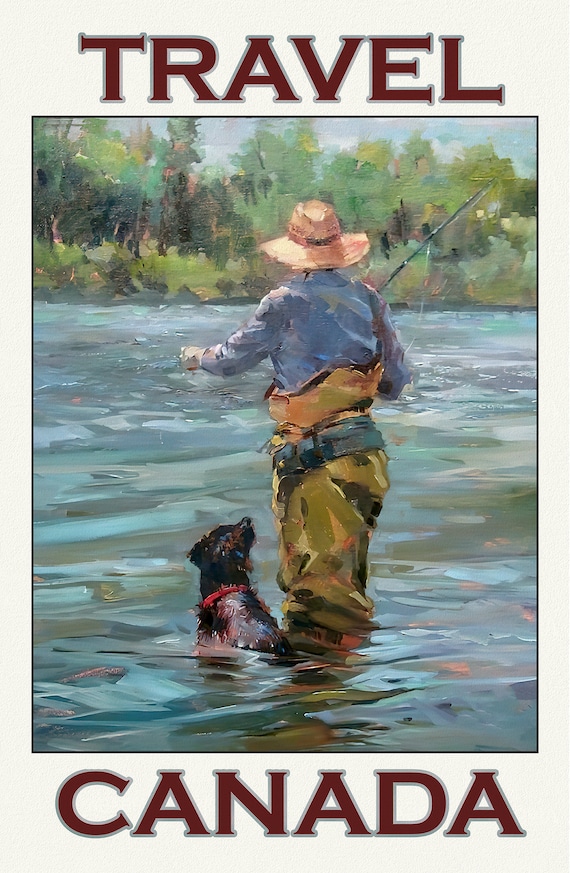 Travel Canada, Fishing Ver. 5, travel poster on durable cotton canvas, 50 x 70 cm, 20 x 25" approx
$41.48
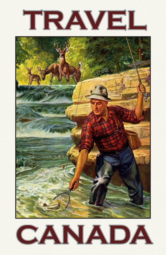 Travel Canada, Fishing Ver. 4, travel poster on durable cotton canvas, 50 x 70 cm, 20 x 25" approx
$41.48
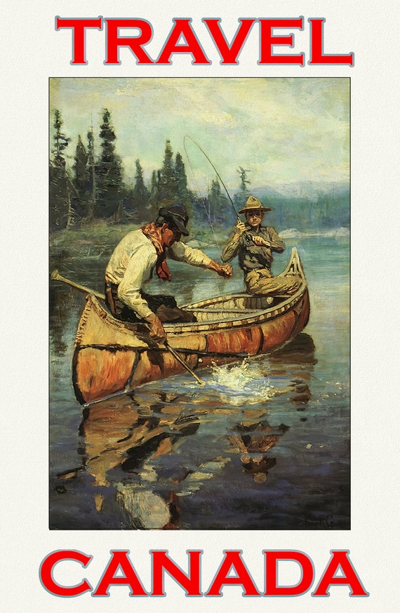 Travel Canada, Fishing Ver. 3 , travel poster on durable cotton canvas, 50 x 70 cm, 20 x 25" approx
$41.48
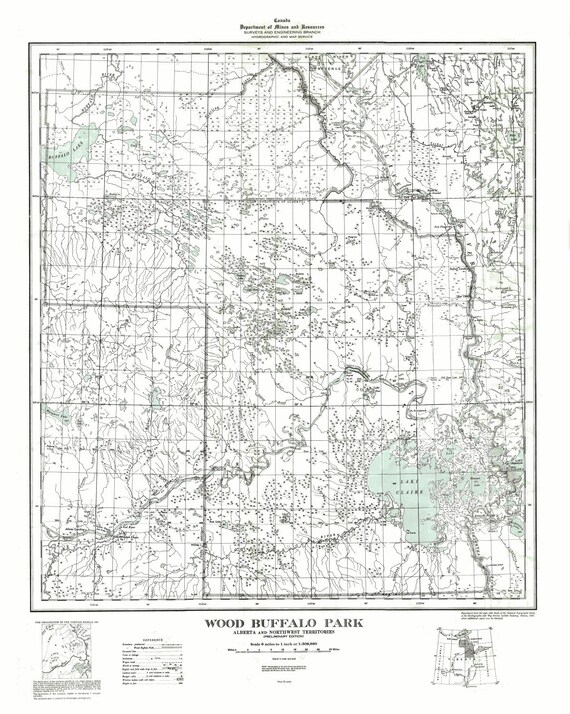 Wood Buffalo Park, Alberta and Northwest Territories, 1947
$41.48
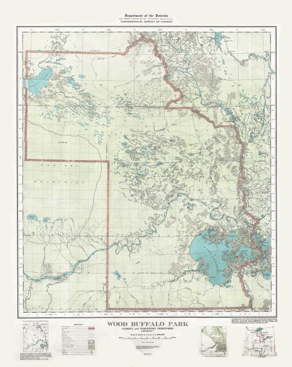 Wood Buffalo Park, Alberta and Northwest Territories, 1931 , map on heavy cotton canvas, 22x27" approx.
$41.48
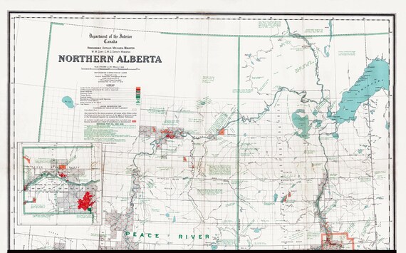 Northern Alberta, map showing disposition of lands, 1918 , map on heavy cotton canvas, 22x27" approx.
$41.48
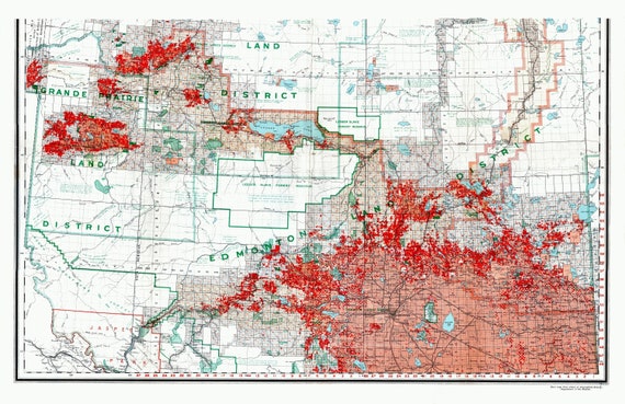 Northern Alberta, map showing disposition of lands, 1918 South Sheet, map on heavy cotton canvas, 22x27" approx.
$41.48
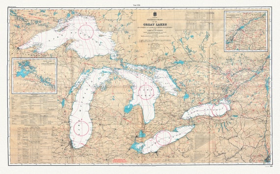 Canada Hydrographic Office, A General Chart of the Great Lakes, 1927 , map on heavy cotton canvas, 50x70cm (20 x 25") approx.
$41.48
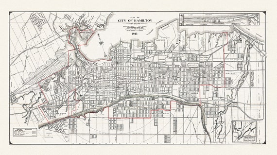 Map of the City of Hamilton, Ontario, 1943, on heavy cotton canvas, 22x27" approx.
$41.48