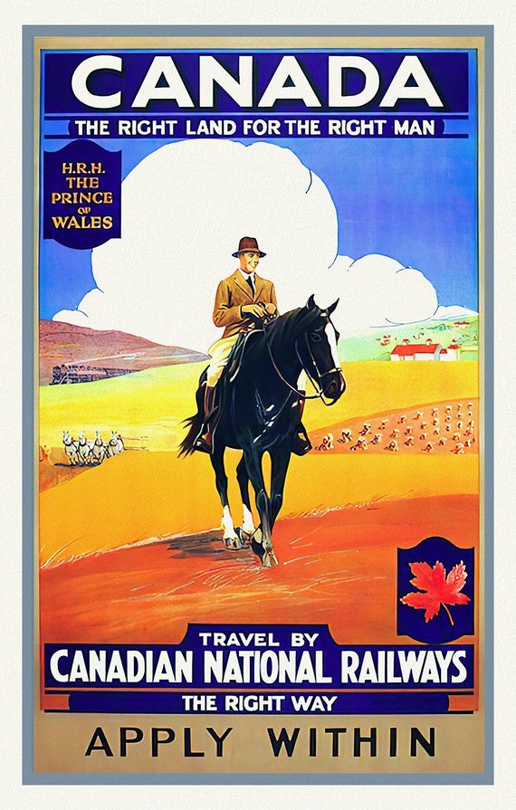
 Canada, The Right Land, CNR, vintage travel poster reprinted on durable cotton canvas, 50 x 70 cm, 20 x 25" approx.
$41.37
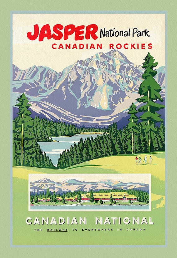 Jasper National Park, CNR Ver. III, vintage travel poster reprinted on heavy cotton canvas, 50 x 70 cm, 20 x 25" approx.
$41.37
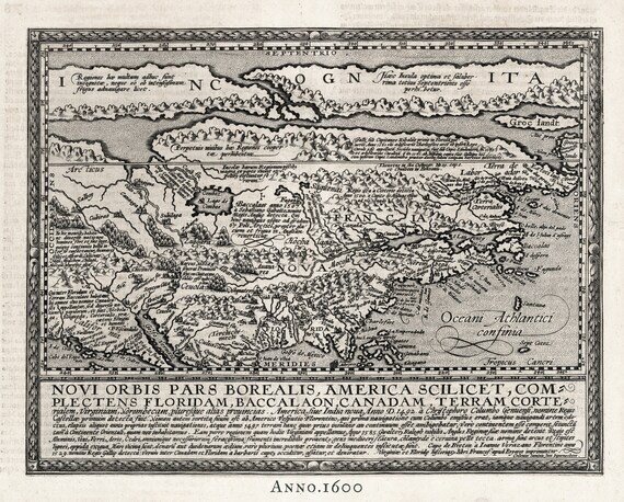 North America, 1600, Quad auth., map on durable cotton canvas, 50 x 70 cm or 20x25" approx.
$41.37
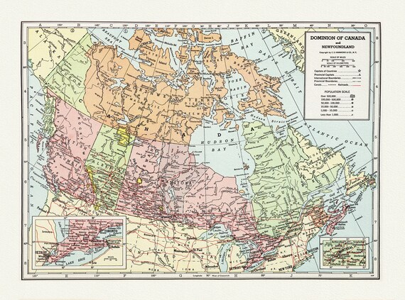 Dominion of Canada and Newfoundland-1948, Hammond auth., vintage map reprinted on durable cotton canvas, 50 x 70 cm, 20 x 25" approx.
$41.37
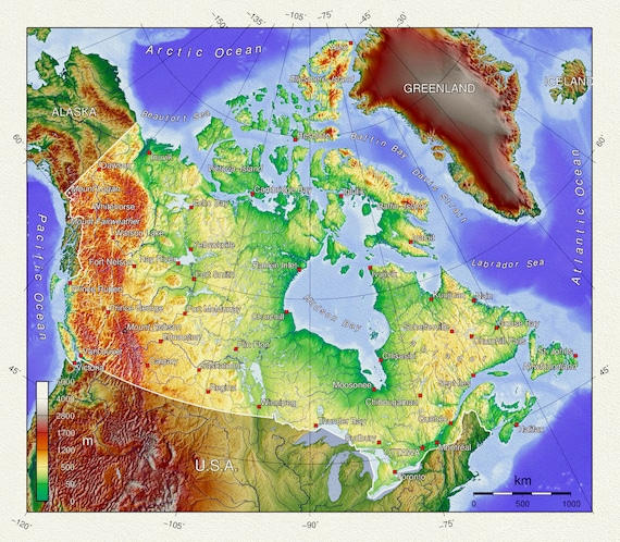 Topographical Map of Canada, vintage map reprinted on durable cotton canvas, 50 x 70 cm, 20 x 25" approx.
$41.37
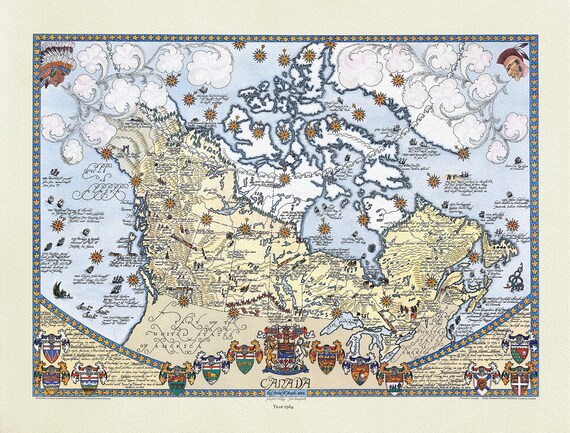 Furse, Canada, 1964 , map on durable cotton canvas, 50 x 70 cm or 20x25" approx.
$41.37
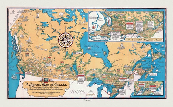 Canada, A Literary Map, 1936 , vintage map reprinted on durable cotton canvas, 50 x 70 cm, 20 x 25" approx.
$41.37
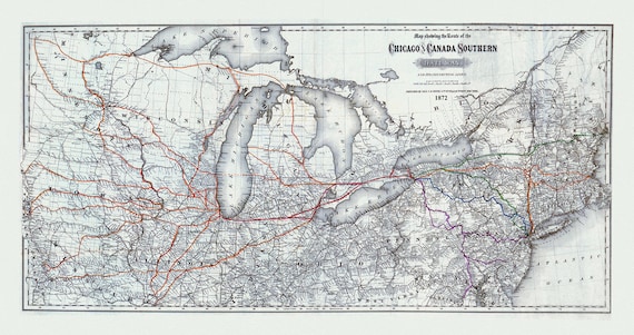 Map showing the route of the Chicago and Canada Southern Railway and its connecting lines, Colton auth., 1872 on canvas, 20 x 25" approx
$41.37
 Bungalow Camps in The Canadian Rockies , reprinted vintage poster on heavy cotton canvas, 50 x 70 cm, 20 x 25" approx.
$41.37
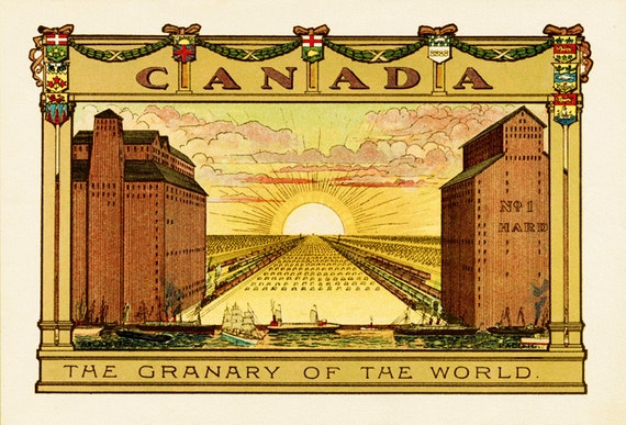 Canada, The Granary of the World
$41.37
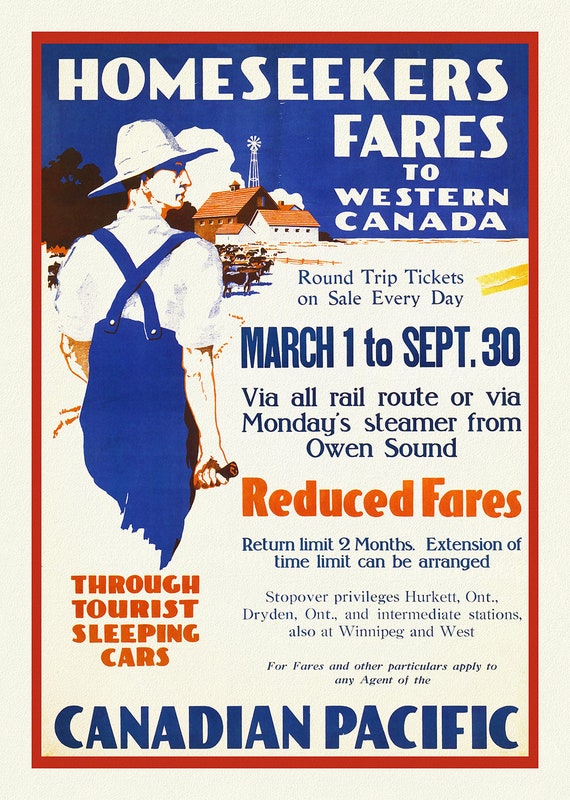 Canadian Pacific, Homeseeker Fares to Western Canada, 1910, reprinted vintage poster on heavy cotton canvas, 50 x 70 cm, 20 x 25" approx.
$41.37
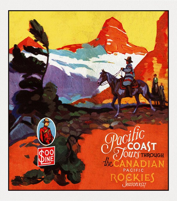 Pacific Coast Tours through the Canadian Rockies, 1927
$41.37
 Canadian Pacific to the Canadian Farm , reprinted vintage poster on heavy cotton canvas, 50 x 70 cm, 20 x 25" approx.
$41.37
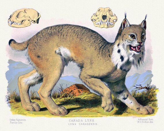 Canada Lynx (Lynx Canadensis), a reprinted antique decorative print on durable cotton canvas, 50 x 70 cm, 20 x 25" approx.
$41.37
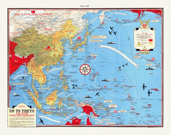 WW II, Dated Events, On To Tokyo, Map of the Pacific and the Far East, 1944, Turner auth., map on canvas, 50 x 70 cm, 20 x 25" approx.
$33.85
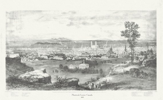 Montreal, Lower Canada, 1855, Whitfield auth., vintage print reprinted on durable cotton canvas, 50 x 70 cm, 20 x 25" approx.
$41.37
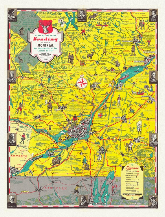 Montreal, Carte des Vacances des regions, 1948, map on durable cotton canvas, 50 x 70 cm, 20 x 25" approx.
$41.37
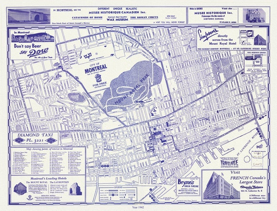 Montreal, a base Map, 1942 reprinted on durable cotton canvas, 50 x 70 cm, 20 x 25" approx.
$41.37
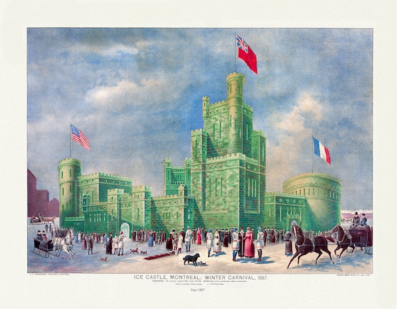 Montreal Winter Carnival, 1887 , vintage print reprinted on durable cotton canvas, 50 x 70 cm or 20x25" approx
$41.37
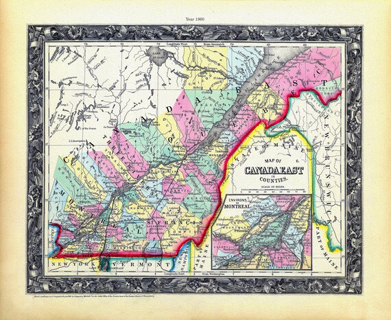 Quebec: Mitchell, Map Of Canada East In Counties, 1860 , map on heavy cotton canvas, 22x27" approx.
$41.37