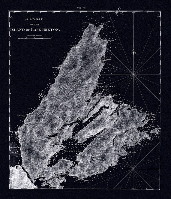
 A chart of the island of Cape Breton.1781, Des Barres auth. Ver. BWI , map on durable cotton canvas, 50 x 70 cm, 20 x 25" approx.
$41.48
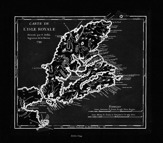 Bellin, Carte de L'isle Royalee, 1744 Ver. BWI, map on durable cotton canvas, 50 x 70 cm, 20 x 25" approx.
$41.48
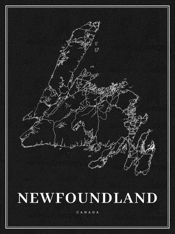 Newfoundland, A Modern Map Ver. Inv., map on durable cotton canvas, 50 x 70 cm, 20 x 25" approx.
$41.48
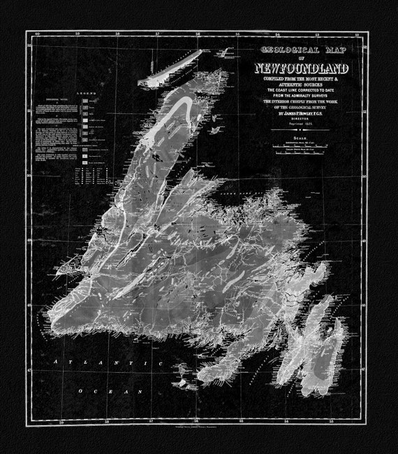 Geological Map of Newfoundland, 1921 Ver. BWI, vintage print on canvas, 50 x 70 cm, 20 x 25" approx.
$41.48
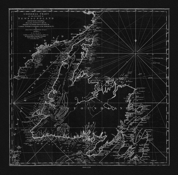 Jefferys, A General Chart Of The Island Of Newfoundland, 1776 Ver. BWI , map on durable cotton canvas, 50 x 70 cm, 20 x 25" approx.
$41.48
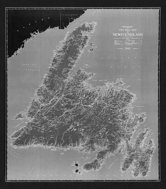 A Ten Mile Map of Newfoundland, 1941 Ver. BWI , map on durable cotton canvas, 50 x 70 cm, 20 x 25" approx.
$41.48
 Coronelli, Nova Totius Terrarum Orbis Geographica, 1606 Ver. D ,Map on heavy cotton canvas, 22x27in. approx.
$41.48
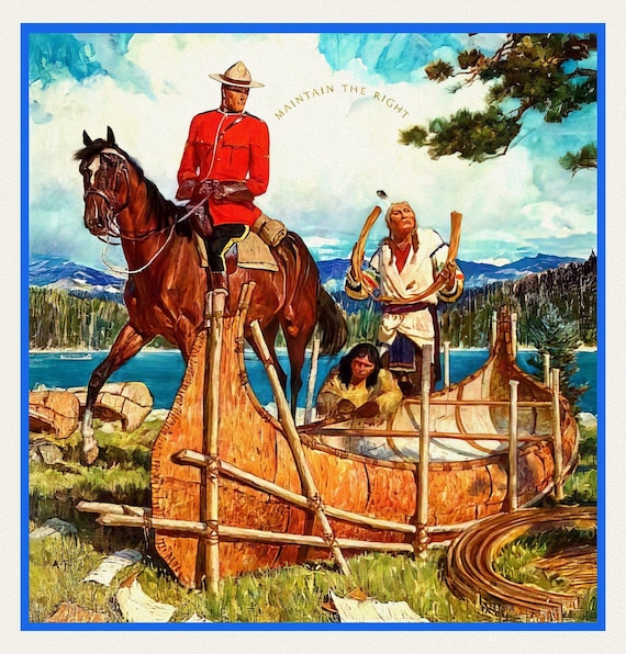 RCMP, Maintain The Right, Ver. VII, poster on heavy cotton canvas, 50 x 70 cm, 20 x 25" approx.
$41.48
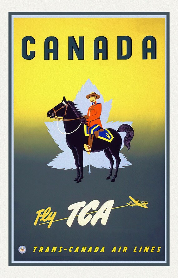 Fly Trans-Canada Airlines!, travel poster on heavy cotton canvas, 50 x 70 cm, 20 x 25" approx.
$41.48
 CNR to Everywhere in Canada, travel poster on heavy cotton canvas, 50 x 70 cm, 20 x 25" approx.
$41.48
 RCMP, Maintain The Right, Ver. V, poster on heavy cotton canvas, 50 x 70 cm, 20 x 25" approx.
$41.48
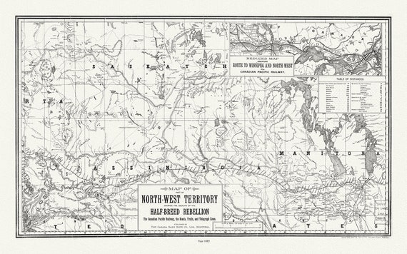 Map of part of North-West Territory shewing the locality of the Half-Breed Rebellion, 1885, map on canvas, 50 x 70 cm, 20 x 25" approx.
$41.48
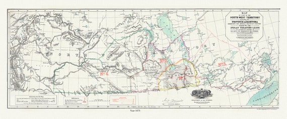 Northwest Territory, Manitoba Ceded by Indian Treaties 1,2,3, & 4, 1875 , map on durable cotton canvas, 20 x 34" approx.
$41.48
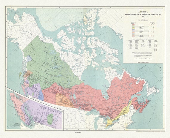 Canada, showing the locations of Indian bands with linguistic affiliations, 1965 , map on cotton canvas, 50 x 70 cm, 20 x 25" approx.
$41.48
 Northwest Territory, Manitoba Ceded by Indian Treaties 1,2,3, & 4, 1875 Ver. II, map on durable cotton canvas, 20 x 34" approx.
$52.79
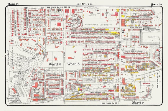 Plate 38, Toronto Uptown, Rosedale, Cottingham, Forest Hill South, 1923, Map on heavy cotton canvas, 18x27in. approx.
$41.48
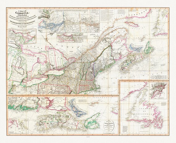 Purdy et Whittle, A Map Of Cabotia, Canada, 1814, map on heavy cotton canvas, 22x27" approx.
$41.48
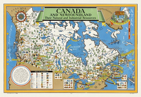 Canada and Newfoundland , Their natural and industrial resources, 1942, map on heavy cotton canvas, 22x27" approx.
$41.48
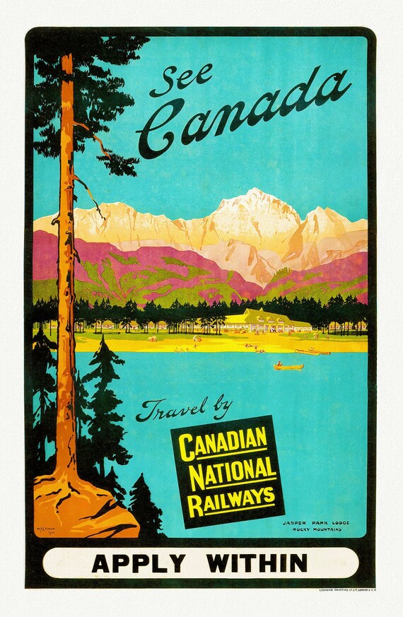 Canadian National Railways, See Canada, Jasper Park Lodge, c.1950 , travel poster on heavy cotton canvas, 22x27" approx.
$41.48
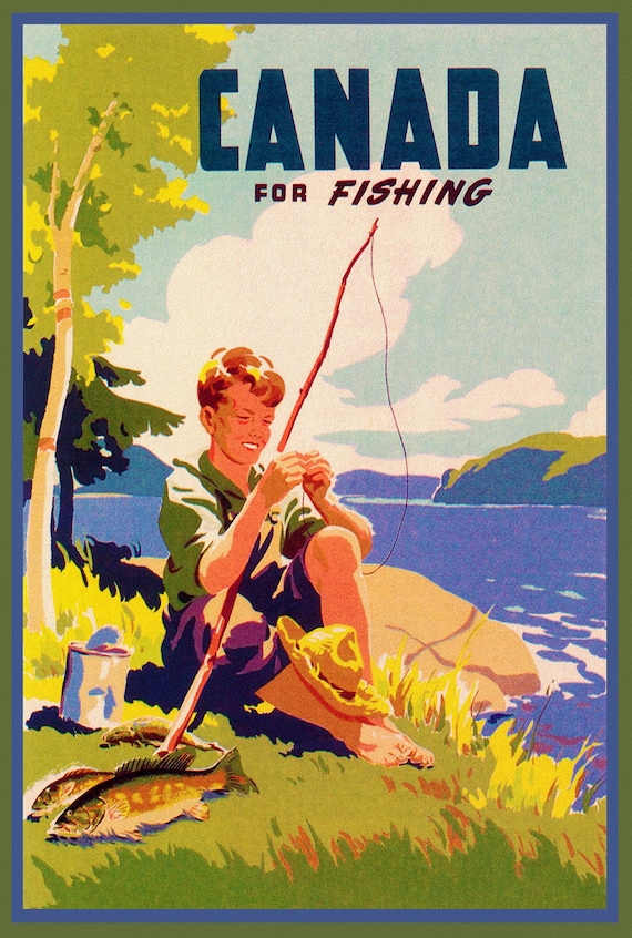 Canada for Fishing , travel poster on heavy cotton canvas, 20x25" approx.
$41.48