
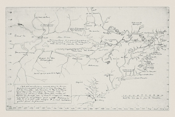
 Carte de la Nouvelle France, Champlain (1632) et Thoreau (1850), map on heavy cotton canvas, 50 x 70 cm, 20 x 25" approx.
$41.48
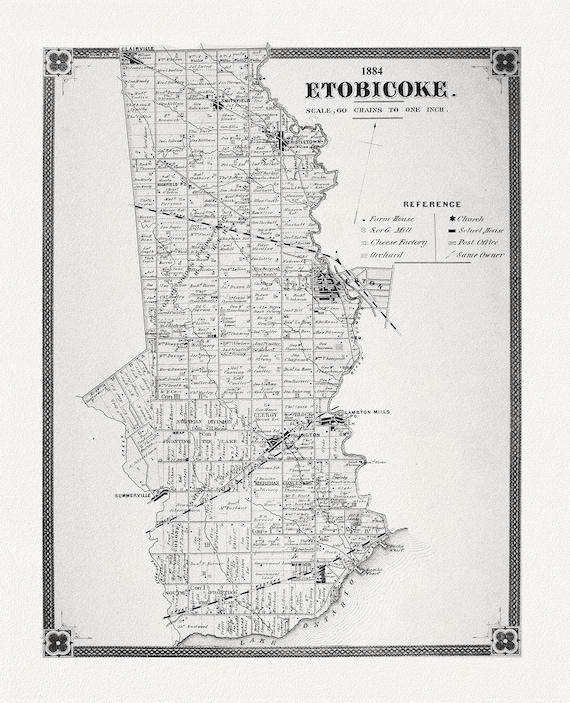 Etobicoke, York County Atlas, 1884, map on heavy cotton canvas, 22x27" approx.
$41.48
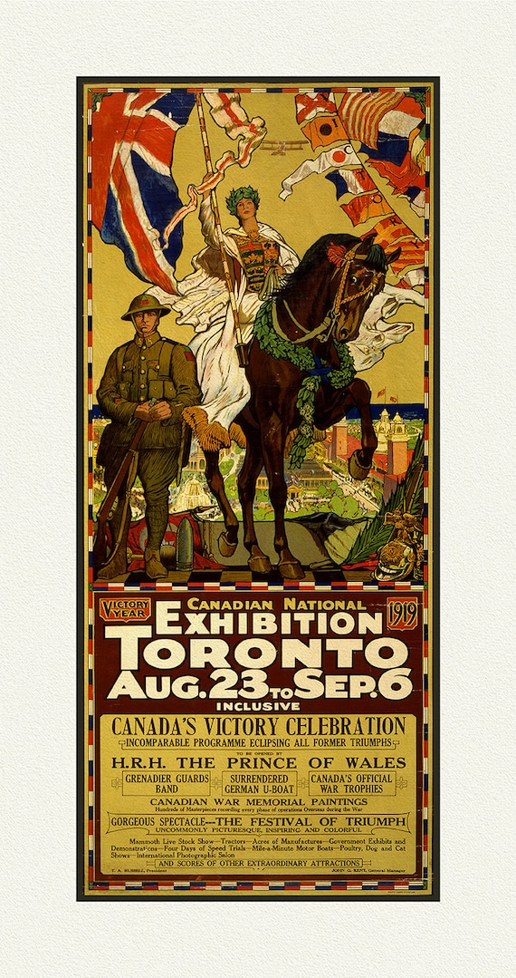 WW II, Canadian National Exhibition, 1919, vintage war poster on durable cotton canvas, 20 x 32" approx.
$41.48
 Giovanni Battista Piranesi, Le Carceri d'Invenzione, Planche IV, 1760, une gravure sur toile de coton épais, 56x70cm environ
$41.48
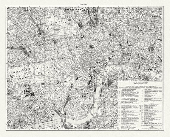 WW II, Map of Central London for Canadians on Leave, 1941 , map on durable cotton canvas, 50 x 70 cm, 20 x 25" approx.
$41.48
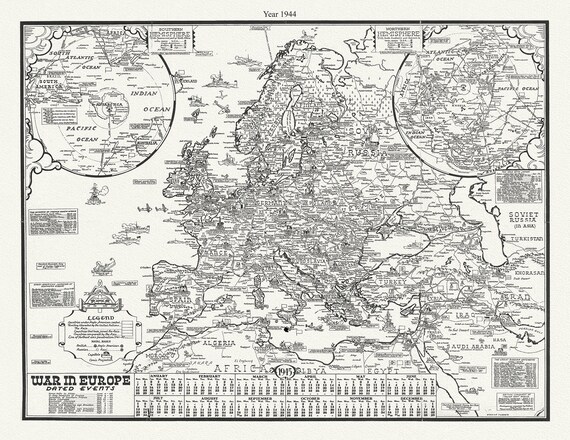 WW II, War In Europe, Dated Events 1944, S.Turner auth., map on durable cotton canvas, 50 x 70 cm, 20 x 25" approx.
$41.48
 WW II, War in Europe Dated Events, 1944, S. Turner auth., map on durable cotton canvas, 50 x 70 cm, 20 x 25" approx.
$41.48
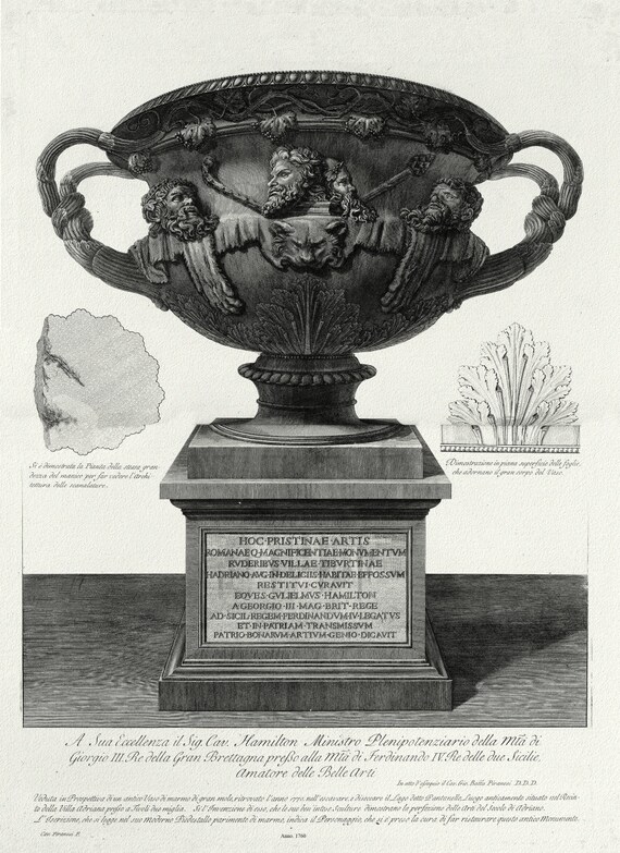 Giovanni Battista Piranesi, Vase with Pedestal, c. 1760, on heavy cotton canvas, 22x27" approx.
$41.48
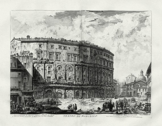 Giovanni Battista Piranesi, Vedute di Roma, Theater of Marcellus, c. 1760, on heavy cotton canvas, 22x27" approx.
$41.48
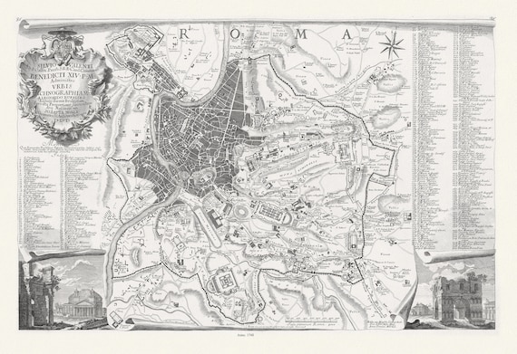 Noli et Bufalini, Administro Vrbis Ichnographiam, Roma, 1748map on heavy cotton canvas, 22x27" approx.
$41.48
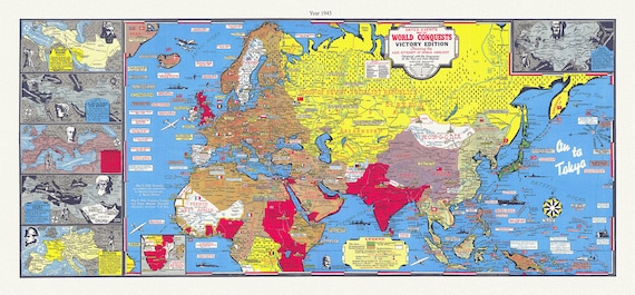 WW II, Dated events map of world conquests, 1945, S. Turner auth., map on durable cotton canvas, 50 x 100 cm, 20 x 36" approx.
$49.02
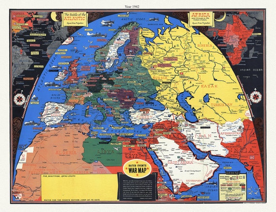 WW II, Dated events war map, 3rd ed.,1942 S. Turner auth. , map on durable cotton canvas, 50 x 70 cm, 20 x 25" approx.
$41.48
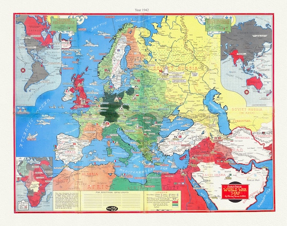 WW II Map, Dated Events 1942, Stanley Turner auth., map on durable cotton canvas, 50 x 70 cm, 20 x 25" approx.
$41.48
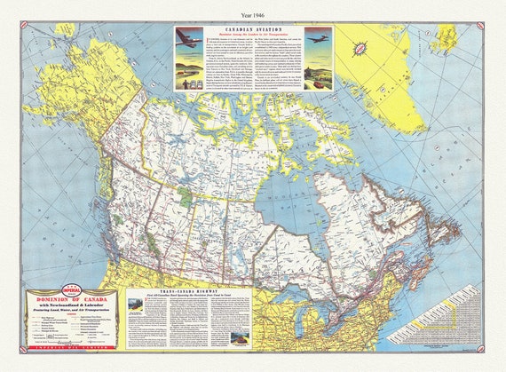 Dominion of Canada with Newfoundland & Labrador featuring land, water, and air transportation,1946, Turner auth., 50 x 70 cm approx
$41.48
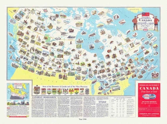 Pictorial map of the dominion of Canada with Newfoundland and Labrador Scenic, historic, recreationa, economic resources, 1946, Turner auth.
$41.48
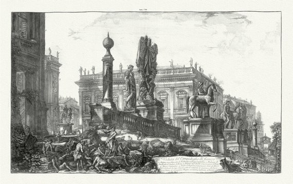 Giovanni Battista Piranesi, Vedute di Roma, Side View of the Capitoline Hill, c. 1760 , heavy cotton canvas, 22x27" approx.
$41.48
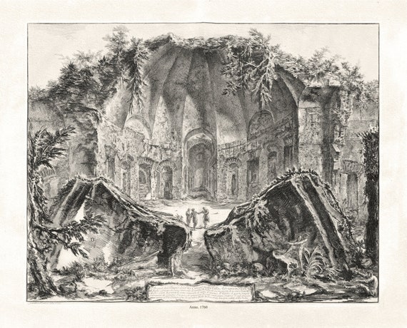 Giovanni Battista Piranesi, Remains of the Temple of the God Canopus at Hadrian's Villa in Tivoli, 1760, map on canvas, 22x27" approx.
$41.48
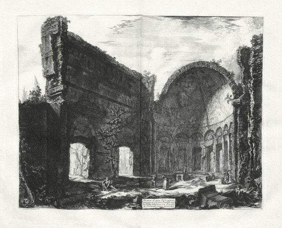 Giovanni Battista Piranesi, Vedute di Roma, Remains of a Praetorian Fort at Hadrian's Villa, c. 1760, map on cotton canvas, 22x27" approx.
$41.48
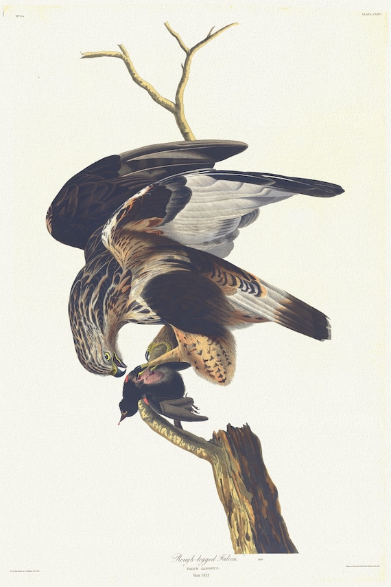 J.J. Audubon, Rough-legged falcon Falco lagopus, 1835, vintage nature print on canvas, 50 x 70 cm, 20 x 25" approx.
$41.48
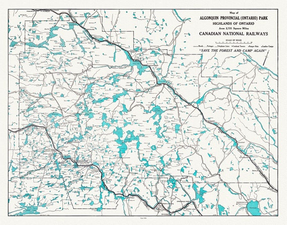 Historic Algonquin Park, Canadian National Railways, 1926, map on heavy cotton canvas, 22x27" approx.
$41.48