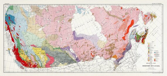
 Composite Geological Map of the Dominion of Canada, Issued 1915, on heavy cotton canvas, 22x27" approx.
$45.54
Composite Geological Map of the Dominion of Canada, Issued 1915, on heavy cotton canvas, 22x27" approx.
$45.54
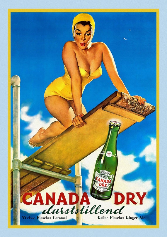 Canada Dry, poster on heavy cotton canvas, 50 x 70 cm, 20 x 25" approx.
$45.54
Canada Dry, poster on heavy cotton canvas, 50 x 70 cm, 20 x 25" approx.
$45.54
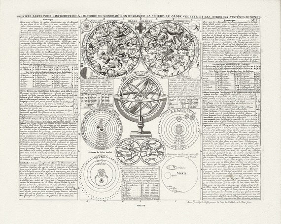 Henri Chatelaine, Tom I. No. 1. Premiere Carte Pour L'Introduction A L'Histoire Du Monde, 1718, canvas 22x27" approx.
$45.54
Henri Chatelaine, Tom I. No. 1. Premiere Carte Pour L'Introduction A L'Histoire Du Monde, 1718, canvas 22x27" approx.
$45.54
 Lake Louise in the Canadian Rockies, vintage print on canvas, 50 x 70 cm, 20 x 25" approx.
$45.54
Lake Louise in the Canadian Rockies, vintage print on canvas, 50 x 70 cm, 20 x 25" approx.
$45.54
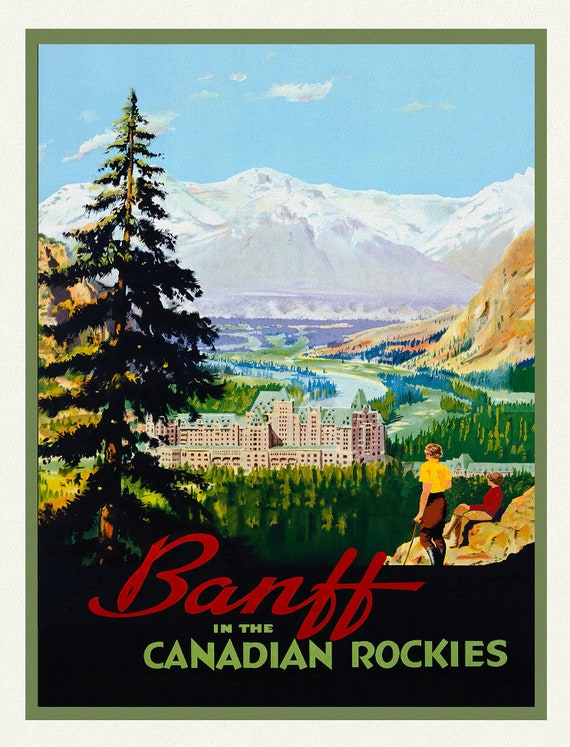 Banff in the Canadian Rockies, vintage travel poster on durable cotton canvas, 50 x 70 cm, 20 x 25" approx
$45.54
Banff in the Canadian Rockies, vintage travel poster on durable cotton canvas, 50 x 70 cm, 20 x 25" approx
$45.54
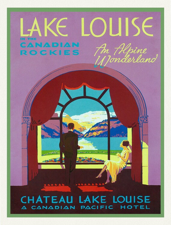
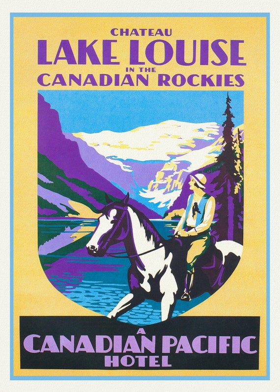 Chateau Lake Louise in the Canadian Rockies, vintage print on canvas, 50 x 70 cm, 20 x 25" approx.
$45.54
Chateau Lake Louise in the Canadian Rockies, vintage print on canvas, 50 x 70 cm, 20 x 25" approx.
$45.54
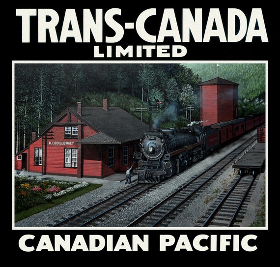
 Trans-Canada, Canadian Pacific Railway Ver. XXXVI, vintage poster on durable cotton canvas, 50 x 70 cm, 20 x 25" approx.
$45.54
Trans-Canada, Canadian Pacific Railway Ver. XXXVI, vintage poster on durable cotton canvas, 50 x 70 cm, 20 x 25" approx.
$45.54
 Trans-Canada, Canadian Pacific Railway Ver. XXX
$45.54
Trans-Canada, Canadian Pacific Railway Ver. XXX
$45.54
 Trans-Canada, Canadian Pacific Railway Ver. V , vintage poster on durable cotton canvas, 50 x 70 cm, 20 x 25" approx.
$45.54
Trans-Canada, Canadian Pacific Railway Ver. V , vintage poster on durable cotton canvas, 50 x 70 cm, 20 x 25" approx.
$45.54
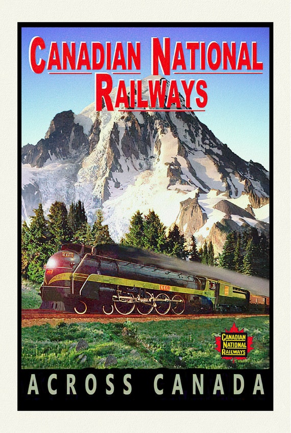 CNR Across Canada, vintage war poster on durable cotton canvas, 50 x 70 cm, 20 x 25" approx.
$45.54
CNR Across Canada, vintage war poster on durable cotton canvas, 50 x 70 cm, 20 x 25" approx.
$45.54
 CPR, Travel by Train, Ver. II , vintage poster on durable cotton canvas, 50 x 70 cm, 20 x 25" approx.
$45.54
CPR, Travel by Train, Ver. II , vintage poster on durable cotton canvas, 50 x 70 cm, 20 x 25" approx.
$45.54
 Trans-Canada, Canadian Pacific Railway Ver. VI, vintage war poster on durable cotton canvas, 50 x 70 cm, 20 x 25" approx.
$45.54
Trans-Canada, Canadian Pacific Railway Ver. VI, vintage war poster on durable cotton canvas, 50 x 70 cm, 20 x 25" approx.
$45.54
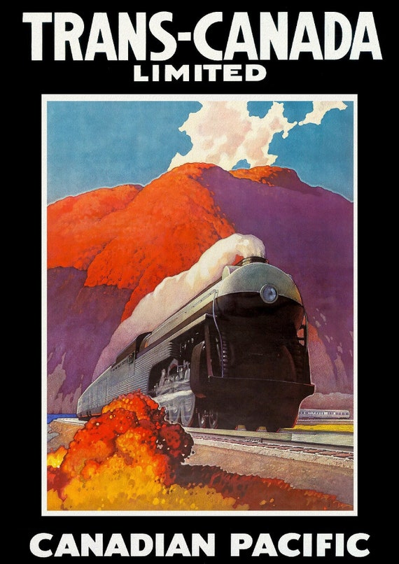 Trans-Canada Ltd., Canadian Pacific Ver. III , vintage poster on durable cotton canvas, 50 x 70 cm, 20 x 25" approx.
$45.54
Trans-Canada Ltd., Canadian Pacific Ver. III , vintage poster on durable cotton canvas, 50 x 70 cm, 20 x 25" approx.
$45.54
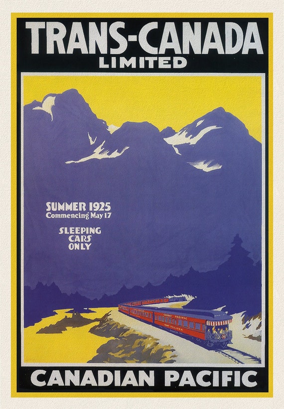 Trans Canada Ltd., Canadian Pacific, 1925, vintage poster on durable cotton canvas, 50 x 70 cm, 20 x 25" approx.
$45.54
Trans Canada Ltd., Canadian Pacific, 1925, vintage poster on durable cotton canvas, 50 x 70 cm, 20 x 25" approx.
$45.54
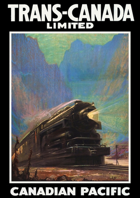
 Trans Canada Ltd., Fastest Train Across the Continent, vintage poster on durable cotton canvas, 50 x 70 cm, 20 x 25" approx.
$45.54
Trans Canada Ltd., Fastest Train Across the Continent, vintage poster on durable cotton canvas, 50 x 70 cm, 20 x 25" approx.
$45.54
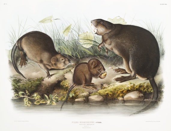 J.J. Audobon, Musk-Rat, Musquash (Fiber Zibethicus) from the viviparous quadrupeds of North America (1845) , 50 x 70 cm, 20 x 25" approx.
$45.54
J.J. Audobon, Musk-Rat, Musquash (Fiber Zibethicus) from the viviparous quadrupeds of North America (1845) , 50 x 70 cm, 20 x 25" approx.
$45.54
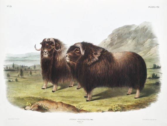 J.J. Audobon, Musk Ox (Ovibos moschatus) from the viviparous quadrupeds of North America (1845), on canvas, 50 x 70 cm, 20 x 25" approx.
$45.54
J.J. Audobon, Musk Ox (Ovibos moschatus) from the viviparous quadrupeds of North America (1845), on canvas, 50 x 70 cm, 20 x 25" approx.
$45.54
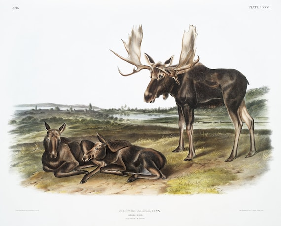 J.J. Audobon, Moose Deer (Servus alces) from the viviparous quadrupeds of North America (1845) , on canvas, 50 x 70 cm, 20 x 25" approx.
$45.54
J.J. Audobon, Moose Deer (Servus alces) from the viviparous quadrupeds of North America (1845) , on canvas, 50 x 70 cm, 20 x 25" approx.
$45.54
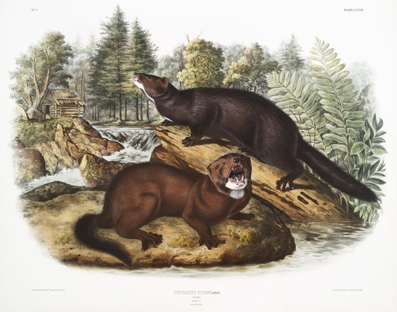 J.J. Audobon, Mink (Putorius vison) from the viviparous quadrupeds of North America (1845), print on canvas, 50 x 70 cm, 20 x 25" approx.
$45.54
J.J. Audobon, Mink (Putorius vison) from the viviparous quadrupeds of North America (1845), print on canvas, 50 x 70 cm, 20 x 25" approx.
$45.54
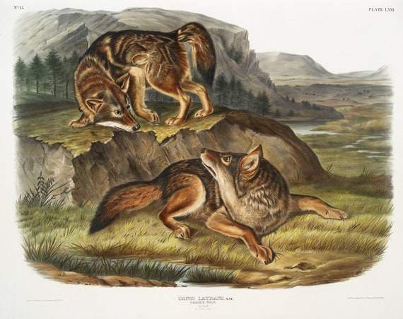 J.J. Audobon, Prairie Wolf (Canis latrans) from the viviparous quadrupeds of North America (1845), on canvas, 50 x 70 cm, 20 x 25" approx.
$45.54
J.J. Audobon, Prairie Wolf (Canis latrans) from the viviparous quadrupeds of North America (1845), on canvas, 50 x 70 cm, 20 x 25" approx.
$45.54